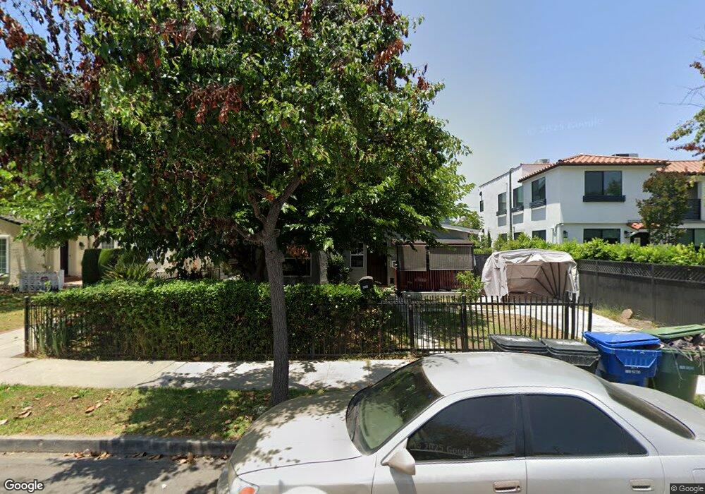
1615 S Corning St Los Angeles, CA 90035
Pico-Robertson NeighborhoodEstimated Value: $1,983,649 - $2,471,000
5
Beds
4
Baths
2,160
Sq Ft
$1,048/Sq Ft
Est. Value
About This Home
This home is located at 1615 S Corning St, Los Angeles, CA 90035 and is currently estimated at $2,263,412, approximately $1,047 per square foot. 1615 S Corning St is a home located in Los Angeles County with nearby schools including Crescent Heights Boulevard Elementary School, Daniel Webster Middle School, and Alexander Hamilton Senior High School.
Ownership History
Date
Name
Owned For
Owner Type
Purchase Details
Closed on
Mar 31, 2016
Sold by
Sanders Whitfield Carol
Bought by
Sanders Whitfield Carol and Carol Sanders Whitfield Trust
Current Estimated Value
Home Financials for this Owner
Home Financials are based on the most recent Mortgage that was taken out on this home.
Original Mortgage
$107,150
Outstanding Balance
$7,370
Interest Rate
3.62%
Mortgage Type
New Conventional
Estimated Equity
$2,256,042
Purchase Details
Closed on
Aug 13, 2011
Sold by
Sanders Whitfield Carol
Bought by
Sanders Whitfield Carol and Carol Sanders Whitfield Trust
Home Financials for this Owner
Home Financials are based on the most recent Mortgage that was taken out on this home.
Original Mortgage
$169,325
Interest Rate
4.53%
Mortgage Type
New Conventional
Purchase Details
Closed on
Mar 12, 2010
Sold by
Sanders Whitfield Carol
Bought by
Sanders Whitfield Carol and Carol Sanders Whitfield Trust
Home Financials for this Owner
Home Financials are based on the most recent Mortgage that was taken out on this home.
Original Mortgage
$143,375
Interest Rate
5%
Mortgage Type
New Conventional
Purchase Details
Closed on
Oct 17, 2007
Sold by
Sanders Whitfield Carol
Bought by
Sanders Whitfield Carol and Carol Sanders Whitfield Trust
Home Financials for this Owner
Home Financials are based on the most recent Mortgage that was taken out on this home.
Original Mortgage
$150,425
Interest Rate
6.42%
Mortgage Type
New Conventional
Purchase Details
Closed on
May 6, 2003
Sold by
Sanders Whitfield Carol
Bought by
Sanders Whitfield Carol and The Carol Sanders Whitfield Trust
Purchase Details
Closed on
May 29, 1997
Sold by
Sanders Whitfield Carol and Mcknight Richard
Bought by
Sanders Whitfield Carol
Home Financials for this Owner
Home Financials are based on the most recent Mortgage that was taken out on this home.
Original Mortgage
$176,000
Interest Rate
7.91%
Create a Home Valuation Report for This Property
The Home Valuation Report is an in-depth analysis detailing your home's value as well as a comparison with similar homes in the area
Home Values in the Area
Average Home Value in this Area
Purchase History
| Date | Buyer | Sale Price | Title Company |
|---|---|---|---|
| Sanders Whitfield Carol | -- | None Available | |
| Sanders Whitfield Carol | -- | None Available | |
| Sanders Whitfield Carol | -- | None Available | |
| Sanders Whitfield Carol | -- | None Available | |
| Sanders Whitfield Carol | -- | None Available | |
| Sanders Whitfield Carol | -- | None Available | |
| Sanders Whitfield Carol | -- | Orange Coast Title | |
| Sanders Whitfield Carol | -- | Orange Coast Title | |
| Sanders Whitfield Carol | -- | -- | |
| Sanders Whitfield Carol | -- | United Title |
Source: Public Records
Mortgage History
| Date | Status | Borrower | Loan Amount |
|---|---|---|---|
| Open | Sanders Whitfield Carol | $107,150 | |
| Closed | Sanders Whitfield Carol | $169,325 | |
| Closed | Sanders Whitfield Carol | $143,375 | |
| Closed | Sanders Whitfield Carol | $150,425 | |
| Closed | Sanders Whitfield Carol | $176,000 |
Source: Public Records
Tax History Compared to Growth
Tax History
| Year | Tax Paid | Tax Assessment Tax Assessment Total Assessment is a certain percentage of the fair market value that is determined by local assessors to be the total taxable value of land and additions on the property. | Land | Improvement |
|---|---|---|---|---|
| 2025 | $3,549 | $277,316 | $43,850 | $233,466 |
| 2024 | $3,549 | $271,880 | $42,991 | $228,889 |
| 2023 | $3,488 | $266,550 | $42,149 | $224,401 |
| 2022 | $3,338 | $261,324 | $41,323 | $220,001 |
| 2021 | $3,283 | $256,201 | $40,513 | $215,688 |
| 2019 | $3,189 | $248,604 | $39,312 | $209,292 |
| 2018 | $3,093 | $243,731 | $38,542 | $205,189 |
| 2016 | $2,938 | $234,269 | $37,047 | $197,222 |
| 2015 | $2,896 | $230,751 | $36,491 | $194,260 |
| 2014 | $2,914 | $226,232 | $35,777 | $190,455 |
Source: Public Records
Map
Nearby Homes
- 8521 Horner St
- 1726 S Sherbourne Dr
- 8536 Saturn St
- 1527 S Bedford St
- 1622 Alvira St
- 8521 Saturn St
- 1255 S La Cienega Blvd
- 6086 Horner St
- 8553 Alcott St
- 1615 S Crescent Heights Blvd
- 8559 Alcott St Unit 301
- 6147 Alcott St
- 6100 Alcott St
- 1810 S Sherbourne Dr
- 1427 S Bedford St
- 8767 Airdrome St
- 6082 W 18th St
- 1233 S Bedford St
- 1210 S Shenandoah St Unit 104
- 1449 S Point View St
- 1609 S Corning St
- 1607 S Corning St
- 1617 S Corning St
- 1621 S Corning St
- 1601 S Corning St
- 1612 S Holt Ave
- 1616 S Holt Ave
- 1606 S Holt Ave
- 1618 S Holt Ave
- 1620 S Holt Ave
- 1627 S Corning St
- 1614 S Holt Ave
- 8590 Pickford St
- 1612 S Corning St
- 1600 S Holt Ave
- 1626 S Holt Ave
- 1606 S Corning St
- 1616 S Corning St
- 1600 S Corning St
- 1631 S Corning St