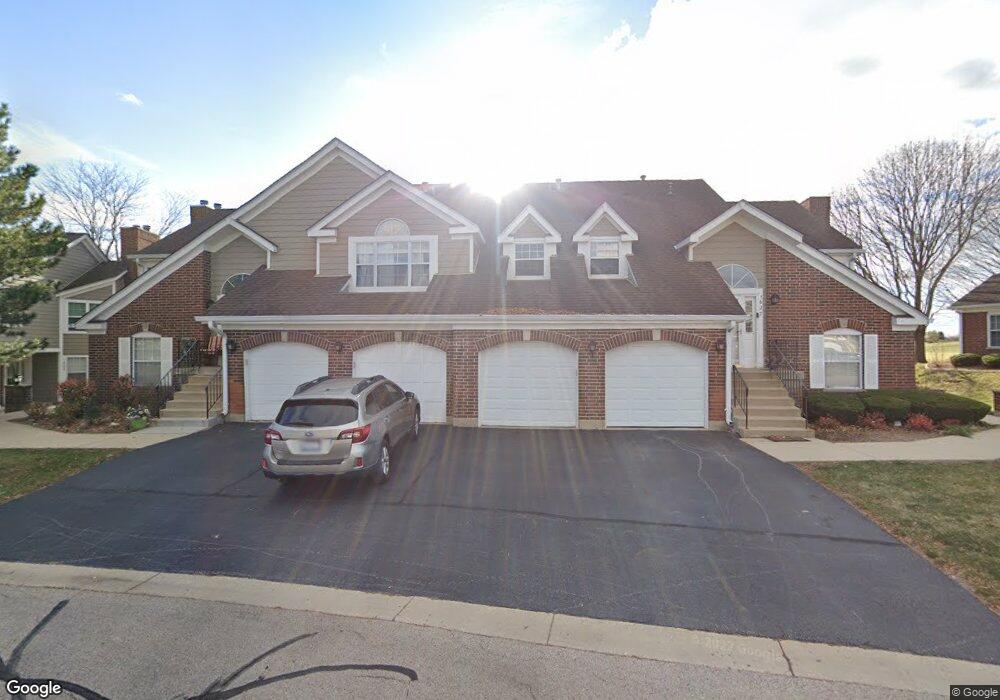
1627 Glengarry Ct Unit 1 Algonquin, IL 60102
Estimated Value: $276,944 - $287,000
3
Beds
2
Baths
1,583
Sq Ft
$177/Sq Ft
Est. Value
About This Home
This home is located at 1627 Glengarry Ct Unit 1, Algonquin, IL 60102 and is currently estimated at $279,736, approximately $176 per square foot. 1627 Glengarry Ct Unit 1 is a home located in McHenry County with nearby schools including Westfield Community School, Kenneth E Neubert Elementary School, and United Junior High School.
Ownership History
Date
Name
Owned For
Owner Type
Purchase Details
Closed on
Jan 31, 2018
Sold by
The Estate Of Sharon G Ewing and Ewings Patrick William
Bought by
Nagonski Patrick and Luberda Anna M
Current Estimated Value
Home Financials for this Owner
Home Financials are based on the most recent Mortgage that was taken out on this home.
Original Mortgage
$148,675
Outstanding Balance
$129,298
Interest Rate
5.12%
Mortgage Type
New Conventional
Estimated Equity
$150,438
Purchase Details
Closed on
Sep 30, 1999
Sold by
Piper Nancy A
Bought by
Ewing Sharon G
Home Financials for this Owner
Home Financials are based on the most recent Mortgage that was taken out on this home.
Original Mortgage
$101,600
Interest Rate
6.87%
Create a Home Valuation Report for This Property
The Home Valuation Report is an in-depth analysis detailing your home's value as well as a comparison with similar homes in the area
Home Values in the Area
Average Home Value in this Area
Purchase History
| Date | Buyer | Sale Price | Title Company |
|---|---|---|---|
| Nagonski Patrick | $156,500 | Citywide Title Corp | |
| Ewing Sharon G | $127,000 | -- |
Source: Public Records
Mortgage History
| Date | Status | Borrower | Loan Amount |
|---|---|---|---|
| Open | Nagonski Patrick | $148,675 | |
| Previous Owner | Ewing Sharon G | $101,600 |
Source: Public Records
Tax History Compared to Growth
Tax History
| Year | Tax Paid | Tax Assessment Tax Assessment Total Assessment is a certain percentage of the fair market value that is determined by local assessors to be the total taxable value of land and additions on the property. | Land | Improvement |
|---|---|---|---|---|
| 2024 | $4,699 | $68,070 | $15,898 | $52,172 |
| 2023 | $4,427 | $60,880 | $14,219 | $46,661 |
| 2022 | $4,481 | $58,251 | $22,054 | $36,197 |
| 2021 | $4,283 | $54,268 | $20,546 | $33,722 |
| 2020 | $4,162 | $52,347 | $19,819 | $32,528 |
| 2019 | $4,050 | $50,102 | $18,969 | $31,133 |
| 2018 | $4,354 | $45,677 | $17,523 | $28,154 |
| 2017 | $2,924 | $43,031 | $16,508 | $26,523 |
| 2016 | $3,087 | $40,359 | $15,483 | $24,876 |
| 2013 | -- | $44,877 | $14,444 | $30,433 |
Source: Public Records
Map
Nearby Homes
- 1820 Crofton Dr
- 741 Regal Ln
- 700 Fairfield Ln
- 1 N Hubbard St
- SWC Talaga and Algonquin Rd
- 661 Majestic Dr
- 2235 Dawson Ln
- 2161 Burnham Ct
- 1235 Fairmont Ct
- 1971 Peach Tree Ln
- 2043 Peach Tree Ln Unit 4122
- 000 County Line Rd
- 305 Buckingham Dr
- 1900 Waverly Ln
- 2060 Dorchester Ave
- 721 Brentwood Ct
- 30 Arbordale Ct Unit 4284
- 266 Grandview Ct
- 710 Sprucetree Ln
- 135 Arquilla Dr
- 1641 Glengarry Ct Unit 111
- 1623 Glengarry Ct Unit 133
- 1645 Glengarry Ct Unit 112
- 1625 Glengarry Ct Unit 132
- 1643 Glengarry Ct Unit 113
- 1647 Glengarry Ct Unit 114
- 1621 Glengarry Ct Unit 131
- 1627 Glengarry Ct Unit 134
- 1643 Glengarry Ct
- 1643 Glengarry Ct
- 1643 Glengarry Ct
- 1643 Glengarry Ct
- 1653 Glengarry Ct
- 1651 Glengarry Ct Unit 101
- 1637 Glengarry Ct Unit 124
- 1635 Glengarry Ct Unit 123
- 1655 Glengarry Ct Unit 103
- 1657 Glengarry Ct Unit 104
- 1633 Glengarry Ct Unit 122
- 1631 Glengarry Ct Unit 121