1628 Lexington Ln Unit 66 Shakopee, MN 55379
Estimated Value: $290,000 - $309,000
3
Beds
4
Baths
1,539
Sq Ft
$194/Sq Ft
Est. Value
About This Home
This home is located at 1628 Lexington Ln Unit 66, Shakopee, MN 55379 and is currently estimated at $298,613, approximately $194 per square foot. 1628 Lexington Ln Unit 66 is a home located in Scott County with nearby schools including Sun Path Elementary School, Shakopee West Middle School, and Shakopee Senior High School.
Ownership History
Date
Name
Owned For
Owner Type
Purchase Details
Closed on
Jun 17, 2016
Sold by
Sternat Lisa
Bought by
Theyson Brenda J
Current Estimated Value
Purchase Details
Closed on
Sep 30, 2003
Sold by
Cobb Anne M
Bought by
Sternat Lisa
Purchase Details
Closed on
Jan 3, 2002
Sold by
Llen Homes Corp
Bought by
Cobb Anne M
Purchase Details
Closed on
Dec 11, 2001
Sold by
Dublin Square Llc
Bought by
Allen Homes Corp
Create a Home Valuation Report for This Property
The Home Valuation Report is an in-depth analysis detailing your home's value as well as a comparison with similar homes in the area
Home Values in the Area
Average Home Value in this Area
Purchase History
| Date | Buyer | Sale Price | Title Company |
|---|---|---|---|
| Theyson Brenda J | $195,000 | Partners Title Llc | |
| Sternat Lisa | $192,000 | -- | |
| Cobb Anne M | $167,500 | -- | |
| Allen Homes Corp | $35,600 | -- |
Source: Public Records
Tax History Compared to Growth
Tax History
| Year | Tax Paid | Tax Assessment Tax Assessment Total Assessment is a certain percentage of the fair market value that is determined by local assessors to be the total taxable value of land and additions on the property. | Land | Improvement |
|---|---|---|---|---|
| 2025 | $2,900 | $304,700 | $76,100 | $228,600 |
| 2024 | $2,984 | $290,800 | $72,400 | $218,400 |
| 2023 | $3,068 | $286,800 | $71,000 | $215,800 |
| 2022 | $2,806 | $289,700 | $72,700 | $217,000 |
| 2021 | $2,250 | $232,500 | $57,000 | $175,500 |
| 2020 | $2,528 | $208,600 | $47,300 | $161,300 |
| 2019 | $2,492 | $206,200 | $50,000 | $156,200 |
| 2018 | $2,488 | $0 | $0 | $0 |
| 2016 | $2,602 | $0 | $0 | $0 |
| 2014 | -- | $0 | $0 | $0 |
Source: Public Records
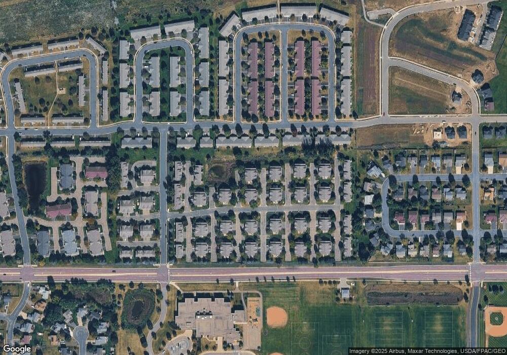
Map
Nearby Homes
- 1552 Dublin Ct
- 2471 Tyrone Dr
- 2447 Tyrone Dr
- 2399 Tyrone Dr
- 1511 England Way
- 2263 Tyrone Dr
- 2006 Tyrone Dr
- 1844 Mockingbird Ave Unit 1102
- 1820 Mockingbird Ave
- 1624 Philipp Way
- Lewis Plan at Summerland Place - Landmark Collection
- 2795 Downing Ave
- Vanderbilt Plan at Summerland Place - Landmark Collection
- Sinclair Plan at Summerland Place - Landmark Collection
- 2388 Vierling Dr E
- 2804 Trinity Dr
- Nokomis Plan at Summerland Place - The Tradition Collection
- Gregorian Plan at Summerland Place - The Tradition Collection
- 1542 Philipp Way
- Pryor Plan at Summerland Place - The Tradition Collection
- 1633 Hamilton Ln
- 1620 Lexington Ln
- 1620 Lexington Ln Unit 65
- 1625 Hamilton Ln
- 1636 Lexington Ln Unit 69
- 1641 Hamilton Ln
- 1641 Hamilton Ln Unit 72
- 1625 Lexington Ln
- 1617 Lexington Ln
- 1644 Lexington Ln
- 1649 Hamilton Ln Unit 71
- 1633 Lexington Ln
- 1632 Bedford Ln
- 1624 Bedford Ln
- 1641 Lexington Ln
- 1640 Bedford Ln Unit 86
- 1638 Hamilton Ln
- 1648 Bedford Ln
- 1646 Hamilton Ln Unit 48
- 1639 Wellington Ln