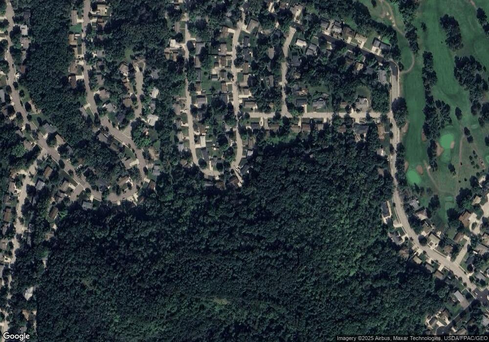
1629 Poplar Dr Red Wing, MN 55066
Estimated Value: $257,219 - $296,000
3
Beds
2
Baths
1,296
Sq Ft
$218/Sq Ft
Est. Value
About This Home
This home is located at 1629 Poplar Dr, Red Wing, MN 55066 and is currently estimated at $283,055, approximately $218 per square foot. 1629 Poplar Dr is a home located in Goodhue County with nearby schools including Sunnyside Elementary School, Burnside Elementary School, and Twin Bluff Middle School.
Ownership History
Date
Name
Owned For
Owner Type
Purchase Details
Closed on
Jul 7, 2021
Sold by
Gadient Brothers Properties Llc
Bought by
Hauschildt Chad M and Hauschildt Stacey M
Current Estimated Value
Home Financials for this Owner
Home Financials are based on the most recent Mortgage that was taken out on this home.
Original Mortgage
$77,000
Outstanding Balance
$16,305
Interest Rate
2.9%
Mortgage Type
New Conventional
Estimated Equity
$266,750
Purchase Details
Closed on
Jul 28, 2020
Sold by
Hauschildt Chad M and Hauschildt Stacey M
Bought by
Hauschildt Chad M and Hauschildt Stacey M
Home Financials for this Owner
Home Financials are based on the most recent Mortgage that was taken out on this home.
Original Mortgage
$136,000
Interest Rate
3.1%
Mortgage Type
New Conventional
Purchase Details
Closed on
Jan 15, 2015
Sold by
Betcher Cynthia L and Exner Scott D
Bought by
Mobraten Jean M and Mobraten Michael
Create a Home Valuation Report for This Property
The Home Valuation Report is an in-depth analysis detailing your home's value as well as a comparison with similar homes in the area
Home Values in the Area
Average Home Value in this Area
Purchase History
| Date | Buyer | Sale Price | Title Company |
|---|---|---|---|
| Hauschildt Chad M | $75,000 | Hertland Title | |
| Hauschildt Chad M | -- | Knight Barry Title | |
| Hauschildt Chad M | $135,751 | Knight Barry Ttl United Llc | |
| Mobraten Jean M | -- | Attorney | |
| Mobraten Jean M | -- | Attorney |
Source: Public Records
Mortgage History
| Date | Status | Borrower | Loan Amount |
|---|---|---|---|
| Open | Hauschildt Chad M | $77,000 | |
| Previous Owner | Hauschildt Chad M | $136,000 |
Source: Public Records
Tax History
| Year | Tax Paid | Tax Assessment Tax Assessment Total Assessment is a certain percentage of the fair market value that is determined by local assessors to be the total taxable value of land and additions on the property. | Land | Improvement |
|---|---|---|---|---|
| 2025 | $3,024 | $252,600 | $54,900 | $197,700 |
| 2024 | $3,024 | $244,500 | $54,900 | $189,600 |
| 2023 | $1,514 | $230,600 | $55,000 | $175,600 |
| 2022 | $2,544 | $218,500 | $44,200 | $174,300 |
| 2021 | $2,370 | $187,400 | $44,200 | $143,200 |
| 2020 | $2,346 | $178,200 | $44,200 | $134,000 |
| 2019 | $2,358 | $166,500 | $44,200 | $122,300 |
| 2018 | $1,880 | $168,800 | $42,600 | $126,200 |
| 2017 | $1,822 | $148,600 | $42,600 | $106,000 |
| 2016 | $1,684 | $146,300 | $42,600 | $103,700 |
| 2015 | $1,616 | $142,600 | $42,600 | $100,000 |
| 2014 | -- | $137,100 | $42,600 | $94,500 |
Source: Public Records
Map
Nearby Homes
- 1578 Alvina St
- 1330 Hillside Dr
- 1348 Hillside Dr
- 717 Blaine St
- 1828 Perlich Ave Unit 2G
- 1757 Cobblestone Ct
- 1528 W 6th St
- 1108 Hawthorne St
- 1606 Reichert Ave
- 1738 W 6th St
- 1715 W 5th St
- 1020 Hawthorne St
- 1227 W 4th St
- 1758 W 5th St
- 1050 Sturtevant St
- 1130 W 4th St
- 1062 Putnam Ave
- 1815 Grandview Ave
- 1004 College Ave
- 1012 West Ave
- 1623 Poplar Dr
- 1637 Poplar Dr
- 1622 Poplar Dr
- 1617 Poplar Dr
- 1643 Poplar Dr
- 1612 Poplar Dr
- 1638 Birchwood Dr
- 1415 Red Oak Ave
- 1405 Red Oak Ave
- 1604 Poplar Dr
- 1613 Birchwood Dr
- 1605 Birchwood Dr
- 1353 Red Oak Ave
- 1560 Poplar Dr
- 27926 Poplar Ridge Trail
- 1620 Sumac Dr
- 1416 Red Oak Ave
- 1406 Red Oak Ave
- 1622 Birchwood Dr
- 1347 Red Oak Ave
