16301 New Kent Hwy Unit A Lanexa, VA 23089
Estimated Value: $500,000 - $930,282
3
Beds
3
Baths
1,789
Sq Ft
$384/Sq Ft
Est. Value
About This Home
This home is located at 16301 New Kent Hwy Unit A, Lanexa, VA 23089 and is currently estimated at $687,071, approximately $384 per square foot. 16301 New Kent Hwy Unit A is a home located in New Kent County with nearby schools including New Kent High School.
Ownership History
Date
Name
Owned For
Owner Type
Purchase Details
Closed on
Aug 8, 2024
Sold by
Goldstein Barry S and Li Ami
Bought by
Camco Properties Llc
Current Estimated Value
Home Financials for this Owner
Home Financials are based on the most recent Mortgage that was taken out on this home.
Original Mortgage
$1,600,000
Outstanding Balance
$1,298,765
Interest Rate
6.95%
Mortgage Type
New Conventional
Estimated Equity
-$611,694
Purchase Details
Closed on
Aug 18, 2014
Sold by
Langenhennig William E
Bought by
Goldstein Barry and Barry S & Ami B Goldstein Liv
Create a Home Valuation Report for This Property
The Home Valuation Report is an in-depth analysis detailing your home's value as well as a comparison with similar homes in the area
Home Values in the Area
Average Home Value in this Area
Purchase History
| Date | Buyer | Sale Price | Title Company |
|---|---|---|---|
| Camco Properties Llc | $1,652,500 | Fidelity National Title | |
| Goldstein Barry | $265,000 | -- |
Source: Public Records
Mortgage History
| Date | Status | Borrower | Loan Amount |
|---|---|---|---|
| Open | Camco Properties Llc | $1,600,000 |
Source: Public Records
Tax History Compared to Growth
Tax History
| Year | Tax Paid | Tax Assessment Tax Assessment Total Assessment is a certain percentage of the fair market value that is determined by local assessors to be the total taxable value of land and additions on the property. | Land | Improvement |
|---|---|---|---|---|
| 2025 | $2,792 | $462,300 | $80,200 | $382,100 |
| 2024 | $2,728 | $462,300 | $80,200 | $382,100 |
| 2023 | $2,619 | $390,900 | $71,800 | $319,100 |
| 2022 | $2,619 | $390,900 | $71,800 | $319,100 |
| 2021 | $2,533 | $320,600 | $51,400 | $269,200 |
| 2020 | $2,533 | $320,600 | $51,400 | $269,200 |
| 2019 | $2,360 | $287,800 | $42,500 | $245,300 |
| 2018 | $2,360 | $287,800 | $42,500 | $245,300 |
| 2017 | $1,911 | $230,300 | $41,000 | $189,300 |
| 2016 | $1,911 | $230,300 | $41,000 | $189,300 |
| 2015 | $2,088 | $248,600 | $44,700 | $203,900 |
| 2014 | -- | $248,600 | $44,700 | $203,900 |
Source: Public Records
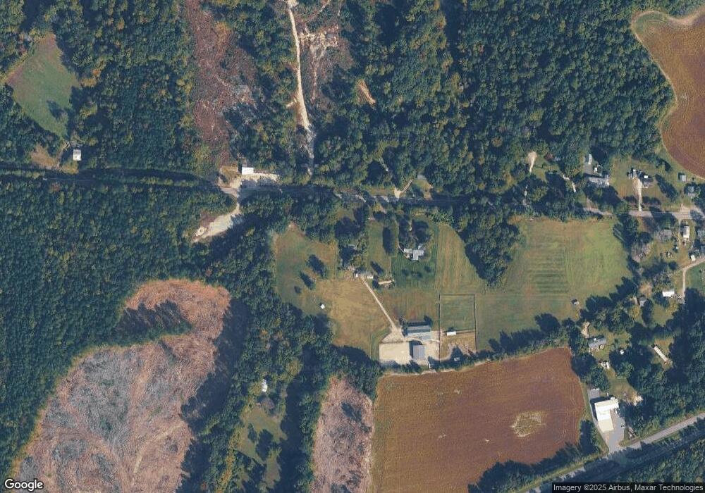
Map
Nearby Homes
- 15830 New Kent Hwy
- 00 Old Camp Rd
- 8310 Elysium Dr
- 8544 Elysium Dr
- Lot 35D Mount Nebo Rd
- 0 Good Hope Rd Unit 2500176
- 0 Good Hope Rd Unit 2501743
- TBD Squirrel Hollow Ln
- 001 Homestead Rd
- 002 Homestead Rd
- 17151 Wedgewood Ct
- 8325 Mill Creek Rd Unit A
- 19041 Eltham Rd
- 18437 New Kent Hwy Unit A
- Lot 6 Walsingham Way
- Lot 7 Walsingham Way
- 18440 New Kent Hwy
- 18311 Barham Woods Dr
- TBD Clarke Rd
- Lot 52G Georgia Ave
- 16305 New Kent Hwy
- 16250 New Kent Hwy
- 16320 New Kent Hwy
- 16220 New Kent Hwy Unit A
- 16222 New Kent Hwy
- 16305 Rocky Rd
- 16420 New Kent Hwy Unit C
- 16400 New Kent Hwy
- 16500 New Kent Hwy Unit B
- 16415 Rocky Rd
- 16427 Rocky Rd
- 16501 Rocky Rd Unit I
- 16110 New Kent Hwy
- 16440 Eltham Rd
- 16510 New Kent Hwy Unit A
- 16429 Rocky Rd
- 16519 New Kent Hwy
- 16516 New Kent Hwy
- 16511 Rocky Rd
- 16521 New Kent Hwy Unit B