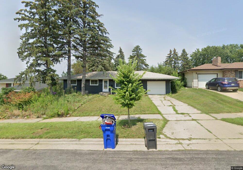
1637 Wilson Ave Saint Paul, MN 55106
Battle Creek NeighborhoodEstimated Value: $223,000 - $276,000
3
Beds
1
Bath
830
Sq Ft
$296/Sq Ft
Est. Value
About This Home
This home is located at 1637 Wilson Ave, Saint Paul, MN 55106 and is currently estimated at $245,673, approximately $295 per square foot. 1637 Wilson Ave is a home located in Ramsey County with nearby schools including Battle Creek Elementary School, Battle Creek Middle School, and Harding Senior High School.
Ownership History
Date
Name
Owned For
Owner Type
Purchase Details
Closed on
Jul 30, 2021
Sold by
Fry Darlene
Bought by
Hughes Darrall Ryan and Hughes Kiarra
Current Estimated Value
Home Financials for this Owner
Home Financials are based on the most recent Mortgage that was taken out on this home.
Original Mortgage
$184,103
Outstanding Balance
$167,656
Interest Rate
3%
Mortgage Type
FHA
Estimated Equity
$78,017
Create a Home Valuation Report for This Property
The Home Valuation Report is an in-depth analysis detailing your home's value as well as a comparison with similar homes in the area
Home Values in the Area
Average Home Value in this Area
Purchase History
| Date | Buyer | Sale Price | Title Company |
|---|---|---|---|
| Hughes Darrall Ryan | $187,500 | Titlesmart Inc | |
| Hughes Darrail Darrail | $187,500 | -- |
Source: Public Records
Mortgage History
| Date | Status | Borrower | Loan Amount |
|---|---|---|---|
| Open | Hughes Darrall Ryan | $184,103 | |
| Closed | Hughes Darrail Darrail | $187,500 |
Source: Public Records
Tax History Compared to Growth
Tax History
| Year | Tax Paid | Tax Assessment Tax Assessment Total Assessment is a certain percentage of the fair market value that is determined by local assessors to be the total taxable value of land and additions on the property. | Land | Improvement |
|---|---|---|---|---|
| 2025 | $3,434 | $236,400 | $58,900 | $177,500 |
| 2023 | $3,434 | $224,400 | $36,600 | $187,800 |
| 2022 | $3,004 | $227,600 | $36,600 | $191,000 |
| 2021 | $2,772 | $193,200 | $36,600 | $156,600 |
| 2020 | $2,284 | $181,100 | $36,600 | $144,500 |
| 2019 | $2,184 | $153,300 | $36,600 | $116,700 |
| 2018 | $2,072 | $145,600 | $36,600 | $109,000 |
| 2017 | $2,246 | $143,300 | $36,600 | $106,700 |
| 2016 | $1,916 | $0 | $0 | $0 |
| 2015 | $1,848 | $120,100 | $36,600 | $83,500 |
| 2014 | $1,484 | $0 | $0 | $0 |
Source: Public Records
Map
Nearby Homes
- 1600 Old Hudson Rd
- 1538 Wilson Ave
- 1685 Fremont Ave
- 1821 Wilson Ave
- 267 Hazelwood St
- 1450 Fremont Ave
- 1443 Pacific St
- 237 Sigurd St
- 1551 Margaret St
- 1751 Margaret St
- 1489 6th St E
- 201 Dora Ct W
- 1493 Margaret St
- 1590 Minnehaha Ave E
- 1675 Minnehaha Ave E
- 1683 Minnehaha Ave E
- 1351 3rd St E
- 1935 Fremont Ave E
- 1333 Pacific St
- 1320 Wilson Ave
- 1635 Wilson Ave
- 1643 Wilson Ave
- 1631 Wilson Ave
- 1649 Wilson Ave
- 1649 1649 Wilson-Avenue-
- 1636 Euclid St
- 1636 1636 Euclid-Street-
- 1630 Euclid St
- 1642 Euclid St
- 1624 Euclid St
- 1648 Euclid St
- 1620 Euclid St
- 1638 Wilson Ave
- 1655 Wilson Ave
- 1627 Wilson Ave
- 1644 Wilson Ave
- 1628 Wilson Ave
- 1650 Wilson Ave
- 1656 Euclid St
- 1616 Euclid St