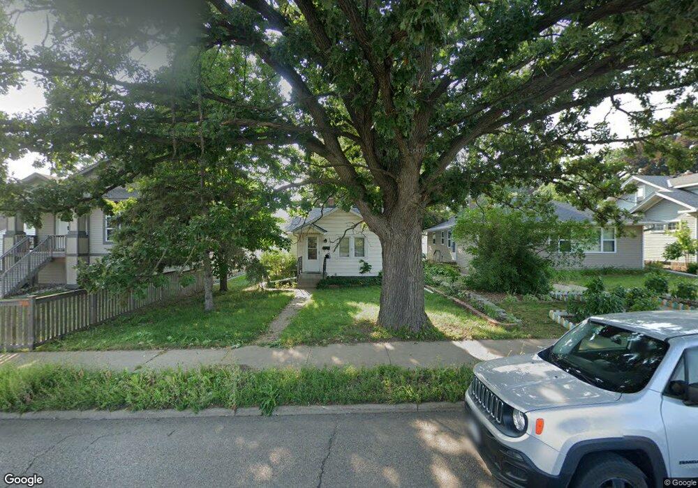
1639 Dale St N Saint Paul, MN 55117
Como Park NeighborhoodEstimated Value: $228,000 - $238,000
2
Beds
1
Bath
712
Sq Ft
$325/Sq Ft
Est. Value
About This Home
This home is located at 1639 Dale St N, Saint Paul, MN 55117 and is currently estimated at $231,481, approximately $325 per square foot. 1639 Dale St N is a home located in Ramsey County with nearby schools including Chelsea Heights Elementary, Murray Middle School, and Como Park Senior High School.
Ownership History
Date
Name
Owned For
Owner Type
Purchase Details
Closed on
Sep 28, 2015
Sold by
Martinson Jeffrey Jeffrey
Bought by
Mclaughlin Morgan Morgan
Current Estimated Value
Home Financials for this Owner
Home Financials are based on the most recent Mortgage that was taken out on this home.
Original Mortgage
$98,000
Outstanding Balance
$77,053
Interest Rate
3.86%
Estimated Equity
$154,428
Create a Home Valuation Report for This Property
The Home Valuation Report is an in-depth analysis detailing your home's value as well as a comparison with similar homes in the area
Home Values in the Area
Average Home Value in this Area
Purchase History
| Date | Buyer | Sale Price | Title Company |
|---|---|---|---|
| Mclaughlin Morgan Morgan | $98,000 | -- |
Source: Public Records
Mortgage History
| Date | Status | Borrower | Loan Amount |
|---|---|---|---|
| Open | Mclaughlin Morgan Morgan | $98,000 |
Source: Public Records
Tax History Compared to Growth
Tax History
| Year | Tax Paid | Tax Assessment Tax Assessment Total Assessment is a certain percentage of the fair market value that is determined by local assessors to be the total taxable value of land and additions on the property. | Land | Improvement |
|---|---|---|---|---|
| 2025 | $2,982 | $226,000 | $51,000 | $175,000 |
| 2023 | $2,982 | $203,800 | $51,000 | $152,800 |
| 2022 | $2,700 | $213,400 | $51,000 | $162,400 |
| 2021 | $2,478 | $182,000 | $51,000 | $131,000 |
| 2020 | $2,270 | $168,100 | $51,000 | $117,100 |
| 2019 | $2,210 | $152,800 | $46,800 | $106,000 |
| 2018 | $1,856 | $147,600 | $46,800 | $100,800 |
| 2017 | $1,442 | $131,900 | $33,500 | $98,400 |
| 2016 | $1,514 | $0 | $0 | $0 |
| 2015 | $1,866 | $97,200 | $33,500 | $63,700 |
| 2014 | $1,872 | $0 | $0 | $0 |
Source: Public Records
Map
Nearby Homes
- 1539 Dale St N
- 796 Larpenteur Ave W
- 1464 Maywood St
- 1600 Arundel St Unit 204
- 1457 Arundel St
- 1801 Western Ave N
- 373 Nebraska Ave W
- 1342 Dale St N
- 408 Arlington Ave W
- 420 McCarrons Blvd S
- 397 Cottage Ave W Unit 3
- 254 Idaho Ave W
- 707 Shryer Ave W
- tbd MacKubin St
- 700 Skillman Ave W
- 708 Skillman Ave W
- 1241 Maywood St
- 230 McCarrons Place
- 664 Belmont Ln W
- 229 McCarrons Place
- 1639 1639 Dale St N
- 1635 Dale St N
- 1645 Dale St N
- 1631 Dale St N
- 1649 Dale St N
- 1627 Dale St N
- 1640 Maywood St
- 1636 Maywood St
- 1644 Maywood St
- 1623 Dale St N
- 1623 1623 Dale St N
- 1632 Maywood St
- 1648 Maywood St
- 1623 1623 Dale-Street-n
- 1628 Maywood St
- 1628 1628 Maywood-Street-
- 1619 Dale St N
- 1619 1619 Dale-Street-n
- 1624 Maywood St
- 637 California Ave W