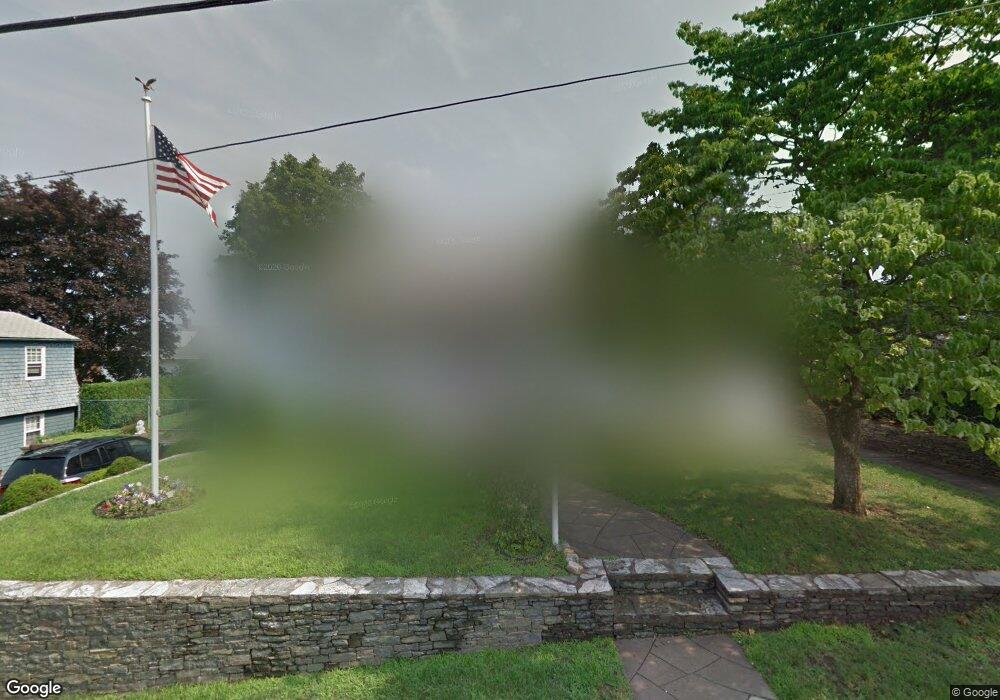
165 Dunedin St Cranston, RI 02920
Laurel Hill NeighborhoodEstimated Value: $384,000 - $436,000
3
Beds
3
Baths
1,366
Sq Ft
$299/Sq Ft
Est. Value
About This Home
This home is located at 165 Dunedin St, Cranston, RI 02920 and is currently estimated at $408,117, approximately $298 per square foot. 165 Dunedin St is a home located in Providence County with nearby schools including Hugh B. Bain Middle School, Cranston High School East, and Achievement First Iluminar Mayoral Academy.
Ownership History
Date
Name
Owned For
Owner Type
Purchase Details
Closed on
Dec 11, 2012
Sold by
Manda Panda Partners L
Bought by
Frederick Carol M and Frederick Michael A
Current Estimated Value
Purchase Details
Closed on
Aug 11, 2011
Sold by
Frederick Carol M and Frederick Michael A
Bought by
Manda Panda Partners L
Create a Home Valuation Report for This Property
The Home Valuation Report is an in-depth analysis detailing your home's value as well as a comparison with similar homes in the area
Home Values in the Area
Average Home Value in this Area
Purchase History
| Date | Buyer | Sale Price | Title Company |
|---|---|---|---|
| Frederick Carol M | -- | -- | |
| Manda Panda Partners L | $6,332 | -- |
Source: Public Records
Mortgage History
| Date | Status | Borrower | Loan Amount |
|---|---|---|---|
| Previous Owner | Manda Panda Partners L | $100,000 |
Source: Public Records
Tax History Compared to Growth
Tax History
| Year | Tax Paid | Tax Assessment Tax Assessment Total Assessment is a certain percentage of the fair market value that is determined by local assessors to be the total taxable value of land and additions on the property. | Land | Improvement |
|---|---|---|---|---|
| 2025 | $4,256 | $306,600 | $89,700 | $216,900 |
| 2024 | $4,173 | $306,600 | $89,700 | $216,900 |
| 2023 | $4,215 | $223,000 | $61,900 | $161,100 |
| 2022 | $4,128 | $223,000 | $61,900 | $161,100 |
| 2021 | $4,014 | $223,000 | $61,900 | $161,100 |
| 2020 | $3,572 | $172,000 | $48,100 | $123,900 |
| 2019 | $3,572 | $172,000 | $48,100 | $123,900 |
| 2018 | $3,490 | $172,000 | $48,100 | $123,900 |
| 2017 | $3,303 | $144,000 | $37,800 | $106,200 |
| 2016 | $3,233 | $144,000 | $37,800 | $106,200 |
| 2015 | $3,233 | $144,000 | $37,800 | $106,200 |
| 2014 | $2,787 | $137,700 | $37,800 | $99,900 |
Source: Public Records
Map
Nearby Homes
- 32 Maplewood Ave
- 147 Wales St
- 87 Dunedin St
- 443 Dyer Ave
- 127 Gladstone St
- 26 Alto St
- 318 Princess Ave
- 161 Prudence Ave
- 140 Lawrence St Unit 142
- 27 What Cheer Ave
- 121 Heather St
- 17 What Cheer Ave
- 454 Union Ave
- 95 Elwyn St
- 355 Laurel Hill Ave
- 372 Farmington Ave
- 36 Moorefield St Unit 38
- 27 Moorefield St
- 0 Princess Ave
- 14 Shafter St
- 175 Dunedin St
- 398 Princess Ave
- 408 Princess Ave
- 270 Heather St
- 168 Dunedin St
- 156 Dunedin St
- 183 Dunedin St
- 176 Dunedin St
- 278 Heather St
- 257 Heather St
- 171 Bracken St
- 265 Heather St
- 418 Princess Ave
- 384 Princess Ave
- 191 Dunedin St
- 420 Princess Ave
- 177 Bracken St
- 188 Dunedin St
- 244 Heather St
- 397 Princess Ave