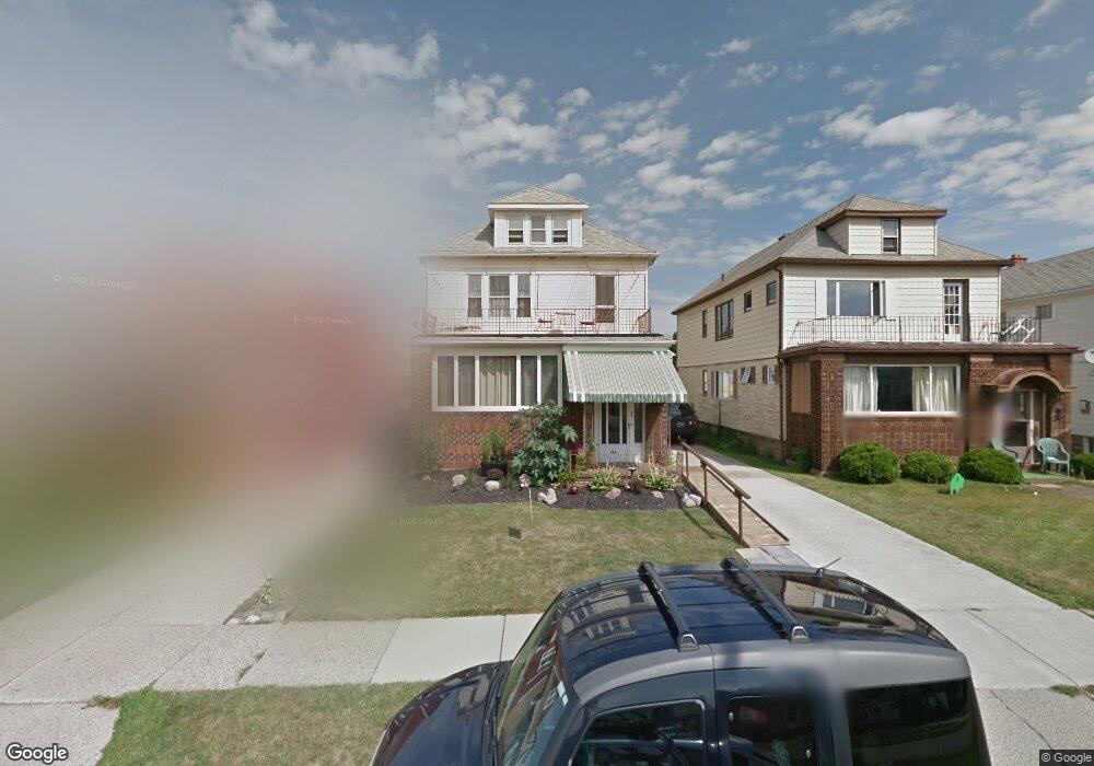
166 Culver Rd Buffalo, NY 14220
South Park NeighborhoodEstimated Value: $263,000 - $301,000
6
Beds
2
Baths
2,312
Sq Ft
$123/Sq Ft
Est. Value
About This Home
This home is located at 166 Culver Rd, Buffalo, NY 14220 and is currently estimated at $283,864, approximately $122 per square foot. 166 Culver Rd is a home located in Erie County with nearby schools including Western New York Maritime Charter School, Our Lady Of Victory, and Bishop Timon-St. Jude High School.
Ownership History
Date
Name
Owned For
Owner Type
Purchase Details
Closed on
Oct 17, 2017
Sold by
Platek Michael P
Bought by
Platek Michael P and Platek Kathleen A Ross
Current Estimated Value
Purchase Details
Closed on
Sep 21, 2004
Sold by
Songin Margaret A and Songin Helen J
Bought by
Platek Michael P
Home Financials for this Owner
Home Financials are based on the most recent Mortgage that was taken out on this home.
Original Mortgage
$76,396
Outstanding Balance
$37,874
Interest Rate
5.89%
Mortgage Type
FHA
Estimated Equity
$245,990
Create a Home Valuation Report for This Property
The Home Valuation Report is an in-depth analysis detailing your home's value as well as a comparison with similar homes in the area
Home Values in the Area
Average Home Value in this Area
Purchase History
| Date | Buyer | Sale Price | Title Company |
|---|---|---|---|
| Platek Michael P | -- | None Available | |
| Platek Michael P | $38,500 | -- |
Source: Public Records
Mortgage History
| Date | Status | Borrower | Loan Amount |
|---|---|---|---|
| Open | Platek Michael P | $76,396 |
Source: Public Records
Tax History
| Year | Tax Paid | Tax Assessment Tax Assessment Total Assessment is a certain percentage of the fair market value that is determined by local assessors to be the total taxable value of land and additions on the property. | Land | Improvement |
|---|---|---|---|---|
| 2024 | $539 | $127,000 | $10,700 | $116,300 |
| 2023 | $483 | $127,000 | $10,700 | $116,300 |
| 2022 | $505 | $127,000 | $10,700 | $116,300 |
| 2021 | $505 | $127,000 | $10,700 | $116,300 |
| 2020 | $456 | $127,000 | $10,700 | $116,300 |
| 2019 | $2,167 | $79,000 | $6,600 | $72,400 |
| 2018 | $1,895 | $79,000 | $6,600 | $72,400 |
| 2017 | $352 | $79,000 | $6,600 | $72,400 |
| 2016 | $1,302 | $79,000 | $6,600 | $72,400 |
| 2015 | -- | $79,000 | $6,600 | $72,400 |
| 2014 | -- | $79,000 | $6,600 | $72,400 |
Source: Public Records
Map
Nearby Homes
- 166 Ridgewood Rd
- 111 Harding Rd
- 548 Marilla St
- 95 Sheffield Ave
- 104 Eden St
- 66 Woodside Ave
- 106 Cantwell Dr
- 91 Hollywood Ave
- 77 Cantwell Dr
- 53 Choate Ave
- 66 Choate Ave
- 2267 S Park Ave Unit 2
- 70 Mckinley Pkwy
- 189 W Woodside Ave
- 2332 S Park Ave
- 51 Ashton Place
- 53 Richfield Ave
- 28 Bloomfield Ave
- 32 Lorraine Ave
- 814 Abbott Rd
Your Personal Tour Guide
Ask me questions while you tour the home.