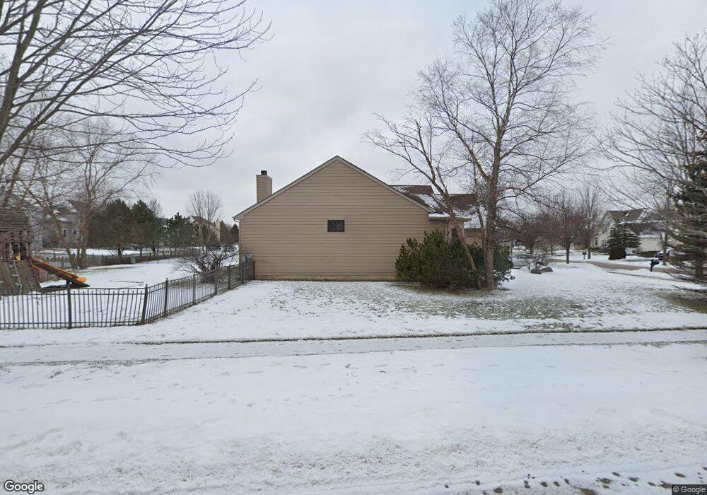
1671 Cambria Ln Algonquin, IL 60102
Estimated Value: $397,563 - $539,000
3
Beds
--
Bath
1,956
Sq Ft
$237/Sq Ft
Est. Value
About This Home
This home is located at 1671 Cambria Ln, Algonquin, IL 60102 and is currently estimated at $462,641, approximately $236 per square foot. 1671 Cambria Ln is a home located in Kane County with nearby schools including Liberty Elementary School, Dundee Middle School, and Harry D Jacobs High School.
Ownership History
Date
Name
Owned For
Owner Type
Purchase Details
Closed on
Sep 23, 1998
Sold by
Brittany Hills Lp
Bought by
Renucci Mairo D and Renucci Christi L
Current Estimated Value
Home Financials for this Owner
Home Financials are based on the most recent Mortgage that was taken out on this home.
Original Mortgage
$180,000
Outstanding Balance
$38,751
Interest Rate
6.99%
Estimated Equity
$423,890
Create a Home Valuation Report for This Property
The Home Valuation Report is an in-depth analysis detailing your home's value as well as a comparison with similar homes in the area
Purchase History
| Date | Buyer | Sale Price | Title Company |
|---|---|---|---|
| Renucci Mairo D | $251,000 | Chicago Title Insurance Co |
Source: Public Records
Mortgage History
| Date | Status | Borrower | Loan Amount |
|---|---|---|---|
| Open | Renucci Mairo D | $180,000 |
Source: Public Records
Tax History
| Year | Tax Paid | Tax Assessment Tax Assessment Total Assessment is a certain percentage of the fair market value that is determined by local assessors to be the total taxable value of land and additions on the property. | Land | Improvement |
|---|---|---|---|---|
| 2024 | $8,879 | $125,238 | $27,254 | $97,984 |
| 2023 | $8,423 | $112,685 | $24,522 | $88,163 |
| 2022 | $7,453 | $96,471 | $24,522 | $71,949 |
| 2021 | $7,222 | $91,088 | $23,154 | $67,934 |
| 2020 | $7,074 | $89,040 | $22,633 | $66,407 |
| 2019 | $6,851 | $84,527 | $21,486 | $63,041 |
| 2018 | $6,852 | $82,375 | $21,061 | $61,314 |
| 2017 | $6,559 | $77,058 | $19,702 | $57,356 |
| 2016 | $6,716 | $74,610 | $19,076 | $55,534 |
| 2015 | -- | $71,078 | $25,698 | $45,380 |
| 2014 | -- | $69,115 | $24,988 | $44,127 |
| 2013 | -- | $71,231 | $25,753 | $45,478 |
Source: Public Records
Map
Nearby Homes
- 2313 Barrett Dr
- 1540 Westbourne Pkwy
- 1530 Westbourne Pkwy
- 1460 Lancaster Ln
- 2224 Barrett Dr
- 1201 Waterford St
- 1211 Waterford St
- 1231 Waterford St
- 1121 Waterford St
- 1101 Waterford St
- 2030 Cosman Way
- 120 Newburgh Ln
- 2040 Cosman Way
- 2050 Cosman Way
- 150 Newburgh Ln
- 18N741 Westhill Rd
- 2060 Cosman Way
- 1000 Glenmont St
- 2070 Cosman Way
- 350 Coldsprings St
- 1681 Cambria Ln Unit 1
- 1660 Highmeadow Ln Unit 2
- 1661 Cambria Ln
- 1691 Cambria Ln
- 1670 Highmeadow Ln
- 1650 Highmeadow Ln
- 1680 Highmeadow Ln
- 1680 Cambria Ln
- 1670 Cambria Ln Unit 1
- 1690 Cambria Ln
- 1651 Cambria Ln
- 1701 Cambria Ln
- 1640 Highmeadow Ln Unit 2
- 1660 Cambria Ln
- 1700 Cambria Ln Unit 1
- 1641 Cambria Ln
- 1650 Cambria Ln
- 1711 Cambria Ln Unit 1
- 1651 Highmeadow Ln Unit 2
- 1630 Highmeadow Ln
Your Personal Tour Guide
Ask me questions while you tour the home.