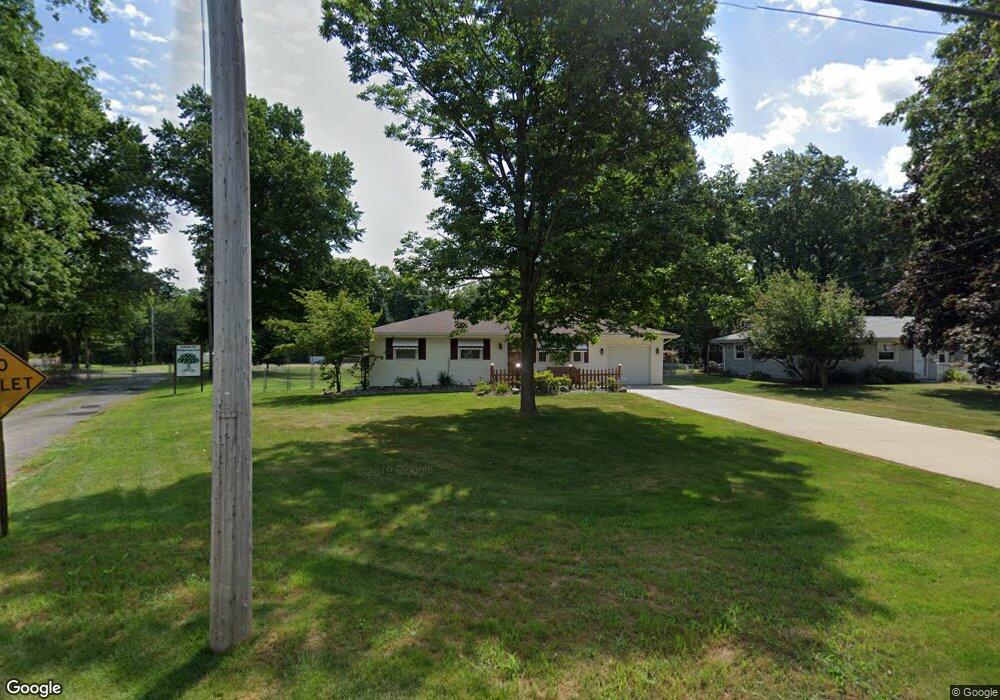
1673 Lancaster Dr Youngstown, OH 44511
Austintown NeighborhoodEstimated Value: $151,000 - $171,000
3
Beds
1
Bath
988
Sq Ft
$164/Sq Ft
Est. Value
About This Home
This home is located at 1673 Lancaster Dr, Youngstown, OH 44511 and is currently estimated at $162,058, approximately $164 per square foot. 1673 Lancaster Dr is a home located in Mahoning County with nearby schools including Austintown Elementary School, Austintown Intermediate School, and Austintown Middle School.
Ownership History
Date
Name
Owned For
Owner Type
Purchase Details
Closed on
Apr 5, 1971
Bought by
Hudack Allan A and Hudack Mary K
Current Estimated Value
Create a Home Valuation Report for This Property
The Home Valuation Report is an in-depth analysis detailing your home's value as well as a comparison with similar homes in the area
Home Values in the Area
Average Home Value in this Area
Purchase History
| Date | Buyer | Sale Price | Title Company |
|---|---|---|---|
| Hudack Allan A | -- | -- |
Source: Public Records
Tax History Compared to Growth
Tax History
| Year | Tax Paid | Tax Assessment Tax Assessment Total Assessment is a certain percentage of the fair market value that is determined by local assessors to be the total taxable value of land and additions on the property. | Land | Improvement |
|---|---|---|---|---|
| 2024 | $1,489 | $41,940 | $8,380 | $33,560 |
| 2023 | $1,490 | $41,940 | $8,380 | $33,560 |
| 2022 | $992 | $26,190 | $7,180 | $19,010 |
| 2021 | $994 | $26,190 | $7,180 | $19,010 |
| 2020 | $997 | $26,190 | $7,180 | $19,010 |
| 2019 | $931 | $23,380 | $6,410 | $16,970 |
| 2018 | $896 | $23,380 | $6,410 | $16,970 |
| 2017 | $945 | $23,380 | $6,410 | $16,970 |
| 2016 | $1,006 | $25,270 | $6,710 | $18,560 |
| 2015 | $976 | $25,270 | $6,710 | $18,560 |
| 2014 | $980 | $25,270 | $6,710 | $18,560 |
| 2013 | $969 | $25,270 | $6,710 | $18,560 |
Source: Public Records
Map
Nearby Homes
- 4235 Patricia Ave
- 4241 Wedgewood Dr
- 3890 Ayrshire Dr
- 3913 Claridge Dr
- 3852 Edinburgh Dr
- 4289 Wedgewood Dr
- 2430 Redgate Ln
- 4262 Pembrook Rd
- 4102 Burkey Rd
- 2699 Hamman Dr
- 4234 Burkey Rd
- 40 Woodleigh Ct
- 3972 Artmar Dr
- 1560 S Meridian Rd
- 532 Westgate Blvd
- 2414 Ardenwood Place
- 2493 Frostwood Dr
- 2108 Cranbrook Dr
- 3210 Quentin Dr
- 3300 Briarwood Ln
- 1679 Lancaster Dr
- 1667 Lancaster Dr
- 1685 Lancaster Dr
- 1678 Lancaster Dr
- 1672 Lancaster Dr
- 1661 Lancaster Dr
- 1703 Lancaster Dr
- 1684 Lancaster Dr
- 1666 Lancaster Dr
- 1660 Lancaster Dr
- 1709 Lancaster Dr
- 1655 Lancaster Dr
- 4216 Carlisle Ave
- 4209 Patricia Ave
- 1708 Lancaster Dr
- 1715 Lancaster Dr
- 1649 Lancaster Dr
- 4215 Patricia Ave
- 4202 Patricia Ave
- 4222 Carlisle Ave