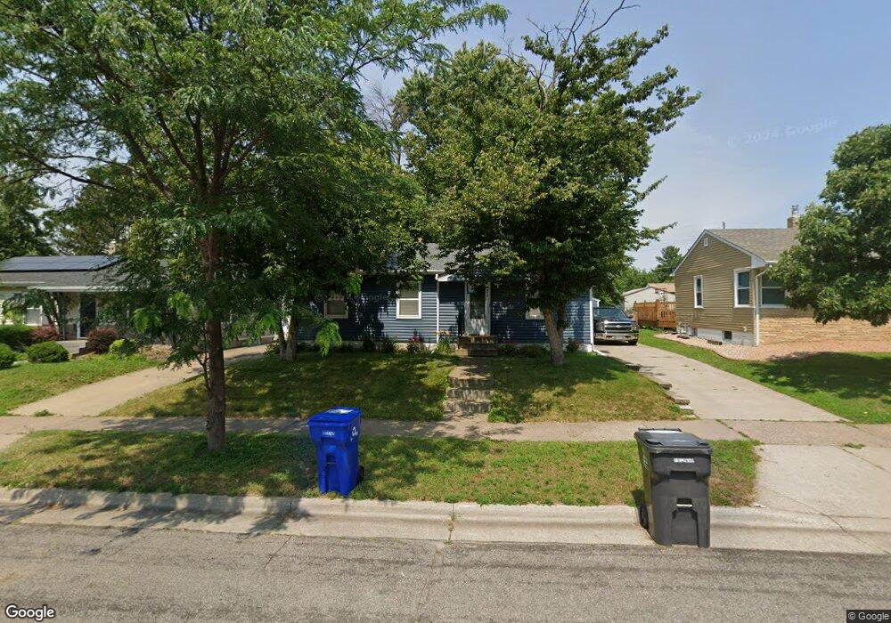
1675 Wilson Ave Saint Paul, MN 55106
Battle Creek NeighborhoodEstimated Value: $250,000 - $315,000
3
Beds
2
Baths
1,688
Sq Ft
$168/Sq Ft
Est. Value
About This Home
This home is located at 1675 Wilson Ave, Saint Paul, MN 55106 and is currently estimated at $284,358, approximately $168 per square foot. 1675 Wilson Ave is a home located in Ramsey County with nearby schools including Battle Creek Elementary School, Battle Creek Middle School, and Harding Senior High School.
Ownership History
Date
Name
Owned For
Owner Type
Purchase Details
Closed on
Dec 10, 2025
Sold by
Vang Xang
Bought by
Vu Donna
Current Estimated Value
Home Financials for this Owner
Home Financials are based on the most recent Mortgage that was taken out on this home.
Original Mortgage
$245,471
Outstanding Balance
$245,471
Interest Rate
6.22%
Mortgage Type
FHA
Estimated Equity
$38,887
Purchase Details
Closed on
Nov 10, 2014
Sold by
Carion Brian and Carion Leslie
Bought by
Vang Xang
Home Financials for this Owner
Home Financials are based on the most recent Mortgage that was taken out on this home.
Original Mortgage
$161,912
Interest Rate
3.5%
Mortgage Type
FHA
Create a Home Valuation Report for This Property
The Home Valuation Report is an in-depth analysis detailing your home's value as well as a comparison with similar homes in the area
Home Values in the Area
Average Home Value in this Area
Purchase History
| Date | Buyer | Sale Price | Title Company |
|---|---|---|---|
| Vu Donna | $250,000 | Servion Title | |
| Vang Xang | $169,896 | Realstar Title |
Source: Public Records
Mortgage History
| Date | Status | Borrower | Loan Amount |
|---|---|---|---|
| Open | Vu Donna | $245,471 | |
| Previous Owner | Vang Xang | $161,912 |
Source: Public Records
Tax History
| Year | Tax Paid | Tax Assessment Tax Assessment Total Assessment is a certain percentage of the fair market value that is determined by local assessors to be the total taxable value of land and additions on the property. | Land | Improvement |
|---|---|---|---|---|
| 2025 | $4,294 | $296,400 | $49,300 | $247,100 |
| 2023 | $4,294 | $277,300 | $30,700 | $246,600 |
| 2022 | $3,754 | $277,500 | $30,700 | $246,800 |
| 2021 | $3,278 | $242,900 | $30,700 | $212,200 |
| 2020 | $3,154 | $212,400 | $30,700 | $181,700 |
| 2019 | $3,442 | $201,800 | $30,700 | $171,100 |
| 2018 | $3,028 | $206,100 | $30,700 | $175,400 |
| 2017 | $2,724 | $190,200 | $30,700 | $159,500 |
| 2016 | $2,760 | $0 | $0 | $0 |
| 2015 | $1,974 | $164,800 | $30,700 | $134,100 |
| 2014 | $2,344 | $0 | $0 | $0 |
Source: Public Records
Map
Nearby Homes
- TBD Kennard St
- 442 White Bear Ave N
- 1685 Fremont Ave E
- 1610 Fremont Ave
- 1651 4th St E
- 1711 4th St E
- 1596 Mclean Ave
- 597 Flandrau St
- 1883 Garden Way
- 1641 Leone Ave
- 1885 3rd St E
- 531 Hazel St N
- 1660 Beech St
- 1704 Beech St
- 1715 Louise Ave
- 1935 Fremont Ave E
- 1708 Minnehaha Ave E
- 1497 Margaret St
- 309 Etna St
- 1373 5th St E
- 1679 Wilson Ave
- 1671 Wilson Ave
- 1683 Wilson Ave
- 1667 Wilson Ave
- 1676 Euclid St
- 1672 Euclid St
- 1682 Euclid St
- 1661 Wilson Ave
- 1687 Wilson Ave
- 1668 1668 Euclid-Street-
- 1668 Euclid St
- 1688 Euclid St
- 1688 1688 Euclid-Street-
- 1676 Wilson Ave
- 1672 Wilson Ave
- 1680 Wilson Ave
- 1690 Euclid St
- 1699 Wilson Ave
- 1699 1699 Wilson-Avenue-
- 1668 Wilson Ave
Your Personal Tour Guide
Ask me questions while you tour the home.