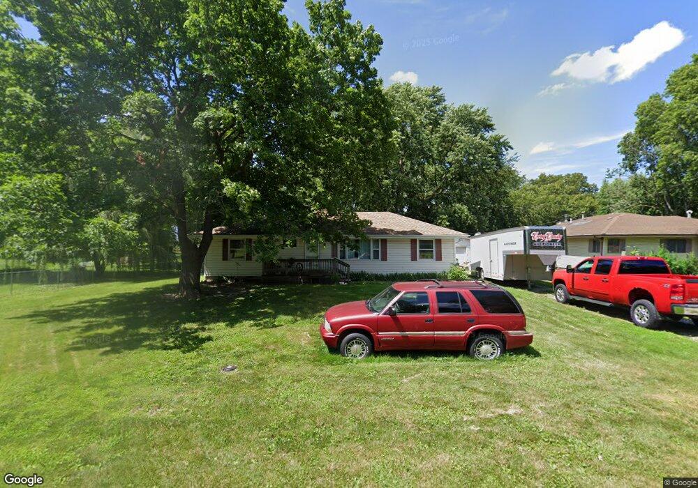
168 E Lockhart St Niantic, IL 62551
Estimated Value: $131,000 - $138,000
3
Beds
2
Baths
1,608
Sq Ft
$84/Sq Ft
Est. Value
About This Home
This home is located at 168 E Lockhart St, Niantic, IL 62551 and is currently estimated at $135,725, approximately $84 per square foot. 168 E Lockhart St is a home located in Macon County.
Ownership History
Date
Name
Owned For
Owner Type
Purchase Details
Closed on
May 11, 2016
Sold by
Raleigh Brian R and Raleigh Kristy
Bought by
Saulsbery Russell Leroy and Saulsbery Vicki G
Current Estimated Value
Home Financials for this Owner
Home Financials are based on the most recent Mortgage that was taken out on this home.
Original Mortgage
$88,683
Outstanding Balance
$70,413
Interest Rate
3.58%
Mortgage Type
New Conventional
Estimated Equity
$65,312
Purchase Details
Closed on
Oct 1, 2004
Create a Home Valuation Report for This Property
The Home Valuation Report is an in-depth analysis detailing your home's value as well as a comparison with similar homes in the area
Purchase History
| Date | Buyer | Sale Price | Title Company |
|---|---|---|---|
| Saulsbery Russell Leroy | $89,000 | Attorney | |
| -- | $82,000 | -- |
Source: Public Records
Mortgage History
| Date | Status | Borrower | Loan Amount |
|---|---|---|---|
| Open | Saulsbery Russell Leroy | $88,683 |
Source: Public Records
Tax History
| Year | Tax Paid | Tax Assessment Tax Assessment Total Assessment is a certain percentage of the fair market value that is determined by local assessors to be the total taxable value of land and additions on the property. | Land | Improvement |
|---|---|---|---|---|
| 2024 | $1,448 | $33,074 | $3,693 | $29,381 |
| 2023 | $1,659 | $30,885 | $3,571 | $27,314 |
| 2022 | $1,520 | $28,562 | $3,303 | $25,259 |
| 2021 | $1,444 | $27,129 | $3,137 | $23,992 |
| 2020 | $1,325 | $25,565 | $2,956 | $22,609 |
| 2019 | $1,325 | $25,565 | $2,956 | $22,609 |
| 2018 | $1,284 | $24,959 | $2,886 | $22,073 |
| 2017 | $1,310 | $25,064 | $2,898 | $22,166 |
| 2016 | $2,041 | $25,034 | $2,895 | $22,139 |
| 2015 | $2,255 | $24,305 | $2,811 | $21,494 |
| 2014 | $2,168 | $24,064 | $2,783 | $21,281 |
| 2013 | $2,422 | $24,064 | $2,783 | $21,281 |
Source: Public Records
Map
Nearby Homes
- 223 W Montgomery St
- 295 N Pritchett St
- 108 N Folly St
- 0 Bill Wall Dr
- 1359 S Bridge Rd
- 13505 W Long Point Rd
- 420 6th St
- 414 5th St
- 8090 W Wood St
- 113 Prairie Run
- 275 N Camp St
- 5595 W Main St
- 3335 Nevada Rd
- 6 W Westway Dr
- 212 S Anchor Rd
- 210 N Kiick St
- 1955 E 2700 North Rd
- 116 E Center St
- 1720 N Sunnyside Rd
- 1650 N Sunnyside Rd
- 150 E Lockhart St
- 150 W Lockhart St
- 410 N Broadway St
- 420 N Broadway St
- 124 W Lockhart St
- 159 Buckles Dr
- 175 Buckles Dr
- 145 Buckles Dr
- 191 Buckles Dr
- 185 W Lockhart St
- 161 W Lockhart St
- 102 W Lockhart St
- 145 W Lockhart St
- 127 Buckles Dr
- 385 N Main St
- 116 E Lockhart St
- 370 N Broadway St
- 107 Buckles Dr
- 164 Buckles Dr
- 148 Buckles Dr
Your Personal Tour Guide
Ask me questions while you tour the home.