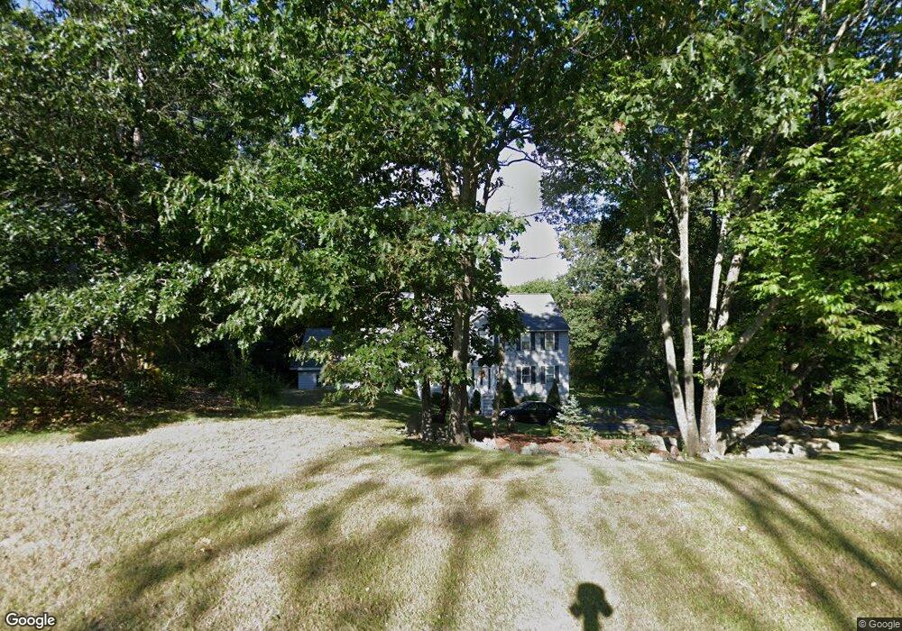
17 Clark Cir Pelham, NH 03076
Estimated Value: $770,000 - $929,000
5
Beds
4
Baths
3,100
Sq Ft
$272/Sq Ft
Est. Value
About This Home
This home is located at 17 Clark Cir, Pelham, NH 03076 and is currently estimated at $843,513, approximately $272 per square foot. 17 Clark Cir is a home located in Hillsborough County with nearby schools including Pelham Elementary School, Pelham Memorial School, and Pelham High School.
Ownership History
Date
Name
Owned For
Owner Type
Purchase Details
Closed on
Dec 1, 2011
Sold by
Fnma
Bought by
Marte Ana C
Current Estimated Value
Home Financials for this Owner
Home Financials are based on the most recent Mortgage that was taken out on this home.
Original Mortgage
$272,902
Outstanding Balance
$187,488
Interest Rate
4.1%
Mortgage Type
Purchase Money Mortgage
Estimated Equity
$656,025
Purchase Details
Closed on
Jan 26, 2011
Sold by
Mccutcheon Michael C and Fnma
Bought by
Federal National Mortgage Association
Create a Home Valuation Report for This Property
The Home Valuation Report is an in-depth analysis detailing your home's value as well as a comparison with similar homes in the area
Home Values in the Area
Average Home Value in this Area
Purchase History
| Date | Buyer | Sale Price | Title Company |
|---|---|---|---|
| Marte Ana C | $280,000 | -- | |
| Federal National Mortgage Association | $439,100 | -- |
Source: Public Records
Mortgage History
| Date | Status | Borrower | Loan Amount |
|---|---|---|---|
| Open | Federal National Mortgage Association | $272,902 | |
| Previous Owner | Federal National Mortgage Association | $392,000 | |
| Previous Owner | Federal National Mortgage Association | $67,000 |
Source: Public Records
Tax History Compared to Growth
Tax History
| Year | Tax Paid | Tax Assessment Tax Assessment Total Assessment is a certain percentage of the fair market value that is determined by local assessors to be the total taxable value of land and additions on the property. | Land | Improvement |
|---|---|---|---|---|
| 2024 | $11,545 | $629,500 | $161,800 | $467,700 |
| 2023 | $11,451 | $629,500 | $161,800 | $467,700 |
| 2022 | $10,966 | $629,500 | $161,800 | $467,700 |
| 2021 | $10,047 | $629,500 | $161,800 | $467,700 |
| 2020 | $8,947 | $442,900 | $129,600 | $313,300 |
| 2019 | $8,592 | $442,900 | $129,600 | $313,300 |
| 2018 | $8,423 | $392,500 | $129,600 | $262,900 |
| 2017 | $8,419 | $392,500 | $129,600 | $262,900 |
| 2016 | $8,223 | $392,500 | $129,600 | $262,900 |
| 2015 | $7,962 | $342,300 | $123,100 | $219,200 |
| 2014 | $7,828 | $342,300 | $123,100 | $219,200 |
| 2013 | $7,828 | $342,300 | $123,100 | $219,200 |
Source: Public Records
Map
Nearby Homes
- 50 Dutton Rd
- 10 Dutton Rd
- 1 Currier Rd
- 71 Deer Hill Cir
- 59 Thistlewood Dr Unit 47
- 2 S Shore Dr
- 34 Frontier Dr
- 4 Haystack Cir
- 63 Marsh Rd
- 4 Melody Ln
- 2 Iris Ave
- 5 Stephanie Dr
- 45 Hobbs Rd
- Lot 4 Canterbury Rd Unit 4
- 27 Wellesley Dr
- 1 Redwood Rd
- 436 Mammoth Rd
- 446 Mammoth Rd
- 508 Mammoth Rd
- 290 Mammoth Rd