17 Kane Ln Unit 12 Edgartown, MA 02539
Edgartown NeighborhoodEstimated Value: $1,321,550 - $2,175,000
3
Beds
4
Baths
1,836
Sq Ft
$967/Sq Ft
Est. Value
About This Home
This home is located at 17 Kane Ln Unit 12, Edgartown, MA 02539 and is currently estimated at $1,775,638, approximately $967 per square foot. 17 Kane Ln Unit 12 is a home located in Dukes County with nearby schools including Edgartown Elementary School and Martha's Vineyard Regional High School.
Ownership History
Date
Name
Owned For
Owner Type
Purchase Details
Closed on
Mar 16, 2006
Sold by
Johnson Theodore G
Bought by
Turdean Eugen N and Borsy Kristina A
Current Estimated Value
Home Financials for this Owner
Home Financials are based on the most recent Mortgage that was taken out on this home.
Original Mortgage
$400,000
Outstanding Balance
$227,397
Interest Rate
6.27%
Mortgage Type
Purchase Money Mortgage
Estimated Equity
$1,548,241
Create a Home Valuation Report for This Property
The Home Valuation Report is an in-depth analysis detailing your home's value as well as a comparison with similar homes in the area
Home Values in the Area
Average Home Value in this Area
Purchase History
| Date | Buyer | Sale Price | Title Company |
|---|---|---|---|
| Turdean Eugen N | $800,000 | -- |
Source: Public Records
Mortgage History
| Date | Status | Borrower | Loan Amount |
|---|---|---|---|
| Open | Turdean Eugen N | $400,000 |
Source: Public Records
Tax History Compared to Growth
Tax History
| Year | Tax Paid | Tax Assessment Tax Assessment Total Assessment is a certain percentage of the fair market value that is determined by local assessors to be the total taxable value of land and additions on the property. | Land | Improvement |
|---|---|---|---|---|
| 2025 | $2,513 | $948,300 | $0 | $948,300 |
| 2024 | $2,418 | $948,300 | $0 | $948,300 |
| 2023 | $2,390 | $948,300 | $0 | $948,300 |
| 2022 | $3,151 | $1,039,800 | $0 | $1,039,800 |
| 2021 | $3,411 | $1,039,800 | $0 | $1,039,800 |
| 2020 | $3,483 | $1,039,800 | $0 | $1,039,800 |
| 2019 | $4,024 | $1,039,800 | $0 | $1,039,800 |
| 2018 | $4,024 | $1,039,800 | $0 | $1,039,800 |
| 2017 | $3,514 | $989,800 | $0 | $989,800 |
| 2016 | $3,414 | $943,000 | $0 | $943,000 |
| 2015 | $3,272 | $943,000 | $0 | $943,000 |
Source: Public Records
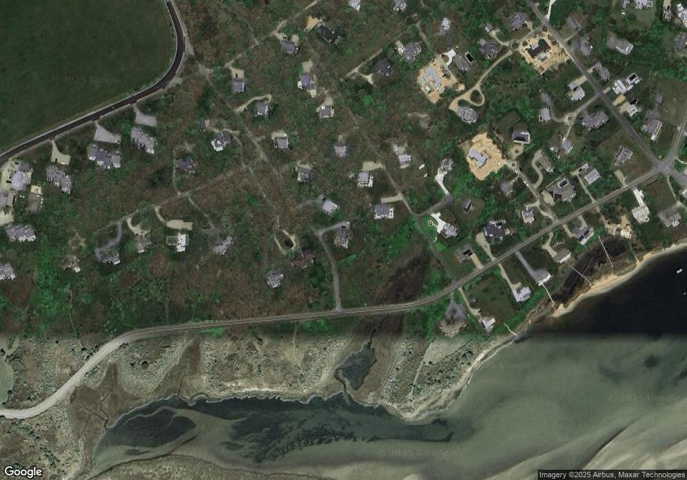
Map
Nearby Homes
- 24 Katama Bay View Rd
- 5 Atlantic Dr Unit 5.2
- 19 Katama Dr
- 25 Lelands Path
- 1 Field Club Dr
- 2 Farmers Rd
- 3 Somerset Ln
- 23 Thaxter Ln
- 4 Somerset Ln
- 7 Martha's Way
- 8 Old Dunhams Corner Way
- 39 Slough Cove Rd Unit 12.2 (part of)
- 39 Slough Cove Rd
- 16 Schoolhouse Rd
- 31 Butlers Cove Rd
- 12 Duarte Cir
- 11A Duarte Cir
- 42 Road To the Plains
- 8 Court St
- 58 Road To the Plains
- 17 Kane Ln Unit 11
- 15 Kane Ln Unit 10
- 15 Kane Ln Unit 9
- 11 Kane Ln Unit K7
- 11 Kane Ln Unit 7
- 11 Kane Ln Unit 8
- 11 Kane Ln
- 10 Smugglers Way #Sb1
- 9 Kane Ln Unit 6
- 9 Kane Ln Unit 5
- 10 Smugglers Way
- 10 Smugglers Way Unit SB 1
- 8 Mattakeset Bay Rd Unit B
- 8 Mattakeset Bay Rd Unit A
- 8 Mattakesett Bay Rd Unit M5
- 8 Mattakesett Bay Rd
- 7 Smugglers Way
- 16 Mattakeset Bay Rd Unit A
- 16 Mattakeset Bay Rd Unit B
- 5 Kane Ln Unit 3