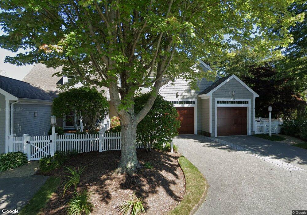
17 Northwest Landing Unit 17 Mashpee, MA 02649
New Seabury-Popponesset Island NeighborhoodEstimated Value: $670,000 - $981,000
2
Beds
3
Baths
1,414
Sq Ft
$587/Sq Ft
Est. Value
About This Home
This home is located at 17 Northwest Landing Unit 17, Mashpee, MA 02649 and is currently estimated at $830,078, approximately $587 per square foot. 17 Northwest Landing Unit 17 is a home located in Barnstable County with nearby schools including Kenneth C. Coombs School, Quashnet School, and Mashpee Middle School.
Ownership History
Date
Name
Owned For
Owner Type
Purchase Details
Closed on
Jan 18, 2007
Sold by
Cambridge Street Rt
Bought by
Gabriel Jeffrey M
Current Estimated Value
Home Financials for this Owner
Home Financials are based on the most recent Mortgage that was taken out on this home.
Original Mortgage
$343,200
Outstanding Balance
$202,203
Interest Rate
6.14%
Mortgage Type
Purchase Money Mortgage
Estimated Equity
$627,875
Purchase Details
Closed on
Dec 29, 2006
Sold by
Bayswater Sea Quart 2
Bought by
Cambridge Street Rt
Home Financials for this Owner
Home Financials are based on the most recent Mortgage that was taken out on this home.
Original Mortgage
$343,200
Outstanding Balance
$202,203
Interest Rate
6.14%
Mortgage Type
Purchase Money Mortgage
Estimated Equity
$627,875
Create a Home Valuation Report for This Property
The Home Valuation Report is an in-depth analysis detailing your home's value as well as a comparison with similar homes in the area
Home Values in the Area
Average Home Value in this Area
Purchase History
| Date | Buyer | Sale Price | Title Company |
|---|---|---|---|
| Gabriel Jeffrey M | $457,775 | -- | |
| Gabriel Jeffrey M | $457,775 | -- | |
| Cambridge Street Rt | $457,775 | -- |
Source: Public Records
Mortgage History
| Date | Status | Borrower | Loan Amount |
|---|---|---|---|
| Open | Gabriel Jeffrey M | $343,200 | |
| Closed | Gabriel Jeffrey M | $343,200 |
Source: Public Records
Tax History Compared to Growth
Tax History
| Year | Tax Paid | Tax Assessment Tax Assessment Total Assessment is a certain percentage of the fair market value that is determined by local assessors to be the total taxable value of land and additions on the property. | Land | Improvement |
|---|---|---|---|---|
| 2025 | $5,815 | $878,400 | $0 | $878,400 |
| 2024 | $4,875 | $758,100 | $0 | $758,100 |
| 2023 | $4,711 | $672,100 | $0 | $672,100 |
| 2022 | $4,343 | $531,600 | $0 | $531,600 |
| 2021 | $4,393 | $484,300 | $0 | $484,300 |
| 2020 | $4,298 | $472,800 | $0 | $472,800 |
| 2019 | $4,160 | $459,700 | $0 | $459,700 |
| 2018 | $4,319 | $484,200 | $0 | $484,200 |
| 2017 | $4,624 | $503,200 | $0 | $503,200 |
| 2016 | $4,520 | $489,200 | $0 | $489,200 |
| 2015 | $4,524 | $496,600 | $0 | $496,600 |
| 2014 | $4,378 | $466,200 | $0 | $466,200 |
Source: Public Records
Map
Nearby Homes
- 16 Slice Way
- 51 Fairway Ln
- 236 Glenneagle Dr
- 51 Walton Heath Way
- 3 Niblick Ln
- 72 Walton Heath Way
- 7 Blue Fin
- 59 Mashie Cir
- 381 Great Oak Rd Unit 9
- 50 Coastline Dr
- 5 Tide Run
- 42 Fells Pond Rd
- 25 Milestone Way Unit 25
- 25 Milestone Way
- 4 Colemans Way Unit 702
- 4 Colemans Way
- 33 Landmark Ave
- 6 Hammock Pond Rd
- 6 Hammock Pond Rd Unit 6
- 3 Hyannis Point Rd Unit 790
- 19 Northwest Landing
- 17 Northwest Landing
- 15 Northwest Landing
- 17 Northwest Landing
- 17 Northwest Landing
- 19 Northwest Landing Unit 3
- 19 Northwest Landing Unit 19
- 19 Northwest Landing Unit 3-Bristol
- 15 Northwest Landing Unit 15
- 15 Northwest Landing Unit 1
- 2 Lanyard Way
- 6 Lanyard Way
- 2 Lanyard Way Unit 7243 B
- 6 Lanyard Way Unit 7241
- 25 Northwest Landing
- 23 Northwest Landing
- 21 Northwest Landing
- 21 Northwest Landing Unit 21
- 25 Northwest Landing Unit 6
- 23 Northwest Landing Unit 23