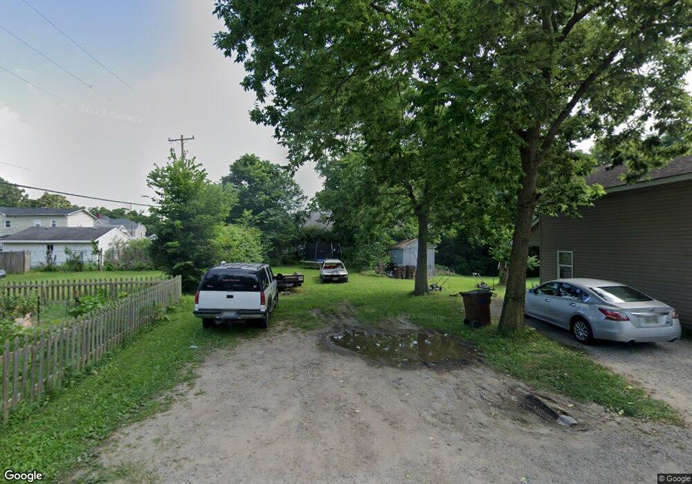
17 Rooks Ln Franklin, OH 45005
Estimated Value: $24,000 - $324,000
Studio
1
Bath
--
Sq Ft
5,184
Sq Ft Lot
About This Home
This home is located at 17 Rooks Ln, Franklin, OH 45005 and is currently estimated at $136,000. 17 Rooks Ln is a home located in Warren County with nearby schools including Franklin High School.
Ownership History
Date
Name
Owned For
Owner Type
Purchase Details
Closed on
May 22, 2018
Sold by
Cope Darrell
Bought by
Allen Dennis L and Allen Cheryl L
Current Estimated Value
Purchase Details
Closed on
Nov 8, 2017
Sold by
Warren County Auditor
Bought by
Cope Darrel
Purchase Details
Closed on
Jun 24, 2016
Sold by
Aumann Jim and Mays Bonnie
Bought by
State Of Ohio
Purchase Details
Closed on
Nov 3, 1989
Sold by
Fullen Fullen and Fullen Hiram R
Bought by
Caldwell Caldwell and Caldwell Archie
Purchase Details
Closed on
Sep 11, 1979
Sold by
Carlson Carlson and Carlson Agnes
Create a Home Valuation Report for This Property
The Home Valuation Report is an in-depth analysis detailing your home's value as well as a comparison with similar homes in the area
Home Values in the Area
Average Home Value in this Area
Purchase History
| Date | Buyer | Sale Price | Title Company |
|---|---|---|---|
| Allen Dennis L | $1,000 | -- | |
| Cope Darrel | -- | -- | |
| State Of Ohio | -- | Attorney | |
| Caldwell Caldwell | $10,500 | -- | |
| -- | $11,500 | -- |
Source: Public Records
Tax History
| Year | Tax Paid | Tax Assessment Tax Assessment Total Assessment is a certain percentage of the fair market value that is determined by local assessors to be the total taxable value of land and additions on the property. | Land | Improvement |
|---|---|---|---|---|
| 2025 | $181 | $3,360 | $3,360 | -- |
| 2024 | $181 | $3,360 | $3,360 | -- |
| 2023 | $112 | $1,904 | $1,904 | $0 |
| 2022 | $591 | $1,904 | $1,904 | $0 |
| 2021 | $105 | $1,904 | $1,904 | $0 |
| 2020 | $95 | $1,512 | $1,512 | $0 |
| 2019 | $88 | $1,512 | $1,512 | $0 |
| 2018 | $77 | $1,512 | $1,512 | $0 |
| 2017 | $81 | $1,453 | $1,453 | $0 |
| 2016 | $93 | $1,453 | $1,453 | $0 |
| 2015 | $750 | $1,453 | $1,453 | $0 |
| 2014 | $84 | $1,450 | $1,450 | $0 |
| 2013 | $360 | $8,310 | $1,680 | $6,630 |
Source: Public Records
Map
Nearby Homes
- 853 S River St
- 25 Hudson St
- 1200 S River St
- 705 S Main St
- 1200 Riley Blvd
- 627 S River St
- 527 S Main St
- 218 Roberts Ave
- 7189 Shaker Rd
- 0 E 4th St
- 309 Oxford Rd
- 5684 Olive Rd
- 45 W 3rd St
- 0 Kathy Ln Unit 954617
- 0 Kathy Ln Unit 1834240
- 205 Oxford Rd
- 410 Park Ave
- 202 E 2nd St
- 509 Forest Ave
- 511 Forest Ave
Your Personal Tour Guide
Ask me questions while you tour the home.