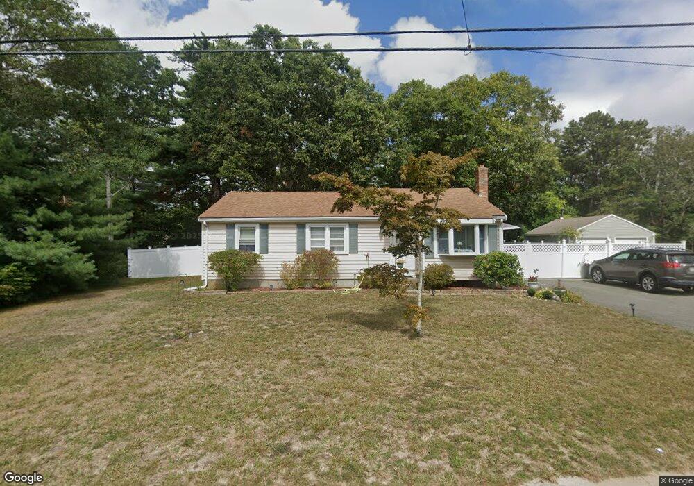
17 Willard St Wareham, MA 02571
Estimated Value: $394,000 - $478,000
3
Beds
1
Bath
982
Sq Ft
$437/Sq Ft
Est. Value
About This Home
This home is located at 17 Willard St, Wareham, MA 02571 and is currently estimated at $428,824, approximately $436 per square foot. 17 Willard St is a home located in Plymouth County.
Ownership History
Date
Name
Owned For
Owner Type
Purchase Details
Closed on
Jan 25, 1996
Sold by
Fhlmc
Bought by
Taber Catherine E
Current Estimated Value
Purchase Details
Closed on
Oct 26, 1995
Sold by
Cokinos Paul G and Cokinos Fhlmc
Bought by
Fhlmc
Purchase Details
Closed on
Jun 30, 1987
Sold by
Zaval Barry S
Bought by
Cokinos Paul G
Create a Home Valuation Report for This Property
The Home Valuation Report is an in-depth analysis detailing your home's value as well as a comparison with similar homes in the area
Purchase History
| Date | Buyer | Sale Price | Title Company |
|---|---|---|---|
| Taber Catherine E | $78,500 | -- | |
| Taber Catherine E | $78,500 | -- | |
| Fhlmc | $72,250 | -- | |
| Fhlmc | $72,250 | -- | |
| Cokinos Paul G | $111,800 | -- |
Source: Public Records
Mortgage History
| Date | Status | Borrower | Loan Amount |
|---|---|---|---|
| Open | Cokinos Paul G | $228,000 | |
| Closed | Cokinos Paul G | $70,000 | |
| Closed | Cokinos Paul G | $150,000 |
Source: Public Records
Tax History
| Year | Tax Paid | Tax Assessment Tax Assessment Total Assessment is a certain percentage of the fair market value that is determined by local assessors to be the total taxable value of land and additions on the property. | Land | Improvement |
|---|---|---|---|---|
| 2025 | $3,653 | $350,600 | $120,800 | $229,800 |
| 2024 | $3,727 | $331,900 | $94,400 | $237,500 |
| 2023 | $3,385 | $297,800 | $85,800 | $212,000 |
| 2022 | $3,385 | $256,800 | $85,800 | $171,000 |
| 2021 | $3,352 | $249,200 | $85,800 | $163,400 |
| 2020 | $3,135 | $236,400 | $85,800 | $150,600 |
| 2019 | $2,747 | $206,700 | $82,500 | $124,200 |
| 2018 | $2,603 | $191,000 | $82,500 | $108,500 |
| 2017 | $2,475 | $184,000 | $82,500 | $101,500 |
| 2016 | $2,264 | $167,300 | $79,800 | $87,500 |
| 2015 | $2,185 | $167,200 | $79,800 | $87,400 |
| 2014 | $2,181 | $169,700 | $79,800 | $89,900 |
Source: Public Records
Map
Nearby Homes
- 2711 Cranberry Hwy
- 2697 Cranberry Hwy Unit 23
- 2645 Cranberry Hwy Unit A
- 103 Kimberly Ct
- 156 Sandwich Rd
- 2783 Cranberry Hwy
- 0 Charge Pond Rd
- 25 Linwood Ave
- 110 Mayflower Ridge Dr
- 55 Minot Ave Unit 55
- 2838 Cranberry Hwy
- 102 Maple Springs Rd
- 10 Oak St
- 437 Main St
- 91 Agawam Lake Shore Dr
- 223 Charge Pond Rd
- 9 Old Glen Charlie Rd
- 124 Minot Ave Unit 1
- 7 Knowles Ave
- 3 Michael Dr
Your Personal Tour Guide
Ask me questions while you tour the home.