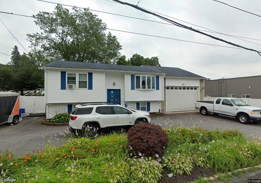
17 Woodrow Ave Cranston, RI 02920
Mayfield NeighborhoodEstimated Value: $349,000 - $438,989
3
Beds
1
Bath
1,442
Sq Ft
$283/Sq Ft
Est. Value
About This Home
This home is located at 17 Woodrow Ave, Cranston, RI 02920 and is currently estimated at $407,997, approximately $282 per square foot. 17 Woodrow Ave is a home located in Providence County with nearby schools including Garden City School, Western Hills Middle School, and Cranston High School West.
Ownership History
Date
Name
Owned For
Owner Type
Purchase Details
Closed on
Oct 16, 1992
Sold by
Mcmeekin Kevin F
Bought by
Martino James J and Martino Elaine
Current Estimated Value
Create a Home Valuation Report for This Property
The Home Valuation Report is an in-depth analysis detailing your home's value as well as a comparison with similar homes in the area
Home Values in the Area
Average Home Value in this Area
Purchase History
| Date | Buyer | Sale Price | Title Company |
|---|---|---|---|
| Martino James J | $113,500 | -- |
Source: Public Records
Mortgage History
| Date | Status | Borrower | Loan Amount |
|---|---|---|---|
| Open | Martino James J | $76,711 | |
| Closed | Martino James J | $41,296 | |
| Open | Martino James J | $203,957 |
Source: Public Records
Tax History Compared to Growth
Tax History
| Year | Tax Paid | Tax Assessment Tax Assessment Total Assessment is a certain percentage of the fair market value that is determined by local assessors to be the total taxable value of land and additions on the property. | Land | Improvement |
|---|---|---|---|---|
| 2025 | $4,858 | $350,000 | $111,800 | $238,200 |
| 2024 | $4,764 | $350,000 | $111,800 | $238,200 |
| 2023 | $4,513 | $238,800 | $73,600 | $165,200 |
| 2022 | $4,420 | $238,800 | $73,600 | $165,200 |
| 2021 | $4,298 | $238,800 | $73,600 | $165,200 |
| 2020 | $4,177 | $201,100 | $70,100 | $131,000 |
| 2019 | $4,177 | $201,100 | $70,100 | $131,000 |
| 2018 | $4,080 | $201,100 | $70,100 | $131,000 |
| 2017 | $4,152 | $181,000 | $63,100 | $117,900 |
| 2016 | $4,063 | $181,000 | $63,100 | $117,900 |
| 2015 | $4,063 | $181,000 | $63,100 | $117,900 |
| 2014 | $3,246 | $157,800 | $63,100 | $94,700 |
Source: Public Records
Map
Nearby Homes
- 61 Rose Hill Dr
- 112 Greenwich Ave
- 16 Flynn Ave
- 20 Manor Rd
- 16 Eastman St
- 14 W Natick Rd
- 91 Ridgeway Rd
- 11 Chaple Dr
- 37 Carriage Rd
- 33 Samuel Ct
- 10 East St Unit 316
- 10 East St Unit 205
- 25 Stoneham St
- 61 Crossland Rd
- 74 Pontiac St
- 20 Manilla Ave
- 46 Hornbeam Dr
- 54 River St Unit 4
- 115 Edman St
- 123 Edman St
- 23 Woodrow Ave
- 325 Mayfield Ave
- 33 Woodrow Ave
- 20 Woodrow Ave
- 14 Woodrow Ave
- 311 Mayfield Ave
- 26 Woodrow Ave
- 320 Mayfield Ave
- 40 Woodrow Ave
- 314 Mayfield Ave
- 601 Mayfield Ave Unit 601
- 602 Mayfield Ave Unit 602
- 307 Mayfield Ave
- 702 Mayfield Ave Unit 702
- 326 Mayfield Ave
- 19 Kermit Ave
- 310 Mayfield Ave
- 19 Oak Hill Dr
- 25 Oak Hill Dr
- 15 Kermit Ave