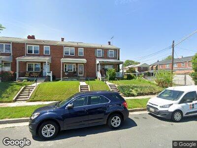
1700 Langport Ave Dundalk, MD 21222
Estimated Value: $167,852 - $224,000
--
Bed
1
Bath
1,008
Sq Ft
$198/Sq Ft
Est. Value
About This Home
This home is located at 1700 Langport Ave, Dundalk, MD 21222 and is currently estimated at $199,713, approximately $198 per square foot. 1700 Langport Ave is a home located in Baltimore County with nearby schools including Bear Creek Elementary School, General John Stricker Middle School, and Patapsco High & Center for Arts.
Ownership History
Date
Name
Owned For
Owner Type
Purchase Details
Closed on
Mar 10, 2023
Sold by
Klank Morris Ellsworth
Bought by
Klank Steven
Current Estimated Value
Home Financials for this Owner
Home Financials are based on the most recent Mortgage that was taken out on this home.
Original Mortgage
$120,000
Outstanding Balance
$117,955
Interest Rate
6.5%
Mortgage Type
New Conventional
Purchase Details
Closed on
Mar 16, 1983
Sold by
Nassner Kenneth F
Bought by
Klank Morris Elsworth and Klank Pamela R
Create a Home Valuation Report for This Property
The Home Valuation Report is an in-depth analysis detailing your home's value as well as a comparison with similar homes in the area
Home Values in the Area
Average Home Value in this Area
Purchase History
| Date | Buyer | Sale Price | Title Company |
|---|---|---|---|
| Klank Steven | $150,000 | Certified Title | |
| Klank Morris Elsworth | $42,900 | -- |
Source: Public Records
Mortgage History
| Date | Status | Borrower | Loan Amount |
|---|---|---|---|
| Open | Klank Steven | $120,000 | |
| Previous Owner | Klank Morris Elsworth | $45,400 |
Source: Public Records
Tax History Compared to Growth
Tax History
| Year | Tax Paid | Tax Assessment Tax Assessment Total Assessment is a certain percentage of the fair market value that is determined by local assessors to be the total taxable value of land and additions on the property. | Land | Improvement |
|---|---|---|---|---|
| 2024 | $2,197 | $136,000 | $0 | $0 |
| 2023 | $1,008 | $121,700 | $38,000 | $83,700 |
| 2022 | $1,955 | $119,633 | $0 | $0 |
| 2021 | $1,884 | $117,567 | $0 | $0 |
| 2020 | $1,884 | $115,500 | $38,000 | $77,500 |
| 2019 | $1,765 | $111,533 | $0 | $0 |
| 2018 | $1,770 | $107,567 | $0 | $0 |
| 2017 | $1,667 | $103,600 | $0 | $0 |
| 2016 | $1,926 | $103,600 | $0 | $0 |
| 2015 | $1,926 | $103,600 | $0 | $0 |
| 2014 | $1,926 | $120,800 | $0 | $0 |
Source: Public Records
Map
Nearby Homes
- 8037 N Boundary Rd
- 1740 Stokesley Rd
- 1704 Melbourne Rd
- 8186 Gray Haven Rd
- 1783 Inverness Ave
- 1587 Lynch Rd
- 8112 Kavanagh Rd
- 1912 Barry Rd
- 47 Mavista Ave
- 94 Avalon Ave
- 7856 Harold Rd
- 8211 Beach Dr
- 1907 Guy Way
- 317 Trappe Rd
- 71 Del Rio Rd
- 308 Pinewood Rd
- 2007 Dineen Dr
- 1614 Lynch Rd
- 7851 Kentley Rd
- 211 Trappe Rd
- 1700 Langport Ave
- 1702 Langport Ave
- 1704 Langport Ave
- 1706 Langport Ave
- 8049 N Boundary Rd
- 1708 Langport Ave
- 8047 North Boundary Rd
- 8045 North Boundary Rd
- 8049 North Boundary Rd
- 8045 N Boundary Rd
- 8043 N Boundary Rd
- 8043 North Boundary Rd
- 8041 N Boundary Rd
- 8041 North Boundary Rd
- 1701 Stokesley Rd
- 1703 Stokesley Rd
- 1705 Stokesley Rd
- 1707 Stokesley Rd
- 8039 North Boundary Rd
- 1712 Langport Ave