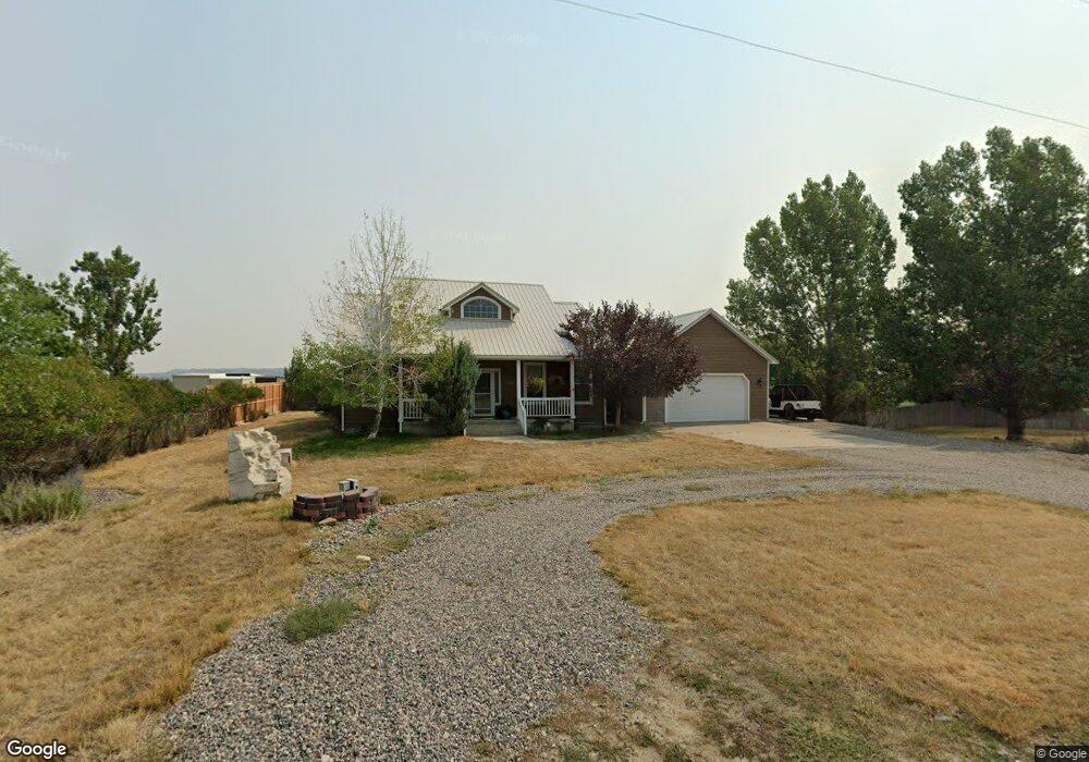
1705 Walter Rd Billings, MT 59105
Billings Heights NeighborhoodEstimated Value: $420,000 - $560,838
4
Beds
3
Baths
3,228
Sq Ft
$156/Sq Ft
Est. Value
About This Home
This home is located at 1705 Walter Rd, Billings, MT 59105 and is currently estimated at $504,460, approximately $156 per square foot. 1705 Walter Rd is a home located in Yellowstone County with nearby schools including Beartooth School, Medicine Crow Middle School, and Skyview High School.
Ownership History
Date
Name
Owned For
Owner Type
Purchase Details
Closed on
Sep 3, 2014
Sold by
Tanner Warren G and Tanner Colleen A
Bought by
Roberts Ii David J
Current Estimated Value
Home Financials for this Owner
Home Financials are based on the most recent Mortgage that was taken out on this home.
Original Mortgage
$235,000
Outstanding Balance
$148,761
Interest Rate
0.15%
Mortgage Type
Credit Line Revolving
Estimated Equity
$355,699
Purchase Details
Closed on
Jul 25, 2014
Sold by
Riggins Scott A and Johnson Shelly K
Bought by
Tanner Warren G and Tanner Colleen A
Home Financials for this Owner
Home Financials are based on the most recent Mortgage that was taken out on this home.
Original Mortgage
$235,000
Outstanding Balance
$148,761
Interest Rate
0.15%
Mortgage Type
Credit Line Revolving
Estimated Equity
$355,699
Purchase Details
Closed on
May 17, 2005
Sold by
Cunningham Robert M and Cunningham Jackie L
Bought by
Tanner Warren G and Tanner Colleen A
Create a Home Valuation Report for This Property
The Home Valuation Report is an in-depth analysis detailing your home's value as well as a comparison with similar homes in the area
Home Values in the Area
Average Home Value in this Area
Purchase History
| Date | Buyer | Sale Price | Title Company |
|---|---|---|---|
| Roberts Ii David J | -- | Stewart Title | |
| Tanner Warren G | -- | None Available | |
| Tanner Warren G | -- | St |
Source: Public Records
Mortgage History
| Date | Status | Borrower | Loan Amount |
|---|---|---|---|
| Open | Tanner Warren G | $235,000 |
Source: Public Records
Tax History Compared to Growth
Tax History
| Year | Tax Paid | Tax Assessment Tax Assessment Total Assessment is a certain percentage of the fair market value that is determined by local assessors to be the total taxable value of land and additions on the property. | Land | Improvement |
|---|---|---|---|---|
| 2025 | $3,831 | $540,500 | $103,099 | $437,401 |
| 2024 | $3,831 | $466,200 | $89,067 | $377,133 |
| 2023 | $3,761 | $466,200 | $89,067 | $377,133 |
| 2022 | $3,000 | $390,800 | $0 | $0 |
| 2021 | $3,477 | $390,800 | $0 | $0 |
| 2020 | $2,834 | $315,200 | $0 | $0 |
| 2019 | $2,780 | $315,200 | $0 | $0 |
| 2018 | $2,822 | $314,700 | $0 | $0 |
| 2017 | $2,735 | $314,700 | $0 | $0 |
| 2016 | $2,588 | $300,400 | $0 | $0 |
| 2015 | $2,527 | $300,400 | $0 | $0 |
| 2014 | $2,335 | $147,658 | $0 | $0 |
Source: Public Records
Map
Nearby Homes
- 1727 Wicks Ln
- 1819 Natalie St
- 13 Hartland St N
- 1 Rainier St N
- 10 Attika St N
- 6 N Bing
- 4 Lapin St
- 8 Lapin St
- 1961 Bitterroot Dr
- 1261 Cherry Island Dr
- 1290 Cherry Island Dr
- 38 Danube St
- 1402 Emma Ave
- 1212 Cherry Island Dr
- 1982 Sandra Dr
- 1327 Tania Cir
- 1320 Mading Dr
- 1518 S Ping Cir
- na Hawthorne Ln
- 1512 Mary St