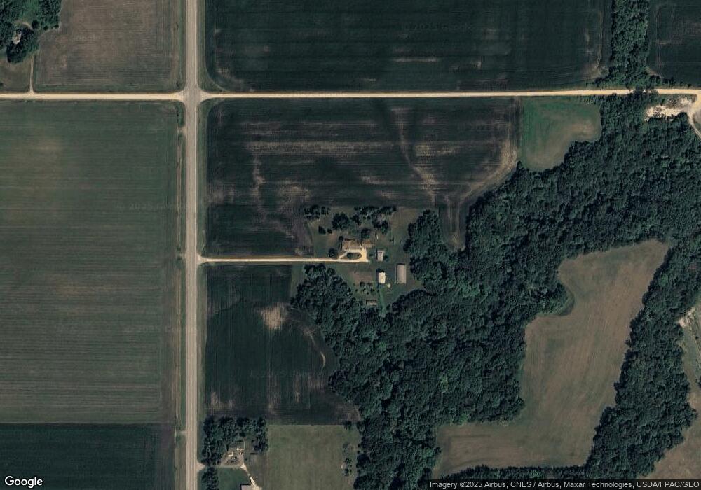
17069 State Highway 66 Good Thunder, MN 56037
Estimated Value: $359,000 - $638,709
3
Beds
2
Baths
1,662
Sq Ft
$289/Sq Ft
Est. Value
About This Home
This home is located at 17069 State Highway 66, Good Thunder, MN 56037 and is currently estimated at $480,177, approximately $288 per square foot. 17069 State Highway 66 is a home located in Blue Earth County with nearby schools including Lake Crystal Wellcome Memorial Elementary School, Lake Crystal Wellcome Memorial Secondary School, and St. John Lutheran School.
Ownership History
Date
Name
Owned For
Owner Type
Purchase Details
Closed on
Feb 6, 2016
Sold by
Wingen Neal T and Wingen Abigail
Bought by
Blue Earth County
Current Estimated Value
Purchase Details
Closed on
Jan 26, 2016
Sold by
Wingen Dale A and Wingen Carol A
Bought by
Blue Earth County
Create a Home Valuation Report for This Property
The Home Valuation Report is an in-depth analysis detailing your home's value as well as a comparison with similar homes in the area
Home Values in the Area
Average Home Value in this Area
Purchase History
| Date | Buyer | Sale Price | Title Company |
|---|---|---|---|
| Blue Earth County | -- | -- | |
| Blue Earth County | $27,500 | -- |
Source: Public Records
Tax History Compared to Growth
Tax History
| Year | Tax Paid | Tax Assessment Tax Assessment Total Assessment is a certain percentage of the fair market value that is determined by local assessors to be the total taxable value of land and additions on the property. | Land | Improvement |
|---|---|---|---|---|
| 2025 | $4,160 | $585,600 | $327,000 | $258,600 |
| 2024 | $4,160 | $608,400 | $354,500 | $253,900 |
| 2023 | $2,520 | $601,700 | $338,800 | $262,900 |
| 2022 | $2,342 | $529,600 | $283,100 | $246,500 |
| 2021 | $2,166 | $446,500 | $256,100 | $190,400 |
| 2020 | $2,134 | $431,500 | $258,300 | $173,200 |
| 2019 | $2,160 | $431,500 | $258,300 | $173,200 |
| 2018 | $2,032 | $421,200 | $245,900 | $175,300 |
| 2017 | $1,910 | $425,900 | $258,300 | $167,600 |
| 2016 | $1,934 | $410,800 | $258,700 | $152,100 |
| 2015 | $18 | $413,100 | $268,400 | $144,700 |
| 2014 | $1,886 | $187,300 | $50,000 | $137,300 |
Source: Public Records
Map
Nearby Homes
- 16280 552nd Ave
- 210 N Halladay St
- 217 S Houk St
- 721 Main St
- 120 Mapleridge Dr
- 16225 563rd Ave
- 331 S Ewing St
- 3136 River Meadows Dr
- 57396 181st Ln
- 57868 179th St
- 277 Red Ridge Rd
- 0 Tbd E 161st St
- E Tbd
- 55807 River Fort Dr
- 55856 River Fort Dr
- TBD 583rd Ln
- 27 Capri Dr
- 0 Tbd South Brook Way
- 20206 Monks Ave
- 213 Rosewood Dr