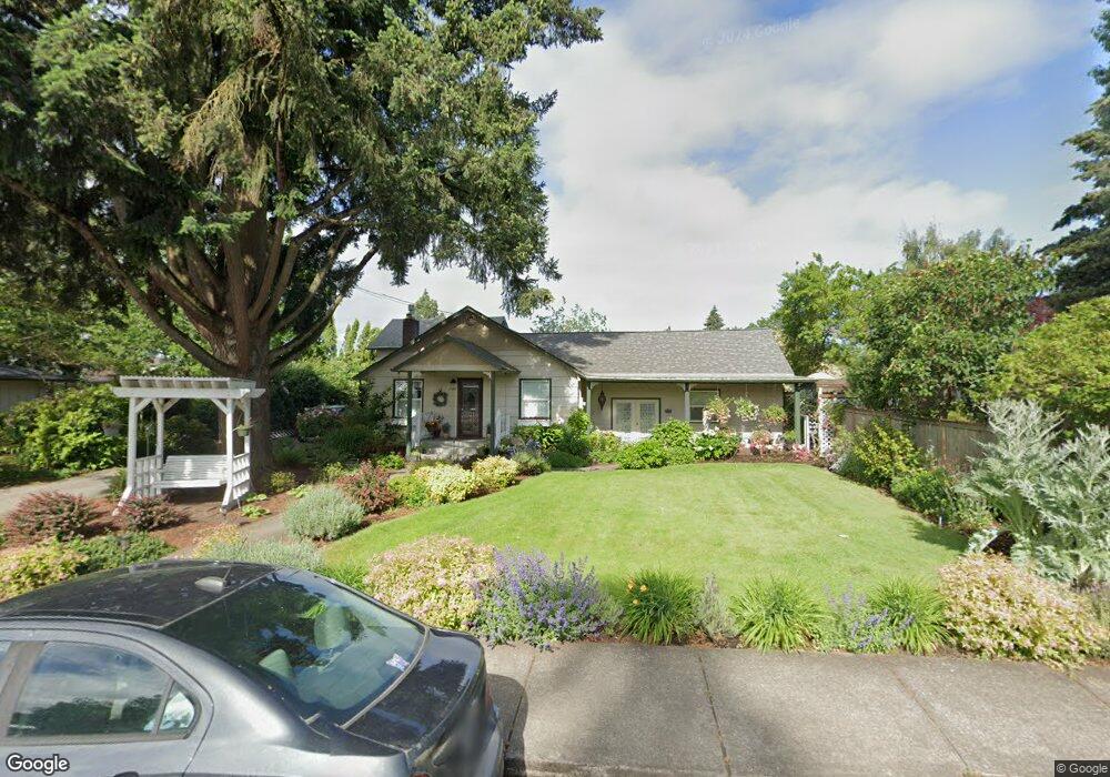
1708 Best Ln Eugene, OR 97401
Harlow NeighborhoodEstimated Value: $429,000 - $474,000
2
Beds
1
Bath
1,057
Sq Ft
$420/Sq Ft
Est. Value
About This Home
This home is located at 1708 Best Ln, Eugene, OR 97401 and is currently estimated at $444,169, approximately $420 per square foot. 1708 Best Ln is a home located in Lane County with nearby schools including Holt Elementary School, Monroe Middle School, and Sheldon High School.
Ownership History
Date
Name
Owned For
Owner Type
Purchase Details
Closed on
Feb 23, 2007
Sold by
Orsini Eileen Marie and Orsini Louis Paul
Bought by
Orsini Eileen Marie and Orsini Louis Paul
Current Estimated Value
Home Financials for this Owner
Home Financials are based on the most recent Mortgage that was taken out on this home.
Original Mortgage
$125,000
Outstanding Balance
$74,700
Interest Rate
6.21%
Mortgage Type
New Conventional
Estimated Equity
$369,469
Purchase Details
Closed on
May 29, 2001
Sold by
Clair Adkins & Associates Quality Homes
Bought by
Orsini Eileen Marie and Orsini Louis Paul
Create a Home Valuation Report for This Property
The Home Valuation Report is an in-depth analysis detailing your home's value as well as a comparison with similar homes in the area
Home Values in the Area
Average Home Value in this Area
Purchase History
| Date | Buyer | Sale Price | Title Company |
|---|---|---|---|
| Orsini Eileen Marie | -- | First American Title | |
| Orsini Eileen Marie | -- | -- |
Source: Public Records
Mortgage History
| Date | Status | Borrower | Loan Amount |
|---|---|---|---|
| Open | Orsini Eileen Marie | $125,000 |
Source: Public Records
Tax History
| Year | Tax Paid | Tax Assessment Tax Assessment Total Assessment is a certain percentage of the fair market value that is determined by local assessors to be the total taxable value of land and additions on the property. | Land | Improvement |
|---|---|---|---|---|
| 2025 | $4,643 | $238,282 | -- | -- |
| 2024 | $4,585 | $231,342 | -- | -- |
| 2023 | $4,585 | $224,604 | $0 | $0 |
| 2022 | $4,295 | $218,063 | $0 | $0 |
| 2021 | $4,034 | $211,712 | $0 | $0 |
| 2020 | $4,049 | $205,546 | $0 | $0 |
| 2019 | $3,910 | $199,560 | $0 | $0 |
| 2018 | $3,681 | $188,105 | $0 | $0 |
| 2017 | $3,516 | $188,105 | $0 | $0 |
| 2016 | $3,371 | $182,626 | $0 | $0 |
| 2015 | $3,261 | $177,307 | $0 | $0 |
| 2014 | $3,191 | $172,143 | $0 | $0 |
Source: Public Records
Map
Nearby Homes
- 1993 Best Ln
- 3090 Willakenzie Rd
- 1794 Kings St N
- 0 Sprig Ln Unit Lot 3
- 0 Sprig Ln Unit Lot 3 766109892
- 2577 Elysium Ave
- 1491 Victorian Way
- 1564 Regency Dr
- 2065 Providence St
- 3025 Bailey Ln
- 2420 Willona Dr
- 2611 Erin Way
- 2329 Willona Park
- 1270 Calvin St
- 2645 Chuckanut St
- 2423 Benson Ln
- 2707 Dayna Ln
- 1271 Arcadia Dr
- 1038 President St
- 2889 Kinney Loop
Your Personal Tour Guide
Ask me questions while you tour the home.