171 Forest Rd Wolfeboro, NH 03894
Estimated Value: $2,280,000 - $2,627,004
2
Beds
3
Baths
3,385
Sq Ft
$740/Sq Ft
Est. Value
About This Home
This home is located at 171 Forest Rd, Wolfeboro, NH 03894 and is currently estimated at $2,503,751, approximately $739 per square foot. 171 Forest Rd is a home with nearby schools including Carpenter Elementary School, Crescent Lake School, and Kingswood Regional Middle School.
Ownership History
Date
Name
Owned For
Owner Type
Purchase Details
Closed on
Dec 20, 2010
Sold by
Dempsey Robert H and Dempsey Joanne G
Bought by
M & A Development Group
Current Estimated Value
Purchase Details
Closed on
May 10, 2005
Sold by
Bentley David M
Bought by
Dempsey Robert H and Dempsey Jo Anne G
Home Financials for this Owner
Home Financials are based on the most recent Mortgage that was taken out on this home.
Original Mortgage
$1,116,000
Interest Rate
6.01%
Mortgage Type
Purchase Money Mortgage
Create a Home Valuation Report for This Property
The Home Valuation Report is an in-depth analysis detailing your home's value as well as a comparison with similar homes in the area
Home Values in the Area
Average Home Value in this Area
Purchase History
| Date | Buyer | Sale Price | Title Company |
|---|---|---|---|
| M & A Development Group | $1,900,000 | -- | |
| Dempsey Robert H | $1,395,000 | -- |
Source: Public Records
Mortgage History
| Date | Status | Borrower | Loan Amount |
|---|---|---|---|
| Open | Dempsey Robert H | $1,274,400 | |
| Previous Owner | Dempsey Robert H | $1,116,000 |
Source: Public Records
Tax History
| Year | Tax Paid | Tax Assessment Tax Assessment Total Assessment is a certain percentage of the fair market value that is determined by local assessors to be the total taxable value of land and additions on the property. | Land | Improvement |
|---|---|---|---|---|
| 2024 | $27,714 | $1,743,000 | $1,379,600 | $363,400 |
| 2023 | $25,605 | $1,743,000 | $1,379,600 | $363,400 |
| 2022 | $23,042 | $1,743,000 | $1,379,600 | $363,400 |
| 2021 | $23,827 | $1,743,000 | $1,379,600 | $363,400 |
| 2020 | $22,663 | $1,742,000 | $1,379,600 | $362,400 |
| 2019 | $23,421 | $1,478,600 | $1,191,200 | $287,400 |
| 2018 | $13,670 | $1,478,600 | $1,191,200 | $287,400 |
| 2017 | $22,149 | $1,478,600 | $1,191,200 | $287,400 |
| 2016 | $21,632 | $1,478,600 | $1,191,200 | $287,400 |
| 2015 | $20,626 | $1,478,600 | $1,191,200 | $287,400 |
| 2014 | $18,849 | $1,448,800 | $1,085,800 | $363,000 |
| 2013 | $18,588 | $1,448,800 | $1,085,800 | $363,000 |
Source: Public Records
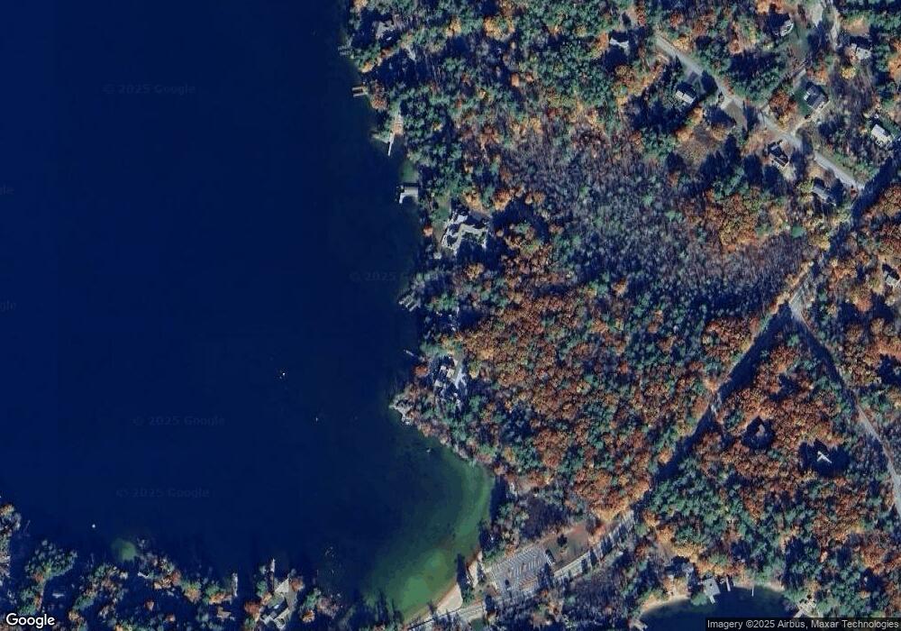
Map
Nearby Homes
- 4 Mulberry Ct
- 12 Highland Terrace
- 35 Rocky Shore Rd
- 222 N Main St
- 195 Sewall Rd
- 1 Ians Way
- 17 Waumbeck Rd
- 33 Endicott St Unit 7
- 185 Ambrose Way
- 40 Harbor Way Unit 24
- 39 Harbor Way Unit 19
- 0 Fieldstone Rd Unit 33
- 21 Goodrich Rd
- 290 Pine Hill Rd
- 172 Center St
- 00 Beach Pond Rd Unit 35
- 120 Big Barndoor Island
- 337 S Main St Unit Interval week 4 Janu
- 6 Governor Wentworth Hwy
- 4 Sunny Oaks Terrace
- 179 Forest Rd
- 36 Whitegate Rd
- 48 Whitegate Rd
- 203 Forest Rd
- 50 Whitegate Rd
- 60 Whitegate Rd
- 104 Forest Rd
- 198 Forest Rd
- 10 Partridge Dr
- 10 Partridge Dr
- 8 Partridge Dr
- 8 Partridge Dr
- 172 Forest Rd
- 6 Partridge Dr
- 6 Partridge Dr Unit 6B
- 178 Forest Rd
- 512 Sewall Rd
- 61 Whitegate Rd
- 1 Diamond Cove Way
- 212 Forest Rd
Your Personal Tour Guide
Ask me questions while you tour the home.