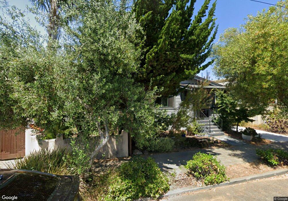
1710 Chestnut St Berkeley, CA 94702
West Berkeley NeighborhoodEstimated Value: $1,398,222 - $1,601,000
3
Beds
1
Bath
1,128
Sq Ft
$1,319/Sq Ft
Est. Value
About This Home
This home is located at 1710 Chestnut St, Berkeley, CA 94702 and is currently estimated at $1,487,306, approximately $1,318 per square foot. 1710 Chestnut St is a home located in Alameda County with nearby schools including Ruth Acty Elementary, Rosa Parks Elementary School, and Berkeley Arts Magnet at Whittier School.
Ownership History
Date
Name
Owned For
Owner Type
Purchase Details
Closed on
May 30, 2018
Sold by
Vayson Geraldine
Bought by
Webb Emma and Webb Steven
Current Estimated Value
Home Financials for this Owner
Home Financials are based on the most recent Mortgage that was taken out on this home.
Original Mortgage
$968,150
Outstanding Balance
$837,288
Interest Rate
4.5%
Mortgage Type
New Conventional
Estimated Equity
$650,018
Purchase Details
Closed on
Jul 8, 1994
Sold by
Pelley Ulysses A and Pelley Alverna M
Bought by
Pelley Ulysses A and Pelley Alverna M
Create a Home Valuation Report for This Property
The Home Valuation Report is an in-depth analysis detailing your home's value as well as a comparison with similar homes in the area
Home Values in the Area
Average Home Value in this Area
Purchase History
| Date | Buyer | Sale Price | Title Company |
|---|---|---|---|
| Webb Emma | $1,139,000 | Chicago Title Company | |
| Pelley Ulysses A | -- | -- |
Source: Public Records
Mortgage History
| Date | Status | Borrower | Loan Amount |
|---|---|---|---|
| Open | Webb Emma | $968,150 |
Source: Public Records
Tax History
| Year | Tax Paid | Tax Assessment Tax Assessment Total Assessment is a certain percentage of the fair market value that is determined by local assessors to be the total taxable value of land and additions on the property. | Land | Improvement |
|---|---|---|---|---|
| 2025 | $19,049 | $1,341,570 | $388,789 | $959,781 |
| 2024 | $19,049 | $1,315,128 | $381,166 | $940,962 |
| 2023 | $18,618 | $1,296,207 | $373,693 | $922,514 |
| 2022 | $18,276 | $1,263,796 | $366,367 | $904,429 |
| 2021 | $18,336 | $1,238,881 | $359,184 | $886,697 |
| 2020 | $16,869 | $1,185,014 | $355,504 | $829,510 |
| 2019 | $16,366 | $1,161,780 | $348,534 | $813,246 |
| 2018 | $2,630 | $40,510 | $21,763 | $18,747 |
| 2017 | $2,502 | $39,716 | $21,337 | $18,379 |
| 2016 | $2,321 | $38,937 | $20,918 | $18,019 |
| 2015 | $2,267 | $38,352 | $20,604 | $17,748 |
| 2014 | $2,204 | $37,600 | $20,200 | $17,400 |
Source: Public Records
Map
Nearby Homes
- 1631 Belvedere Ave
- 1322 Virginia St
- 1728 Curtis St
- 1261 Hearst Ave
- 1128 Delaware St
- 1368 Rose St
- 1919 Curtis St
- 1411 Hearst Ave Unit 2
- 1436 Delaware St
- 1564 Sacramento St
- 1400 Santa fe Ave
- 1813 Sacramento St
- 995 Virginia St
- 940 Delaware St
- 1339 Kains Ave
- 2013 9th St
- 2144 Curtis St
- 921 Jones St
- 1234 Stannage Ave
- 1529 Ada St
- 1706 Chestnut St
- 1716 Chestnut St
- 1262 Virginia St
- 1298 Virginia St
- 1256 Virginia St
- 1260 Virginia St
- 1231 Francisco St
- 1227 Francisco St
- 1225 Francisco St
- 1219 Francisco St
- 1703 Chestnut St
- 1715 Chestnut St
- 1709 Chestnut St
- 1711 Chestnut St
- 1217 Francisco St
- 1719 Chestnut St
- 1304 Virginia St
- 1252 Virginia St Unit A - B
- 1252 Virginia St
- 1213 Francisco St
Your Personal Tour Guide
Ask me questions while you tour the home.