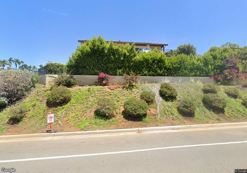
1712 Laurel Rd Oceanside, CA 92054
Fire Mountain NeighborhoodEstimated Value: $1,575,778 - $1,696,000
3
Beds
3
Baths
2,496
Sq Ft
$652/Sq Ft
Est. Value
About This Home
This home is located at 1712 Laurel Rd, Oceanside, CA 92054 and is currently estimated at $1,628,195, approximately $652 per square foot. 1712 Laurel Rd is a home with nearby schools including Palmquist Elementary School, Lincoln Middle School, and Oceanside High School.
Ownership History
Date
Name
Owned For
Owner Type
Purchase Details
Closed on
Oct 4, 2018
Sold by
Tanner Edward Troy and Tanner Kelly Anne
Bought by
Tanner Edward Troy and Tanner Kelly Anne
Current Estimated Value
Purchase Details
Closed on
Oct 4, 2011
Sold by
Lane Henry N and Eckman Margaret S
Bought by
Tanner Edward Troy and Tanner Kelly Anne
Purchase Details
Closed on
Apr 6, 2005
Sold by
Lane Henry N and Eckman Margaret S
Bought by
Lane Henry N and Eckman Margaret S
Create a Home Valuation Report for This Property
The Home Valuation Report is an in-depth analysis detailing your home's value as well as a comparison with similar homes in the area
Home Values in the Area
Average Home Value in this Area
Purchase History
| Date | Buyer | Sale Price | Title Company |
|---|---|---|---|
| Tanner Edward Troy | -- | None Available | |
| Tanner Edward Troy | $149,000 | California Title Company | |
| Lane Henry N | -- | First American Title |
Source: Public Records
Tax History
| Year | Tax Paid | Tax Assessment Tax Assessment Total Assessment is a certain percentage of the fair market value that is determined by local assessors to be the total taxable value of land and additions on the property. | Land | Improvement |
|---|---|---|---|---|
| 2025 | $8,993 | $822,839 | $198,983 | $623,856 |
| 2024 | $8,993 | $806,706 | $195,082 | $611,624 |
| 2023 | $8,715 | $790,889 | $191,257 | $599,632 |
| 2022 | $8,582 | $775,382 | $187,507 | $587,875 |
| 2021 | $8,614 | $760,180 | $183,831 | $576,349 |
| 2020 | $8,347 | $752,387 | $181,947 | $570,440 |
| 2019 | $8,103 | $737,635 | $178,380 | $559,255 |
| 2018 | $8,015 | $723,173 | $174,883 | $548,290 |
| 2017 | $7,867 | $708,994 | $171,454 | $537,540 |
| 2016 | $7,611 | $695,093 | $168,093 | $527,000 |
| 2015 | $1,713 | $155,719 | $155,719 | $0 |
| 2014 | $1,647 | $152,669 | $152,669 | $0 |
Source: Public Records
Map
Nearby Homes
- 2241 California St
- 2311 Loker Way
- 2309 Loker Way
- 2312 Loker Way
- 1355 Knoll Dr
- 1520 Downs St
- 2308 Loker Way
- 2306 Loker Way
- 2619 Fire Mountain Dr
- 1916 Laurel Rd
- 1858 Avocado Rd
- 1782 Troy Ln
- 1824 Portofino Dr
- 2301 Ivy Rd
- 1989 Seawind Way
- 1305 Cornish Dr
- 2245 Ivy Rd
- 2807 Valley Vista Way
- 2277 Dunstan St
- 1773 Ivy Rd
- 1716 Laurel Rd
- 1724 Laurel Rd
- 2443 Fire Mountain Dr Unit 1
- 2443 Fire Mountain Dr
- 2443 Fire Mountain Dr
- 2385 Fire Mountain Dr
- 2381 Fire Mountain Dr
- 2455 Fire Mountain Dr
- Lot 2 Fire Mountain Dr
- Lot 1 Fire Mountain Dr
- 1735 Laurel Rd
- 1732 Laurel Rd
- 1750 Laurel Rd
- 2461 Fire Mountain Dr
- 1740 Laurel Rd
- 1745 Laurel Rd
- 2365 Fire Mountain Dr
- 1760 Laurel Rd
- 2373 Fire Mountain Dr
- 2392 Fire Mountain Dr
Your Personal Tour Guide
Ask me questions while you tour the home.