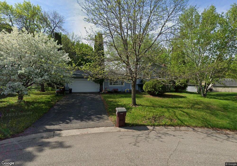
1715 Davenport Cir Saint Paul, MN 55122
Estimated Value: $363,000 - $385,000
3
Beds
2
Baths
1,030
Sq Ft
$362/Sq Ft
Est. Value
About This Home
This home is located at 1715 Davenport Cir, Saint Paul, MN 55122 and is currently estimated at $372,371, approximately $361 per square foot. 1715 Davenport Cir is a home located in Dakota County with nearby schools including Burnsville High School and Becks Montessori.
Ownership History
Date
Name
Owned For
Owner Type
Purchase Details
Closed on
Jan 11, 2013
Sold by
Casperson Steven E and Casperson Heidi M
Bought by
Casperson Steven E and Casperson Heidi M
Current Estimated Value
Home Financials for this Owner
Home Financials are based on the most recent Mortgage that was taken out on this home.
Original Mortgage
$217,400
Outstanding Balance
$150,947
Interest Rate
3.34%
Mortgage Type
New Conventional
Estimated Equity
$221,424
Purchase Details
Closed on
Sep 28, 2007
Sold by
Nelson Sarah J and Nelson Mark A
Bought by
Casperson Steven E and Casperson Heidi M
Home Financials for this Owner
Home Financials are based on the most recent Mortgage that was taken out on this home.
Original Mortgage
$232,700
Interest Rate
6.13%
Mortgage Type
New Conventional
Purchase Details
Closed on
Jul 3, 2001
Sold by
Friede Roger E and Friede Kimberly A
Bought by
Nelson Mark A and Denis Sarah J
Create a Home Valuation Report for This Property
The Home Valuation Report is an in-depth analysis detailing your home's value as well as a comparison with similar homes in the area
Home Values in the Area
Average Home Value in this Area
Purchase History
| Date | Buyer | Sale Price | Title Company |
|---|---|---|---|
| Casperson Steven E | -- | First American | |
| Casperson Steven E | $239,900 | -- | |
| Nelson Mark A | $163,000 | -- |
Source: Public Records
Mortgage History
| Date | Status | Borrower | Loan Amount |
|---|---|---|---|
| Open | Casperson Steven E | $217,400 | |
| Previous Owner | Casperson Steven E | $232,700 |
Source: Public Records
Tax History Compared to Growth
Tax History
| Year | Tax Paid | Tax Assessment Tax Assessment Total Assessment is a certain percentage of the fair market value that is determined by local assessors to be the total taxable value of land and additions on the property. | Land | Improvement |
|---|---|---|---|---|
| 2024 | $3,140 | $328,700 | $94,000 | $234,700 |
| 2023 | $3,140 | $335,100 | $94,300 | $240,800 |
| 2022 | $2,746 | $320,400 | $94,100 | $226,300 |
| 2021 | $2,688 | $282,900 | $82,100 | $200,800 |
| 2020 | $2,926 | $262,400 | $78,200 | $184,200 |
| 2019 | $2,931 | $256,800 | $74,400 | $182,400 |
| 2018 | $2,663 | $246,600 | $70,900 | $175,700 |
| 2017 | $2,581 | $215,900 | $67,600 | $148,300 |
| 2016 | $2,562 | $208,500 | $64,300 | $144,200 |
| 2015 | $2,204 | $179,016 | $58,018 | $120,998 |
| 2014 | -- | $174,983 | $56,261 | $118,722 |
| 2013 | -- | $147,733 | $49,447 | $98,286 |
Source: Public Records
Map
Nearby Homes
- 3958 Riverton Ave
- 3933 Donegal Way
- 1781 Taconite Point
- 1769 Serpentine Dr
- 1630 Murphy Pkwy
- 4100 Meadowlark Ln
- 1680 Oakbrooke Ct
- 3778 Grey Dove Ln
- 1730 Flamingo Dr
- 3847 Lodestone Cir
- 3907 Mica Trail
- 4055 Cinnabar Dr
- 3770 Robin Ln
- 1855 Silver Bell Rd Unit 314
- 1855 Silver Bell Rd Unit 120
- 1753 Bluebill Dr
- 1867 N Ruby Ct
- 1536 Stonewood Ln
- 3883 Dolomite Dr
- 1871 Silver Bell Rd Unit 217
- 1719 Davenport Cir
- 1711 Davenport Cir
- 1717 Monticello Ave
- 1713 Monticello Ave
- 1721 Monticello Ave
- 3932 Palisade Way
- 3933 Riverton Ave
- 1720 Davenport Cir
- 3940 Palisade Way
- 1716 Davenport Cir
- 3924 Palisade Way
- 1712 Davenport Cir
- 3941 Riverton Ave
- 3911 Riverton Ave
- 3916 Palisade Way
- 1714 Monticello Ave
- 1722 Monticello Ave
- 1718 Cochrane Ave
- 1710 Monticello Ave
- 1714 Cochrane Ave