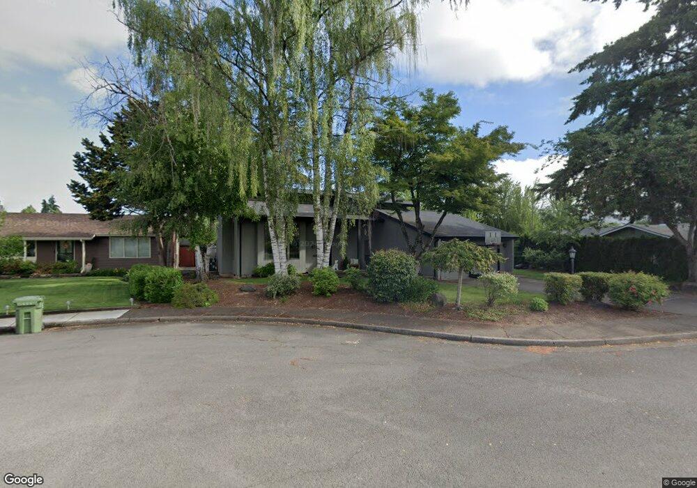
1718 Best Ln Eugene, OR 97401
Harlow NeighborhoodEstimated Value: $598,399 - $657,000
3
Beds
3
Baths
2,150
Sq Ft
$290/Sq Ft
Est. Value
About This Home
This home is located at 1718 Best Ln, Eugene, OR 97401 and is currently estimated at $623,600, approximately $290 per square foot. 1718 Best Ln is a home located in Lane County with nearby schools including Holt Elementary School, Monroe Middle School, and Sheldon High School.
Ownership History
Date
Name
Owned For
Owner Type
Purchase Details
Closed on
Aug 10, 2006
Sold by
Straub Margaret and Straub Ben
Bought by
Saunders Brian M and Saunders Angela C
Current Estimated Value
Purchase Details
Closed on
Aug 11, 2005
Sold by
Gillmore Virginia J
Bought by
Straub Margaret and Straub Ben
Home Financials for this Owner
Home Financials are based on the most recent Mortgage that was taken out on this home.
Original Mortgage
$211,200
Interest Rate
5.48%
Mortgage Type
Fannie Mae Freddie Mac
Create a Home Valuation Report for This Property
The Home Valuation Report is an in-depth analysis detailing your home's value as well as a comparison with similar homes in the area
Home Values in the Area
Average Home Value in this Area
Purchase History
| Date | Buyer | Sale Price | Title Company |
|---|---|---|---|
| Saunders Brian M | $339,900 | Fidelity National Title Insu | |
| Straub Margaret | $264,000 | Western Title & Escrow Compa |
Source: Public Records
Mortgage History
| Date | Status | Borrower | Loan Amount |
|---|---|---|---|
| Previous Owner | Straub Margaret | $211,200 | |
| Closed | Saunders Brian M | $0 |
Source: Public Records
Tax History
| Year | Tax Paid | Tax Assessment Tax Assessment Total Assessment is a certain percentage of the fair market value that is determined by local assessors to be the total taxable value of land and additions on the property. | Land | Improvement |
|---|---|---|---|---|
| 2025 | $6,552 | $336,292 | -- | -- |
| 2024 | $6,471 | $326,498 | -- | -- |
| 2023 | $6,471 | $316,989 | $0 | $0 |
| 2022 | $6,062 | $307,757 | $0 | $0 |
| 2021 | $5,694 | $298,794 | $0 | $0 |
| 2020 | $5,714 | $290,092 | $0 | $0 |
| 2019 | $5,506 | $281,643 | $0 | $0 |
| 2018 | $5,157 | $265,476 | $0 | $0 |
| 2017 | $4,846 | $265,476 | $0 | $0 |
| 2016 | $4,613 | $257,744 | $0 | $0 |
| 2015 | $4,467 | $250,237 | $0 | $0 |
| 2014 | $4,370 | $242,949 | $0 | $0 |
Source: Public Records
Map
Nearby Homes
- 2956 Willakenzie Rd
- 2580 Elysium Ave
- 0 Sprig Ln Unit Lot 3
- 0 Sprig Ln Unit Lot 3 766109892
- 2577 Elysium Ave
- 2495 Jeppesen Acres Rd
- 1491 Victorian Way
- 1564 Regency Dr
- 2420 Willona Dr
- 1630 Ridgley Blvd
- 2645 Chuckanut St
- 1090 Corydon St
- 2707 Dayna Ln
- 2738 Dayna Ln
- 950 Coburg Rd
- 2207 Willona Dr
- 1271 Arcadia Dr
- 1521 Gilham Rd
- 2132 Willona Dr
- 2134 Willona Dr
Your Personal Tour Guide
Ask me questions while you tour the home.