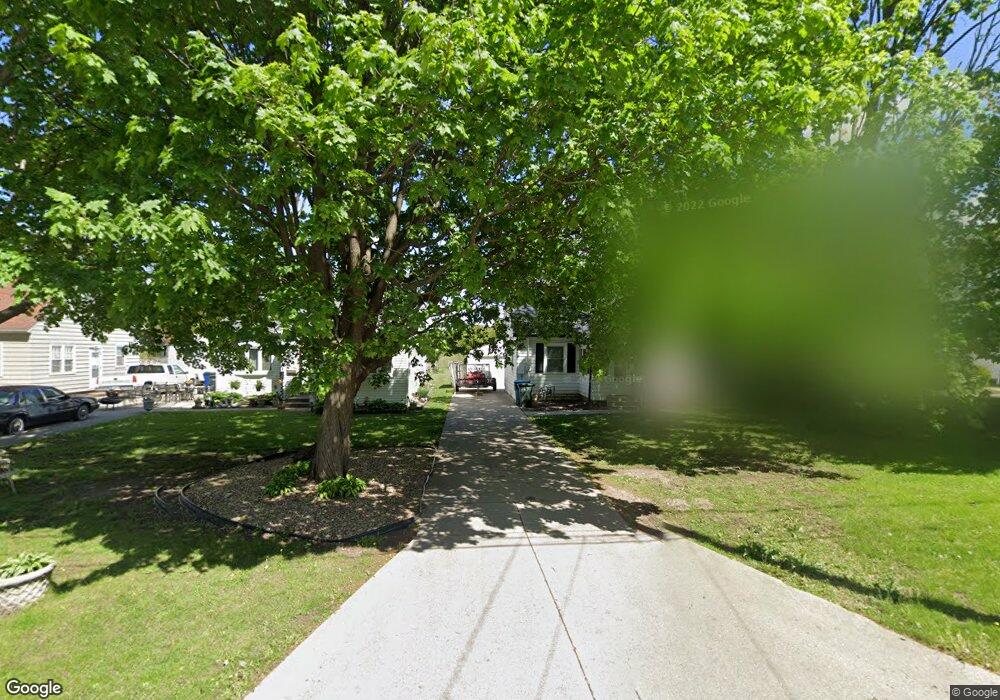
1723 W 7th St Waterloo, IA 50702
Liberty Park NeighborhoodEstimated Value: $113,000 - $124,000
2
Beds
1
Bath
616
Sq Ft
$193/Sq Ft
Est. Value
About This Home
This home is located at 1723 W 7th St, Waterloo, IA 50702 and is currently estimated at $118,756, approximately $192 per square foot. 1723 W 7th St is a home located in Black Hawk County with nearby schools including Kittrell Elementary School, Hoover Middle School, and West High School.
Ownership History
Date
Name
Owned For
Owner Type
Purchase Details
Closed on
Oct 24, 2009
Sold by
Oltrogge Tamra L and Hansard Suzanne K
Bought by
Weber Nicholas M and Cox Sara K
Current Estimated Value
Home Financials for this Owner
Home Financials are based on the most recent Mortgage that was taken out on this home.
Original Mortgage
$74,623
Outstanding Balance
$48,428
Interest Rate
4.96%
Mortgage Type
FHA
Estimated Equity
$70,328
Create a Home Valuation Report for This Property
The Home Valuation Report is an in-depth analysis detailing your home's value as well as a comparison with similar homes in the area
Home Values in the Area
Average Home Value in this Area
Purchase History
| Date | Buyer | Sale Price | Title Company |
|---|---|---|---|
| Weber Nicholas M | $76,500 | Black Hawk County Abstract & |
Source: Public Records
Mortgage History
| Date | Status | Borrower | Loan Amount |
|---|---|---|---|
| Open | Weber Nicholas M | $74,623 |
Source: Public Records
Tax History Compared to Growth
Tax History
| Year | Tax Paid | Tax Assessment Tax Assessment Total Assessment is a certain percentage of the fair market value that is determined by local assessors to be the total taxable value of land and additions on the property. | Land | Improvement |
|---|---|---|---|---|
| 2025 | $2,226 | $111,120 | $19,040 | $92,080 |
| 2024 | $2,226 | $112,790 | $19,040 | $93,750 |
| 2023 | $1,450 | $97,120 | $19,040 | $78,080 |
| 2022 | $1,410 | $74,880 | $19,040 | $55,840 |
| 2021 | $1,408 | $74,880 | $19,040 | $55,840 |
| 2020 | $1,368 | $70,220 | $14,960 | $55,260 |
| 2019 | $1,368 | $70,220 | $14,960 | $55,260 |
| 2018 | $1,372 | $70,220 | $14,960 | $55,260 |
| 2017 | $1,416 | $70,220 | $14,960 | $55,260 |
| 2016 | $1,396 | $70,220 | $14,960 | $55,260 |
| 2015 | $1,396 | $70,220 | $14,960 | $55,260 |
| 2014 | $1,356 | $67,310 | $14,960 | $52,350 |
Source: Public Records
Map
Nearby Homes
- 812 Hawthorne Ave
- 710 Eureka St
- 1101 Glenny Ave
- 1415 W 9th St
- 1017 Forest Ave
- 1115 Hawthorne Ave
- 805 E Mitchell Ave
- 922 E Mitchell Ave
- 826 Williston Ave
- 1212 Byron Ave
- 1107 E Mitchell Ave
- 1125 Bertch Ave
- 1229 W 7th St
- 1110 E Mitchell Ave
- 2003 Randolph St
- 1207 Bertch Ave
- 711 Cornwall Ave
- 1147 Bourland Ave
- 611 Johnson St
- 1809 Baltimore St