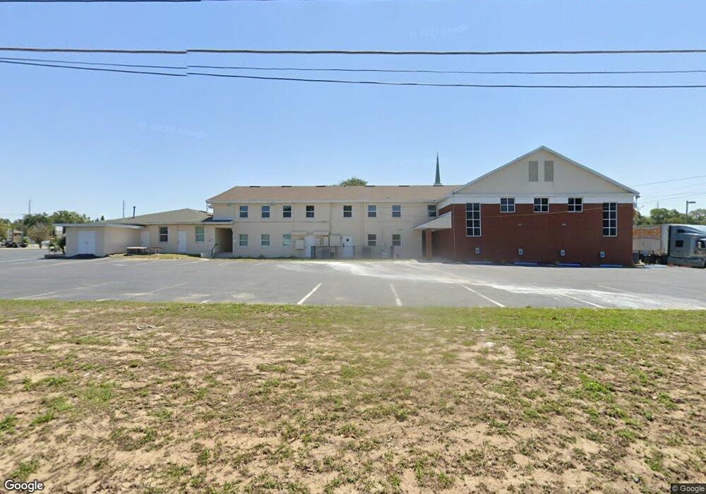
1724 S Bay St Eustis, FL 32726
Estimated Value: $1,358,601
Studio
7
Baths
22,988
Sq Ft
$59/Sq Ft
Est. Value
About This Home
This home is located at 1724 S Bay St, Eustis, FL 32726 and is currently estimated at $1,358,601, approximately $59 per square foot. 1724 S Bay St is a home located in Lake County with nearby schools including Eustis Heights Elementary School, Eustis Middle School, and Eustis High School.
Ownership History
Date
Name
Owned For
Owner Type
Purchase Details
Closed on
May 15, 2024
Sold by
Epiphany Celebration Anglican Church Inc
Bought by
1St Church/Our Lord Jesus Chri
Current Estimated Value
Purchase Details
Closed on
Jul 1, 2010
Sold by
Baptist Missions Inc
Bought by
Epiphany Celebration Anglican Church Inc
Home Financials for this Owner
Home Financials are based on the most recent Mortgage that was taken out on this home.
Original Mortgage
$1,260,000
Interest Rate
4.77%
Mortgage Type
Seller Take Back
Create a Home Valuation Report for This Property
The Home Valuation Report is an in-depth analysis detailing your home's value as well as a comparison with similar homes in the area
Home Values in the Area
Average Home Value in this Area
Purchase History
| Date | Buyer | Sale Price | Title Company |
|---|---|---|---|
| 1St Church/Our Lord Jesus Chri | $1,400,000 | None Listed On Document | |
| Epiphany Celebration Anglican Church Inc | $1,440,000 | Attorney |
Source: Public Records
Mortgage History
| Date | Status | Borrower | Loan Amount |
|---|---|---|---|
| Previous Owner | Epiphany Celebration Anglican Church Inc | $1,260,000 |
Source: Public Records
Tax History
| Year | Tax Paid | Tax Assessment Tax Assessment Total Assessment is a certain percentage of the fair market value that is determined by local assessors to be the total taxable value of land and additions on the property. | Land | Improvement |
|---|---|---|---|---|
| 2026 | -- | $1,285,248 | $244,564 | $1,040,684 |
| 2025 | -- | $1,284,544 | $244,564 | $1,039,980 |
| 2024 | -- | $1,673,453 | $244,564 | $1,428,889 |
| 2023 | $0 | $1,671,840 | $244,564 | $1,427,276 |
| 2022 | $0 | $1,433,842 | $202,119 | $1,231,723 |
| 2021 | $0 | $1,563,183 | $0 | $0 |
| 2020 | $0 | $1,563,183 | $0 | $0 |
| 2019 | $0 | $1,438,937 | $0 | $0 |
| 2018 | $0 | $508,237 | $0 | $0 |
| 2017 | $0 | $516,401 | $0 | $0 |
| 2016 | -- | $524,564 | $0 | $0 |
| 2015 | -- | $531,856 | $0 | $0 |
| 2014 | -- | $540,019 | $0 | $0 |
Source: Public Records
Map
Nearby Homes
- 105 W Golf Links Ave
- 102 W Saint Louis Ave
- 118 W Chesley Ave
- 1215 Morin St
- 301 E Atwater Ave
- 507 Firewood Ave
- 436 E Atwater Ave
- 203 E Lakeview Ave
- 1111 South St
- 1021 Titcomb St
- 1901 Prevatt St
- 1033 S Grove St
- 630 Cedar Elm Ct
- 322 Palm Ave
- 615 Briarcliff Rd
- 646 Cedar Elm Ct
- 650 Cedar Elm Ct
- 1300 Saint Andrews Blvd
- 2250 Red Pine Ct
- 2254 Red Pine Ct
- 1614 S Bay St
- 21 W Quayle Ave
- 1800 S Bay St
- 1720 Morin St
- 1740 Morin St
- 33 W Quayle Ave
- 1792 Morin St
- 1700 Morin St
- 100 W Golf Links Ave
- 1806 S Bay St
- 1749 S Bay St
- 1615 Morin St
- 1622 Morin St
- 114 W Golf Links Ave
- 104 W Quayle Ave
- 1801 S Bay St
- 1600 S Bay St
- 1809 S Bay St
- 116 W Golf Links Ave
- 18 E Golf Links Ave
Your Personal Tour Guide
Ask me questions while you tour the home.