1726 Lawndale Rd El Cajon, CA 92019
Rancho Park NeighborhoodEstimated Value: $1,221,481 - $1,774,000
3
Beds
3
Baths
2,538
Sq Ft
$565/Sq Ft
Est. Value
About This Home
This home is located at 1726 Lawndale Rd, El Cajon, CA 92019 and is currently estimated at $1,434,370, approximately $565 per square foot. 1726 Lawndale Rd is a home located in San Diego County with nearby schools including Vista Grande Elementary, Hillsdale Middle School, and Valhalla High.
Ownership History
Date
Name
Owned For
Owner Type
Purchase Details
Closed on
Nov 13, 2017
Sold by
West Daniel B and Swan West Marilyn E
Bought by
West Daniel Blaine and Swan Marilyn Elaine
Current Estimated Value
Purchase Details
Closed on
Apr 21, 2016
Sold by
West Daniel B and Swan West Marilyn E
Bought by
West Daniel B and Swan West Marilyn E
Home Financials for this Owner
Home Financials are based on the most recent Mortgage that was taken out on this home.
Original Mortgage
$544,000
Outstanding Balance
$431,179
Interest Rate
3.61%
Mortgage Type
New Conventional
Estimated Equity
$1,003,191
Purchase Details
Closed on
Jan 5, 2007
Sold by
West Daniel B and Swan West Marilyn
Bought by
Daniel B & Marilyn E Swan West Family Tr
Purchase Details
Closed on
Mar 1, 2002
Sold by
Shea Homes Ltd Partnership
Bought by
West Daniel B and Swan West Marilyn
Home Financials for this Owner
Home Financials are based on the most recent Mortgage that was taken out on this home.
Original Mortgage
$300,700
Interest Rate
6.85%
Create a Home Valuation Report for This Property
The Home Valuation Report is an in-depth analysis detailing your home's value as well as a comparison with similar homes in the area
Home Values in the Area
Average Home Value in this Area
Purchase History
| Date | Buyer | Sale Price | Title Company |
|---|---|---|---|
| West Daniel Blaine | -- | None Available | |
| West Daniel B | -- | Orange Coast Title Company | |
| Daniel B & Marilyn E Swan West Family Tr | -- | Accommodation | |
| West Daniel B | $431,500 | First American Title |
Source: Public Records
Mortgage History
| Date | Status | Borrower | Loan Amount |
|---|---|---|---|
| Open | West Daniel B | $544,000 | |
| Closed | West Daniel B | $300,700 |
Source: Public Records
Tax History Compared to Growth
Tax History
| Year | Tax Paid | Tax Assessment Tax Assessment Total Assessment is a certain percentage of the fair market value that is determined by local assessors to be the total taxable value of land and additions on the property. | Land | Improvement |
|---|---|---|---|---|
| 2025 | $8,208 | $698,617 | $214,195 | $484,422 |
| 2024 | $8,208 | $684,920 | $209,996 | $474,924 |
| 2023 | $7,994 | $671,491 | $205,879 | $465,612 |
| 2022 | $7,868 | $658,326 | $201,843 | $456,483 |
| 2021 | $7,764 | $645,419 | $197,886 | $447,533 |
| 2020 | $7,682 | $638,802 | $195,857 | $442,945 |
| 2019 | $7,588 | $626,277 | $192,017 | $434,260 |
| 2018 | $7,464 | $613,998 | $188,252 | $425,746 |
| 2017 | $594 | $601,960 | $184,561 | $417,399 |
| 2016 | $7,073 | $590,158 | $180,943 | $409,215 |
| 2015 | $7,029 | $581,295 | $178,226 | $403,069 |
| 2014 | -- | $569,909 | $174,735 | $395,174 |
Source: Public Records
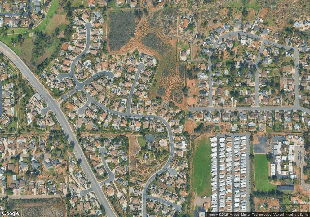
Map
Nearby Homes
- 1752 Russet Leaf Ct
- 1810 Hillsdale Rd Unit 18
- 1810 Hillsdale Rd Unit 57
- 1533 Fair Glen Rd Unit 2
- 0 Hillsdale Rd Unit PTP2503874
- 1239 Avocado Summit Dr
- 1542 Woody Hills Dr
- 1819 Monarch Ridge Cir
- 1828 Donahue Dr
- 1904 Grove Rd
- 2057 Hidden Crest Dr
- 12093 Calle de Medio Unit 131
- 2030 Seca St
- 2643 Wind River Rd
- 12034 Calle de Montana Unit 286
- 12045 Calle de Medio Unit 104
- 12020 Calle de Medio Unit 174
- 1780 Grove Rd
- 1876 Vista Way
- 12218 Fuerte Dr
- 1718 Lawndale Rd
- 1734 Lawndale Rd
- 1710 Lawndale Rd
- 1742 Lawndale Rd
- 1725 Lawndale Rd
- 1717 Sungrove Ct
- 1702 Lawndale Rd
- 1717 Lawndale Rd
- 1733 Lawndale Rd
- 1733 Sungrove Ct
- 1709 Lawndale Rd
- 1750 Lawndale Rd
- 1749 Sungrove Ct
- 1701 Lawndale Rd
- 1694 Lawndale Rd
- 1758 Lawndale Rd
- 1765 Sungrove Ct
- 1716 Sungrove Ct
- 1805 Julianna St
- 1697 Lawndale Rd