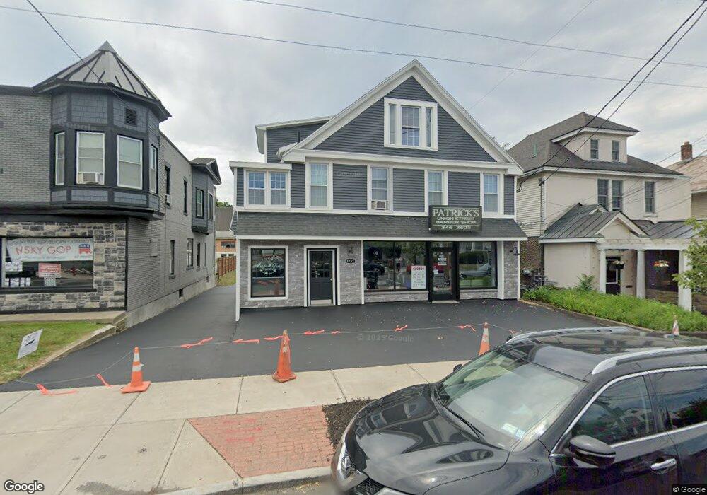
1732 Union St Schenectady, NY 12309
Estimated Value: $476,807
4
Beds
6
Baths
3,000
Sq Ft
$159/Sq Ft
Est. Value
About This Home
This home is located at 1732 Union St, Schenectady, NY 12309 and is currently estimated at $476,807, approximately $158 per square foot. 1732 Union St is a home located in Schenectady County with nearby schools including Paige Elementary School, Central Park Middle School, and Schenectady High School.
Ownership History
Date
Name
Owned For
Owner Type
Purchase Details
Closed on
Sep 12, 2012
Sold by
Popolizio Frank
Bought by
Patrick Marion Properties Llc
Current Estimated Value
Home Financials for this Owner
Home Financials are based on the most recent Mortgage that was taken out on this home.
Original Mortgage
$183,750
Outstanding Balance
$127,267
Interest Rate
3.59%
Mortgage Type
Commercial
Estimated Equity
$349,540
Purchase Details
Closed on
Jun 2, 1992
Sold by
Mueller M A
Bought by
Popolizio Frank
Create a Home Valuation Report for This Property
The Home Valuation Report is an in-depth analysis detailing your home's value as well as a comparison with similar homes in the area
Purchase History
| Date | Buyer | Sale Price | Title Company |
|---|---|---|---|
| Patrick Marion Properties Llc | $245,000 | Chicago Title Insurance Co | |
| Popolizio Frank | $128,000 | -- |
Source: Public Records
Mortgage History
| Date | Status | Borrower | Loan Amount |
|---|---|---|---|
| Open | Patrick Marion Properties Llc | $183,750 |
Source: Public Records
Tax History
| Year | Tax Paid | Tax Assessment Tax Assessment Total Assessment is a certain percentage of the fair market value that is determined by local assessors to be the total taxable value of land and additions on the property. | Land | Improvement |
|---|---|---|---|---|
| 2024 | $9,735 | $223,200 | $23,800 | $199,400 |
| 2023 | $95 | $223,200 | $23,800 | $199,400 |
| 2022 | $9,746 | $223,200 | $23,800 | $199,400 |
| 2021 | $9,723 | $223,200 | $23,800 | $199,400 |
| 2020 | $9,614 | $223,200 | $23,800 | $199,400 |
| 2019 | $4,989 | $223,200 | $23,800 | $199,400 |
| 2018 | $9,725 | $223,200 | $23,800 | $199,400 |
| 2017 | $10,313 | $223,200 | $23,800 | $199,400 |
| 2016 | $10,098 | $223,200 | $23,800 | $199,400 |
| 2015 | -- | $223,200 | $23,800 | $199,400 |
| 2014 | -- | $223,200 | $23,800 | $199,400 |
Source: Public Records
Map
Nearby Homes
- 1073 Regent St
- 32 Ray St
- 2103 Plum St
- 2318 Plum St
- 1146 Dean St
- 1023 Lexington Ave
- 828 Decamp Ave
- 2171 Grand Blvd
- 1295 Myron St
- 1719 Eastern Pkwy
- 989 Balltown Rd
- 2131 Grand Blvd
- L39 Inwood Ave
- L30 Inwood Ave
- 1149 Sumner Ave
- 1508 Union St
- 1152 van Curler Ave
- 278 Donald Ave
- 1450 Baker Ave
- 609 Mc Clellan St
- 1730 Union St Unit 1
- 1740 Union St Unit 2 & 3
- 945 Palmer Ave
- 1726 Union St Unit 2
- 1726 Union St
- 2139 Eastern Pkwy
- 1729 Union St
- 2127 Eastern Pkwy
- 2123 Eastern Pkwy
- 1727 Union St
- 2125 Eastern Pkwy
- 1725 Union St
- 2119 Eastern Pkwy
- 1716 Union St
- 1025 Palmer Ave
- 1019 Palmer Ave
- 1714 Union St Unit 2
- 1714 Union St Unit 1
- 1714 Union St
- 1748 Union St
Your Personal Tour Guide
Ask me questions while you tour the home.