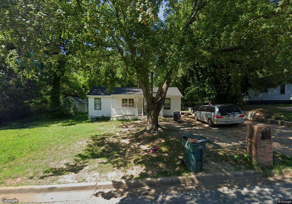
1742 Cleoford Ave Memphis, TN 38127
Frayser NeighborhoodEstimated Value: $84,000 - $128,000
3
Beds
2
Baths
1,944
Sq Ft
$56/Sq Ft
Est. Value
About This Home
This home is located at 1742 Cleoford Ave, Memphis, TN 38127 and is currently estimated at $109,386, approximately $56 per square foot. 1742 Cleoford Ave is a home located in Shelby County with nearby schools including Georgian Hills Middle School, Trezevant High School, and Cornerstone Prep Denver Campus.
Ownership History
Date
Name
Owned For
Owner Type
Purchase Details
Closed on
Jan 4, 2021
Sold by
Hills Marcus D
Bought by
Distinguished Living Llc
Current Estimated Value
Purchase Details
Closed on
May 3, 2018
Sold by
Earl Gloria and Hills Marcus
Bought by
Earl Gloria
Purchase Details
Closed on
May 6, 2015
Sold by
Earl Carlos A
Bought by
Earl Gloria and Hill Marcus
Purchase Details
Closed on
Apr 21, 2015
Sold by
County Of Shelby
Bought by
Earl Carlos A
Purchase Details
Closed on
Aug 25, 2013
Sold by
County Of Shelby
Bought by
Williams Bryan X
Create a Home Valuation Report for This Property
The Home Valuation Report is an in-depth analysis detailing your home's value as well as a comparison with similar homes in the area
Home Values in the Area
Average Home Value in this Area
Purchase History
| Date | Buyer | Sale Price | Title Company |
|---|---|---|---|
| Distinguished Living Llc | -- | None Available | |
| Earl Gloria | -- | None Available | |
| Earl Gloria | -- | None Available | |
| Earl Carlos A | $9,000 | None Available | |
| Williams Bryan X | $6,000 | None Available |
Source: Public Records
Tax History Compared to Growth
Tax History
| Year | Tax Paid | Tax Assessment Tax Assessment Total Assessment is a certain percentage of the fair market value that is determined by local assessors to be the total taxable value of land and additions on the property. | Land | Improvement |
|---|---|---|---|---|
| 2025 | $497 | $27,825 | $1,375 | $26,450 |
| 2024 | $497 | $14,650 | $1,125 | $13,525 |
| 2023 | $892 | $14,650 | $1,125 | $13,525 |
| 2022 | $892 | $14,650 | $1,125 | $13,525 |
| 2021 | $1,061 | $14,650 | $1,125 | $13,525 |
| 2020 | $1,000 | $13,800 | $1,125 | $12,675 |
| 2019 | $441 | $13,800 | $1,125 | $12,675 |
| 2018 | $441 | $13,800 | $1,125 | $12,675 |
| 2017 | $451 | $13,800 | $1,125 | $12,675 |
| 2016 | $621 | $14,200 | $0 | $0 |
| 2014 | $581 | $0 | $0 | $0 |
Source: Public Records
Map
Nearby Homes
- 0 Old Benjestown Rd
- 3618 N Watkins St
- 1651 Corning Ave
- 3766 Argonne St
- 3580 Winston Dr
- 1838 Townsend Ave
- 3558 Kensett Dr
- 1820 Saint Elmo Ave
- 3585 Winston Dr
- 1834 Saint Elmo Ave
- 3603 Bigelow St
- 3536 Winston Dr
- 1525 Corning Ave
- 1753 Winston Dr
- 1612 Winston Dr
- 3794 Donna Dr
- 1947 Tulsa Ave
- 1740 Carlyle Ave
- 1930 Saint Elmo Ave
- 3560 Steele St
- 0 Parcel Id Tax Id D0144 00069 St Unit 10189088
- 1748 Cleoford Ave
- 1732 Cleoford Ave
- 3679 St
- 1745 Dabbs Ave
- 1756 Cleoford Ave
- 1737 Dabbs Ave
- 1726 Cleoford Ave
- 1743 Cleoford Ave
- 1755 Dabbs Ave
- 1749 Cleoford Ave
- 1735 Cleoford Ave
- 1727 Dabbs Ave
- 1720 Cleoford Ave
- 1762 Cleoford Ave
- 1729 Cleoford Ave
- 1757 Cleoford Ave
- 1719 Dabbs Ave
- 1721 Cleoford Ave
- 1716 Cleoford Ave