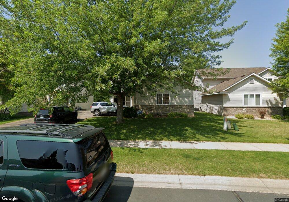
1742 Wyndam Dr Shakopee, MN 55379
Estimated Value: $325,000 - $412,000
3
Beds
3
Baths
1,680
Sq Ft
$215/Sq Ft
Est. Value
About This Home
This home is located at 1742 Wyndam Dr, Shakopee, MN 55379 and is currently estimated at $361,968, approximately $215 per square foot. 1742 Wyndam Dr is a home located in Scott County with nearby schools including Eagle Creek Elementary School, East Middle School, and Shakopee Senior High School.
Ownership History
Date
Name
Owned For
Owner Type
Purchase Details
Closed on
Nov 17, 2015
Sold by
Kidder Michelle and Kidder Henry
Bought by
Khandelwal Piyush Murari
Current Estimated Value
Home Financials for this Owner
Home Financials are based on the most recent Mortgage that was taken out on this home.
Original Mortgage
$169,520
Outstanding Balance
$69,386
Interest Rate
3.75%
Mortgage Type
New Conventional
Estimated Equity
$292,582
Purchase Details
Closed on
Apr 22, 2009
Sold by
Gmac Mortgage Llc
Bought by
Butcher Michelle
Create a Home Valuation Report for This Property
The Home Valuation Report is an in-depth analysis detailing your home's value as well as a comparison with similar homes in the area
Home Values in the Area
Average Home Value in this Area
Purchase History
| Date | Buyer | Sale Price | Title Company |
|---|---|---|---|
| Khandelwal Piyush Murari | $211,900 | Home Title Inc | |
| Butcher Michelle | $199,500 | -- |
Source: Public Records
Mortgage History
| Date | Status | Borrower | Loan Amount |
|---|---|---|---|
| Open | Khandelwal Piyush Murari | $169,520 |
Source: Public Records
Tax History Compared to Growth
Tax History
| Year | Tax Paid | Tax Assessment Tax Assessment Total Assessment is a certain percentage of the fair market value that is determined by local assessors to be the total taxable value of land and additions on the property. | Land | Improvement |
|---|---|---|---|---|
| 2025 | $3,464 | $343,400 | $114,100 | $229,300 |
| 2024 | $3,464 | $327,600 | $108,700 | $218,900 |
| 2023 | $3,566 | $322,700 | $106,500 | $216,200 |
| 2022 | $3,280 | $326,400 | $109,100 | $217,300 |
| 2021 | $2,788 | $267,400 | $85,500 | $181,900 |
| 2020 | $3,184 | $251,200 | $68,300 | $182,900 |
| 2019 | $3,160 | $251,600 | $72,200 | $179,400 |
| 2018 | $3,070 | $0 | $0 | $0 |
| 2016 | $2,772 | $0 | $0 | $0 |
| 2014 | -- | $0 | $0 | $0 |
Source: Public Records
Map
Nearby Homes
- 1624 Philipp Way
- 1545 Philipp Way
- 1580 Philipp Way
- 1515 Philipp Way
- 2804 Trinity Dr
- 2886 Trinity Dr
- 1491 Philipp Way
- 2868 Trinity Dr
- 1895 Omega Dr
- 1520 Philipp Way
- 2910 Trinity Dr
- Lewis Plan at Summerland Place - Landmark Collection
- 2795 Downing Ave
- Vanderbilt Plan at Summerland Place - Landmark Collection
- Sinclair Plan at Summerland Place - Landmark Collection
- 2942 Trinity Dr
- Nokomis Plan at Summerland Place - The Tradition Collection
- Gregorian Plan at Summerland Place - The Tradition Collection
- 1542 Philipp Way
- Pryor Plan at Summerland Place - The Tradition Collection
- 1736 Wyndam Dr
- 1748 Wyndam Dr
- 1730 Wyndam Dr
- 1754 Wyndam Dr
- 2818 Wyndam Ct
- 2810 Wyndam Ct
- 1737 Wyndam Dr
- 1743 Wyndam Dr
- 1760 Wyndam Dr
- 1731 Wyndam Dr
- 1749 Wyndam Dr
- 2802 Wyndam Ct
- 1725 Wyndam Dr
- 2875 18th Ave E
- 2851 18th Ave E
- 2911 18th Ave E
- 2829 Wyndam Ct
- 2821 Wyndam Ct
- 2837 Wyndam Ct
- 2827 18th Ave E