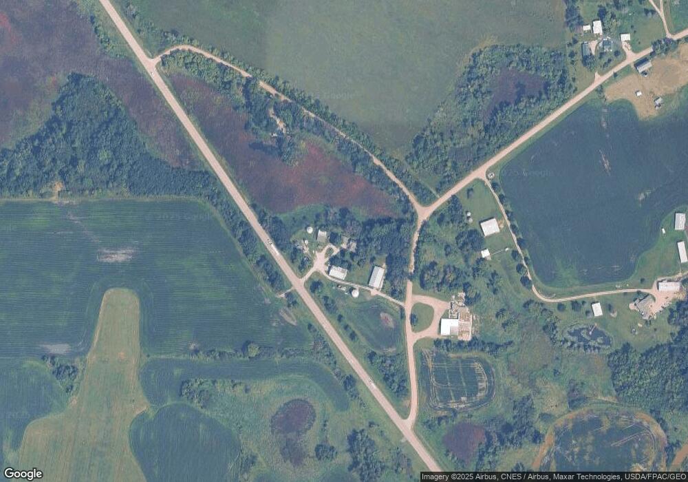
17435 Shieldsville Blvd Faribault, MN 55021
Estimated Value: $542,000 - $609,000
4
Beds
1
Bath
1,678
Sq Ft
$343/Sq Ft
Est. Value
About This Home
This home is located at 17435 Shieldsville Blvd, Faribault, MN 55021 and is currently estimated at $574,945, approximately $342 per square foot. 17435 Shieldsville Blvd is a home located in Rice County with nearby schools including Lincoln Elementary School, Faribault Middle School, and Faribault Senior High School.
Ownership History
Date
Name
Owned For
Owner Type
Purchase Details
Closed on
Oct 30, 2024
Sold by
Perron Lawrence P and Perron Julie M
Bought by
Lawrence P Perron Trust and Julie M Perron Trust
Current Estimated Value
Purchase Details
Closed on
Aug 20, 2024
Sold by
Perron Lawrence P and Perron Julie M
Bought by
Perron Lawrence P and Perron Julie M
Create a Home Valuation Report for This Property
The Home Valuation Report is an in-depth analysis detailing your home's value as well as a comparison with similar homes in the area
Home Values in the Area
Average Home Value in this Area
Purchase History
| Date | Buyer | Sale Price | Title Company |
|---|---|---|---|
| Lawrence P Perron Trust | $500 | None Listed On Document | |
| Perron Lawrence P | $500 | None Listed On Document |
Source: Public Records
Tax History Compared to Growth
Tax History
| Year | Tax Paid | Tax Assessment Tax Assessment Total Assessment is a certain percentage of the fair market value that is determined by local assessors to be the total taxable value of land and additions on the property. | Land | Improvement |
|---|---|---|---|---|
| 2025 | $2,022 | $516,200 | $291,800 | $224,400 |
| 2024 | $2,022 | $455,300 | $260,700 | $194,600 |
| 2023 | $1,734 | $455,300 | $260,700 | $194,600 |
| 2022 | $1,558 | $390,300 | $213,600 | $176,700 |
| 2021 | $1,478 | $331,000 | $181,600 | $149,400 |
| 2020 | $1,378 | $323,100 | $181,600 | $141,500 |
| 2019 | $1,268 | $326,100 | $188,400 | $137,700 |
| 2018 | $1,276 | $300,900 | $178,300 | $122,600 |
| 2017 | $1,346 | $295,900 | $178,300 | $117,600 |
| 2016 | $1,366 | $288,200 | $178,300 | $109,900 |
| 2015 | $1,290 | $285,700 | $178,300 | $107,400 |
| 2014 | -- | $284,700 | $178,300 | $106,400 |
Source: Public Records
Map
Nearby Homes
- 2312 Becker Trail
- 16810 Bagley Ave
- 3236 Ramsey St
- 2700 Hanson Ave
- 3219 Ramsey St
- 3230 Graham St
- 2605 Hanson Ave
- 1940 30th St NW
- 2714 Village Dr
- 18221 Roberds Lake Blvd
- 2713 Village Dr
- 2924 Lavender Pkwy
- 1501 Greenleaf Rd
- 6 Greenhaven Bay
- 822 30th St NW
- 3120 Acorn Trail
- 3102 8th Ave NW
- 24 Greenhaven Bay
- 3110 8th Ave NW
- 19225 Belview Trail
- 17322 Big Stone Way
- 2241 Becker Trail
- 2235 Becker Trail
- 17192 Shieldsville Blvd
- 16945 Shieldsville Blvd
- 17106 Shieldsville Blvd
- 26XX Airport Dr
- 26xx Airport Dr W
- xxxxx Bagley Ave
- 17028 Bagley Ave
- 27XX Airport Dr
- 17310 Canby Ave
- 17049 Bagley Ave
- 17925 Bagley Ave
- 17925 Bagley Ave
- 17925 Bagley Ave
- 2300 Airtech Dr
- 17925 Bagley Ave
- 17925 Bagley Ave
- 17925 Bagley Ave
