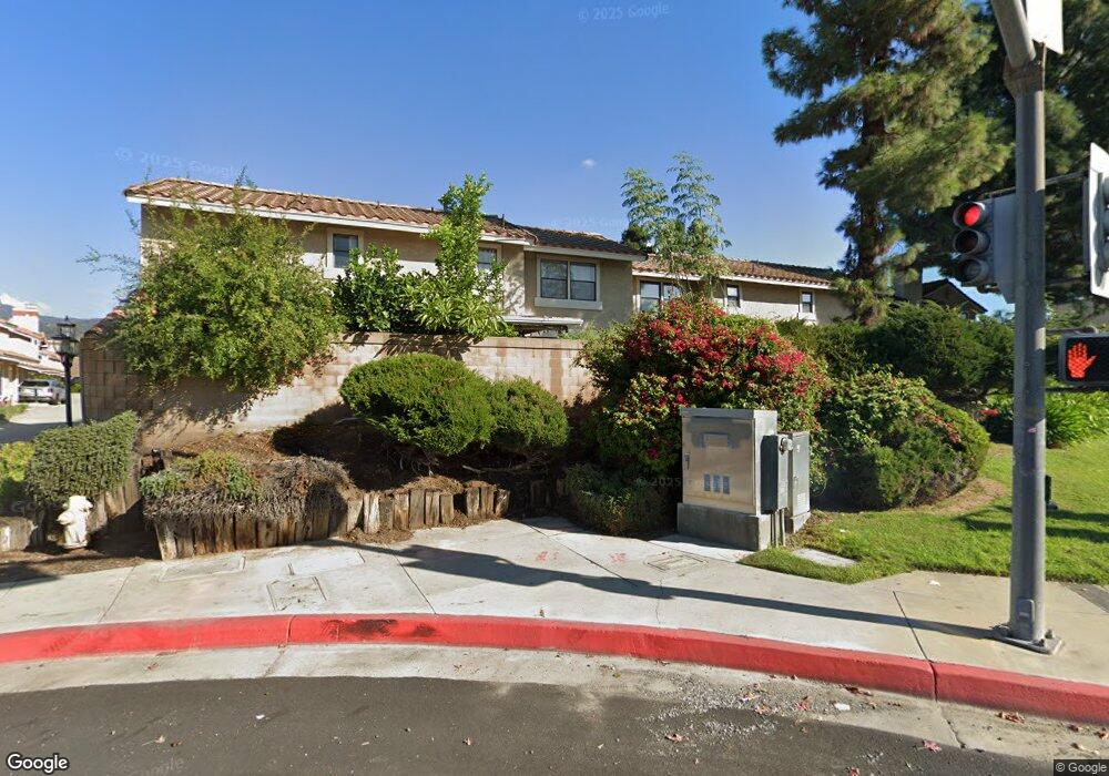
1747 Compromise Line Rd Unit 2 Glendora, CA 91741
South Glendora NeighborhoodEstimated Value: $594,000 - $652,059
3
Beds
3
Baths
1,426
Sq Ft
$444/Sq Ft
Est. Value
About This Home
This home is located at 1747 Compromise Line Rd Unit 2, Glendora, CA 91741 and is currently estimated at $632,765, approximately $443 per square foot. 1747 Compromise Line Rd Unit 2 is a home located in Los Angeles County with nearby schools including Sutherland Elementary School, Goddard Middle School, and Glendora High School.
Ownership History
Date
Name
Owned For
Owner Type
Purchase Details
Closed on
Feb 6, 2007
Sold by
Wibowo Luke and Wibowo Camelia
Bought by
Camelia Kamalsyah Wibowo Trust
Current Estimated Value
Purchase Details
Closed on
Apr 3, 2006
Sold by
Andrade Marty and Andrade Regina M
Bought by
Wibowo Luke
Home Financials for this Owner
Home Financials are based on the most recent Mortgage that was taken out on this home.
Original Mortgage
$336,000
Interest Rate
6.29%
Mortgage Type
Fannie Mae Freddie Mac
Create a Home Valuation Report for This Property
The Home Valuation Report is an in-depth analysis detailing your home's value as well as a comparison with similar homes in the area
Home Values in the Area
Average Home Value in this Area
Purchase History
| Date | Buyer | Sale Price | Title Company |
|---|---|---|---|
| Camelia Kamalsyah Wibowo Trust | -- | Accommodation | |
| Wibowo Luke | $420,000 | Southland Title |
Source: Public Records
Mortgage History
| Date | Status | Borrower | Loan Amount |
|---|---|---|---|
| Previous Owner | Wibowo Luke | $336,000 |
Source: Public Records
Tax History
| Year | Tax Paid | Tax Assessment Tax Assessment Total Assessment is a certain percentage of the fair market value that is determined by local assessors to be the total taxable value of land and additions on the property. | Land | Improvement |
|---|---|---|---|---|
| 2025 | $6,973 | $597,396 | $298,698 | $298,698 |
| 2024 | $6,973 | $585,684 | $292,842 | $292,842 |
| 2023 | $6,023 | $496,492 | $233,798 | $262,694 |
| 2022 | $5,909 | $486,758 | $229,214 | $257,544 |
| 2021 | $5,808 | $477,215 | $224,720 | $252,495 |
| 2019 | $5,484 | $463,061 | $218,055 | $245,006 |
| 2018 | $5,362 | $453,982 | $213,780 | $240,202 |
| 2016 | $5,146 | $436,356 | $205,480 | $230,876 |
| 2015 | $4,936 | $421,100 | $198,200 | $222,900 |
| 2014 | $4,439 | $369,000 | $173,700 | $195,300 |
Source: Public Records
Map
Nearby Homes
- 451 Sellers St Unit 29
- 138 S Hacienda Ave
- 112 S Hacienda Ave
- 1258 Cossacks Place
- 2010 E Route 66
- 2022 E Route 66
- 705 Beaverbrook Ln
- 831 Hunters Trail
- 2030 E Linfield St
- 2016 Driftstone Dr
- 1951 Cobblefield Way Unit 4
- 1126 E Ada Ave
- 1114 E Lemon Ave
- 2269 Shady Oaks Rd
- 1241 E Mountain View Ave
- 1449 E Bennett Ave
- 2208 E Linfield St
- 1060 E Route 66
- 137 N Burnaby Ave
- 2290 Redwood Dr
- 1733 Compromise Line Rd Unit 9
- 1747 Compromise Line Rd
- 1739 Compromise Line Rd
- 1739 Compromise Line Rd Unit 6
- 1747 Compromise Line Rd Unit 2
- 1733 Compromise Line Rd
- 1743 Compromise Line Rd
- 1727 Compromise Line Rd
- 1733 Compromise Line Rd
- 1739 Compromise Line Rd Unit 6
- 1743 Compromise Line Rd Unit 4
- 1737 Compromise Line Rd Unit 7
- 1729 Compromise Line Rd
- 1731 Compromise Line Rd
- 1735 Compromise Line Rd
- 1741 Compromise Line Rd
- 1730 Manor Ln
- 1717 Compromise Line Rd Unit 17
- 1713 Compromise Line Rd Unit 19
- 1717 Compromise Line Rd
Your Personal Tour Guide
Ask me questions while you tour the home.