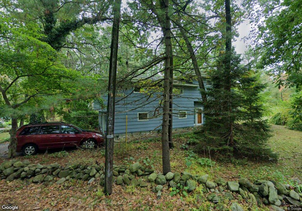
175 High Plain Rd Andover, MA 01810
West Andover NeighborhoodEstimated Value: $968,000 - $1,061,000
4
Beds
4
Baths
2,853
Sq Ft
$357/Sq Ft
Est. Value
About This Home
This home is located at 175 High Plain Rd, Andover, MA 01810 and is currently estimated at $1,018,118, approximately $356 per square foot. 175 High Plain Rd is a home located in Essex County with nearby schools including West Elementary School, Wood Hill Middle School, and Andover High School.
Ownership History
Date
Name
Owned For
Owner Type
Purchase Details
Closed on
Sep 7, 2005
Sold by
Scully Richard C and Cobb Deborah L
Bought by
Benjamin-Fauconier Sharon and Fauconier Richard
Current Estimated Value
Home Financials for this Owner
Home Financials are based on the most recent Mortgage that was taken out on this home.
Original Mortgage
$440,000
Outstanding Balance
$234,513
Interest Rate
5.79%
Mortgage Type
Purchase Money Mortgage
Estimated Equity
$783,605
Purchase Details
Closed on
Jun 18, 1990
Sold by
Ahouse Harriet H
Bought by
Scully Richard C
Home Financials for this Owner
Home Financials are based on the most recent Mortgage that was taken out on this home.
Original Mortgage
$170,000
Interest Rate
10.54%
Mortgage Type
Purchase Money Mortgage
Create a Home Valuation Report for This Property
The Home Valuation Report is an in-depth analysis detailing your home's value as well as a comparison with similar homes in the area
Home Values in the Area
Average Home Value in this Area
Purchase History
| Date | Buyer | Sale Price | Title Company |
|---|---|---|---|
| Benjamin-Fauconier Sharon | $550,000 | -- | |
| Scully Richard C | $250,000 | -- |
Source: Public Records
Mortgage History
| Date | Status | Borrower | Loan Amount |
|---|---|---|---|
| Open | Benjamin-Fauconier Sharon | $440,000 | |
| Previous Owner | Scully Richard C | $150,000 | |
| Previous Owner | Scully Richard C | $100,000 | |
| Previous Owner | Scully Richard C | $168,600 | |
| Previous Owner | Scully Richard C | $170,000 |
Source: Public Records
Tax History
| Year | Tax Paid | Tax Assessment Tax Assessment Total Assessment is a certain percentage of the fair market value that is determined by local assessors to be the total taxable value of land and additions on the property. | Land | Improvement |
|---|---|---|---|---|
| 2024 | $10,072 | $782,000 | $451,600 | $330,400 |
| 2023 | $9,559 | $699,800 | $406,700 | $293,100 |
| 2022 | $8,858 | $606,700 | $360,100 | $246,600 |
| 2021 | $8,472 | $554,100 | $327,300 | $226,800 |
| 2020 | $8,126 | $541,400 | $319,500 | $221,900 |
| 2019 | $7,768 | $508,700 | $301,200 | $207,500 |
| 2018 | $7,435 | $475,400 | $284,200 | $191,200 |
| 2017 | $7,106 | $468,100 | $278,500 | $189,600 |
| 2016 | $6,673 | $450,300 | $260,700 | $189,600 |
| 2015 | $6,433 | $429,700 | $250,700 | $179,000 |
Source: Public Records
Map
Nearby Homes
- 54 Birch Rd
- 6 Exeter Way
- 20 Robert Dr Unit 20
- 58 Chandler Rd
- 4 Weeping Willow Dr
- 5 Weeping Willow Dr
- 2 Weeping Willow Dr
- 22 Bobby Jones Dr
- 241 Lowell St Unit 3
- 31 Crenshaw Ln Unit 31
- 37 Crenshaw Ln Unit 37
- 25 Clubview Dr Unit 25
- 9 Oakland Rd
- 40 Chandler Cir
- 29 Westchester Dr
- 5 Crestwood Cir
- 2 Boardwalk Dr
- 21 Clubview Dr Unit 21
- 0
- 15 Geneva Rd
- 177 High Plain Rd
- 7 Gleason St
- 8 Gleason St
- 169 High Plain Rd
- 11 Gleason St
- 176 High Plain Rd
- 174 High Plain Rd
- 180 High Plain Rd
- 14 Gleason St
- 172 High Plain Rd
- 63 Juniper Rd
- 16 Woodhaven Dr
- 15 Gleason St
- 185 High Plain Rd
- 184 High Plain Rd
- 18 Gleason St
- 18 Woodhaven Dr
- 168 High Plain Rd
- 14 Woodhaven Dr
- 61 Juniper Rd
Your Personal Tour Guide
Ask me questions while you tour the home.