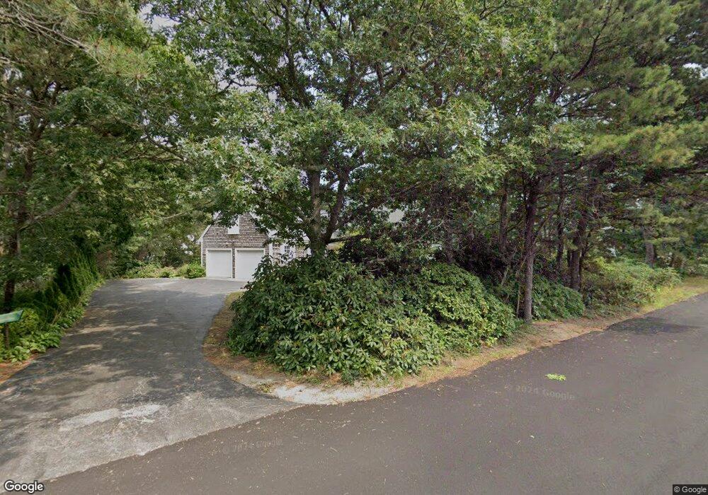
175 Quail Cover Ln Eastham, MA 02642
Estimated Value: $860,124 - $957,000
5
Beds
3
Baths
2,172
Sq Ft
$413/Sq Ft
Est. Value
About This Home
This home is located at 175 Quail Cover Ln, Eastham, MA 02642 and is currently estimated at $897,781, approximately $413 per square foot. 175 Quail Cover Ln is a home located in Barnstable County with nearby schools including Eastham Elementary School, Nauset Regional Middle School, and Nauset Regional High School.
Ownership History
Date
Name
Owned For
Owner Type
Purchase Details
Closed on
Nov 21, 2024
Sold by
J L & Emily J Roosa Ret and Roosa
Bought by
Roosa Gary E
Current Estimated Value
Purchase Details
Closed on
Jun 16, 2021
Sold by
Emily J Roosa Ret and Roosa
Bought by
J L & Emily J Roosa Ret and Roosa
Create a Home Valuation Report for This Property
The Home Valuation Report is an in-depth analysis detailing your home's value as well as a comparison with similar homes in the area
Home Values in the Area
Average Home Value in this Area
Purchase History
| Date | Buyer | Sale Price | Title Company |
|---|---|---|---|
| Roosa Gary E | -- | None Available | |
| J L & Emily J Roosa Ret | -- | None Available | |
| J L & Emily J Roosa Ret | -- | None Available |
Source: Public Records
Tax History
| Year | Tax Paid | Tax Assessment Tax Assessment Total Assessment is a certain percentage of the fair market value that is determined by local assessors to be the total taxable value of land and additions on the property. | Land | Improvement |
|---|---|---|---|---|
| 2025 | $6,315 | $819,100 | $265,100 | $554,000 |
| 2024 | $5,576 | $795,400 | $257,400 | $538,000 |
| 2023 | $4,922 | $679,800 | $238,300 | $441,500 |
| 2022 | $4,542 | $529,400 | $212,800 | $316,600 |
| 2021 | $4,450 | $484,800 | $193,400 | $291,400 |
| 2020 | $4,098 | $470,000 | $197,400 | $272,600 |
| 2019 | $3,766 | $456,500 | $191,700 | $264,800 |
| 2018 | $3,729 | $446,600 | $186,100 | $260,500 |
| 2017 | $3,459 | $437,800 | $182,400 | $255,400 |
| 2016 | $3,021 | $406,000 | $155,100 | $250,900 |
| 2015 | $2,831 | $398,800 | $152,000 | $246,800 |
Source: Public Records
Map
Nearby Homes
- 115 Wamsutta Rd
- 5470 State Hwy
- 100 Gigi Ln
- 495 Aspinet Rd
- 18 Jay Dee Ln
- 80 Quason Dr
- 35 Wiley Ln
- 20 Oak Rd
- 46 Spring Brook Rd
- 190 Silver Spring Beach Rd
- 255 Epanow Rd
- 65 Harmes Way
- 255 Massasoit Rd
- 85 Huckleberry Ln
- 10 Field Rd
- 205 Blue Heron Rd
- 90 Ring Rd
- 82 Old Orchard Rd
- 157 Brownell Rd
- 245 Nauset Light Beach Rd
- 205 Quail Cover Ln
- 155 Quail Cover Ln
- 65 Quail Cover Ln
- 4 Quarterboard Ln
- 45 Quail Cover Ln
- 160 Quail Cover Ln
- 235 Quail Cover Ln
- 210 Quail Cover Ln
- 140 Quail Cover Ln
- 3 Quarterboard Ln
- 2 Quarterboard Ln
- 90 Quail Cover Ln
- 115 Leeward Way
- 60 Quail Cover Ln
- 125 Leeward Way
- 120 Quail Cover Ln
- 40 N Sunken Meadow Rd
- 230 Quail Cover Ln
- 40 Quail Cover Ln
- 255 Quail Cover Ln
Your Personal Tour Guide
Ask me questions while you tour the home.