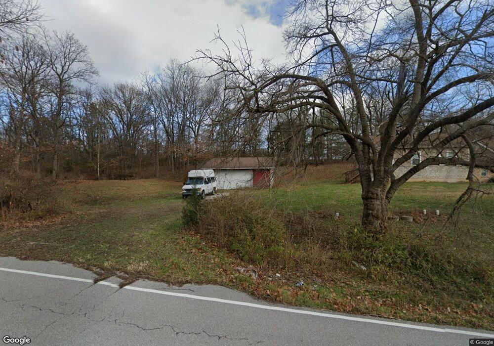
1752 Koch Rd O Fallon, MO 63366
Estimated Value: $393,000 - $554,000
3
Beds
2
Baths
1,784
Sq Ft
$269/Sq Ft
Est. Value
About This Home
This home is located at 1752 Koch Rd, O Fallon, MO 63366 and is currently estimated at $479,229, approximately $268 per square foot. 1752 Koch Rd is a home located in St. Charles County with nearby schools including Mount Hope Elementary School, Fort Zumwalt North Middle School, and Fort Zumwalt North High School.
Ownership History
Date
Name
Owned For
Owner Type
Purchase Details
Closed on
Oct 5, 2012
Sold by
Bruck Paul J and Bruck Victoria L
Bought by
Lovasco Anthony F
Current Estimated Value
Home Financials for this Owner
Home Financials are based on the most recent Mortgage that was taken out on this home.
Original Mortgage
$197,200
Outstanding Balance
$129,893
Interest Rate
2.5%
Mortgage Type
New Conventional
Estimated Equity
$349,337
Purchase Details
Closed on
Feb 23, 2000
Sold by
Crader Donald J and Crader Sharon M
Bought by
Bruck Paul J and Bruck Victoria L
Home Financials for this Owner
Home Financials are based on the most recent Mortgage that was taken out on this home.
Original Mortgage
$131,100
Interest Rate
8.19%
Create a Home Valuation Report for This Property
The Home Valuation Report is an in-depth analysis detailing your home's value as well as a comparison with similar homes in the area
Home Values in the Area
Average Home Value in this Area
Purchase History
| Date | Buyer | Sale Price | Title Company |
|---|---|---|---|
| Lovasco Anthony F | $246,500 | Ust | |
| Bruck Paul J | -- | -- |
Source: Public Records
Mortgage History
| Date | Status | Borrower | Loan Amount |
|---|---|---|---|
| Open | Lovasco Anthony F | $197,200 | |
| Previous Owner | Bruck Paul J | $131,100 |
Source: Public Records
Tax History
| Year | Tax Paid | Tax Assessment Tax Assessment Total Assessment is a certain percentage of the fair market value that is determined by local assessors to be the total taxable value of land and additions on the property. | Land | Improvement |
|---|---|---|---|---|
| 2025 | $4,337 | $79,035 | -- | -- |
| 2023 | $4,335 | $71,052 | $0 | $0 |
| 2022 | $4,130 | $63,035 | $0 | $0 |
| 2021 | $4,127 | $63,035 | $0 | $0 |
| 2020 | $3,864 | $57,067 | $0 | $0 |
| 2019 | $3,851 | $57,067 | $0 | $0 |
| 2018 | $3,700 | $52,445 | $0 | $0 |
| 2017 | $3,680 | $52,445 | $0 | $0 |
| 2016 | $2,875 | $40,898 | $0 | $0 |
| 2015 | $2,663 | $40,898 | $0 | $0 |
| 2014 | $2,723 | $40,812 | $0 | $0 |
Source: Public Records
Map
Nearby Homes
- 3.59 Acres Matteson Blvd
- 7.19 Acres Matteson Blvd
- 3.6 Acres Matteson Blvd
- 765 Koch Rd
- 1373 New Charter Ln
- 214 Maryland Dr Unit 26B
- 12 Summer Ct
- 1314 Woodgrove Park Dr
- 34 Logan Crossing Cir
- 487 Chatham Dr
- 231 England Dr
- 1358 Deerfield Estates Dr
- 1818 Sapling Dr
- 1550 Hunters Meadow Dr
- 730 Homerun Dr Unit 76N
- 1110 Cypress Dr
- 6 S Boxwood Ln
- 2837 Grand Slam Dr
- 1102 Danielle Elizabeth Ct
- 634 Homerun Dr Unit 34N
Your Personal Tour Guide
Ask me questions while you tour the home.