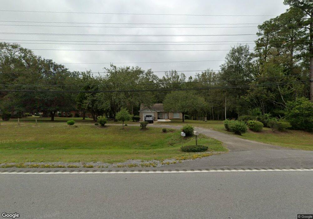
17533 Highway 63 Moss Point, MS 39562
Estimated Value: $113,347 - $302,000
Studio
2
Baths
1,016
Sq Ft
$186/Sq Ft
Est. Value
About This Home
This home is located at 17533 Highway 63, Moss Point, MS 39562 and is currently estimated at $189,337, approximately $186 per square foot. 17533 Highway 63 is a home located in Jackson County with nearby schools including East Central Lower Elementary School, East Central Upper Elementary School, and East Central Middle School.
Ownership History
Date
Name
Owned For
Owner Type
Purchase Details
Closed on
Feb 23, 2023
Sold by
Cumbest Skylar
Bought by
Cumbest Kaelee A
Current Estimated Value
Home Financials for this Owner
Home Financials are based on the most recent Mortgage that was taken out on this home.
Original Mortgage
$1,500
Interest Rate
5.2%
Create a Home Valuation Report for This Property
The Home Valuation Report is an in-depth analysis detailing your home's value as well as a comparison with similar homes in the area
Purchase History
| Date | Buyer | Sale Price | Title Company |
|---|---|---|---|
| Cumbest Kaelee A | -- | Island Winds Title | |
| Cumbest Kaelee A | -- | Island Winds Title |
Source: Public Records
Mortgage History
| Date | Status | Borrower | Loan Amount |
|---|---|---|---|
| Closed | Cumbest Kaelee A | $1,500 | |
| Open | Cumbest Kaelee A | $128,000 | |
| Closed | Cumbest Kaelee A | $128,000 |
Source: Public Records
Tax History
| Year | Tax Paid | Tax Assessment Tax Assessment Total Assessment is a certain percentage of the fair market value that is determined by local assessors to be the total taxable value of land and additions on the property. | Land | Improvement |
|---|---|---|---|---|
| 2025 | $1,344 | $11,308 | $1,199 | $10,109 |
| 2024 | $1,344 | $9,681 | $1,166 | $8,515 |
| 2023 | $1,162 | $9,681 | $1,166 | $8,515 |
| 2022 | $753 | $6,454 | $777 | $5,677 |
| 2021 | $1,140 | $9,777 | $1,166 | $8,611 |
| 2020 | $0 | $6,201 | $720 | $5,481 |
| 2019 | $0 | $6,201 | $720 | $5,481 |
| 2018 | $0 | $6,201 | $720 | $5,481 |
| 2017 | $0 | $6,201 | $720 | $5,481 |
| 2016 | $0 | $6,201 | $720 | $5,481 |
| 2015 | -- | $57,750 | $7,200 | $50,550 |
| 2014 | -- | $5,968 | $720 | $5,248 |
| 2013 | -- | $5,968 | $720 | $5,248 |
Source: Public Records
Map
Nearby Homes
- 17209 Red Top Ln
- 19500 Angel Ln
- 19506 Highway 63
- 3016 Ed Parker Rd
- 0 Grafe Homestead Rd Unit 4137349
- 20700 Cameron Ln
- 13875 Wolf Ridge Rd Unit LotWP001
- 0 Dr Unit 4052148
- 7201 Bentwood Dr
- 0 River Walk Dr
- Tbd Hurley Wade Rd
- 26.1 Acres Brinkman Rd E
- 0 River Place Unit 4143478
- Lot 111 River Place
- 0 R B Dickerson Rd
- 7521 Townsite Rd
- 0 River Bluffs Lot 33 Dr
- 2337 Connors Blvd
- 2212 Sampras Blvd
- 0 Perry St
- 2721 Vaughn Rd
- 17601 Highway 63
- 17511 Della Roper Rd
- 17618 Highway 63
- 17604 Highway 63
- 17604 Highway 63
- 17504 Highway 63
- 17425 Della Roper Rd
- 2820 Neelia Cumbest Rd
- 17440 Highway 63
- 2811 Neelia Cumbest Rd
- 17421 Della Roper Rd
- 2621 Vaughn Rd
- 2627 Vaughn Rd
- 17420 Highway 63
- 17422 Highway 63
- 17409 Della Roper Rd
- 17428 Highway 63
- 2911 Neelia Cumbest Rd
- 17721 Highway 63
Your Personal Tour Guide
Ask me questions while you tour the home.