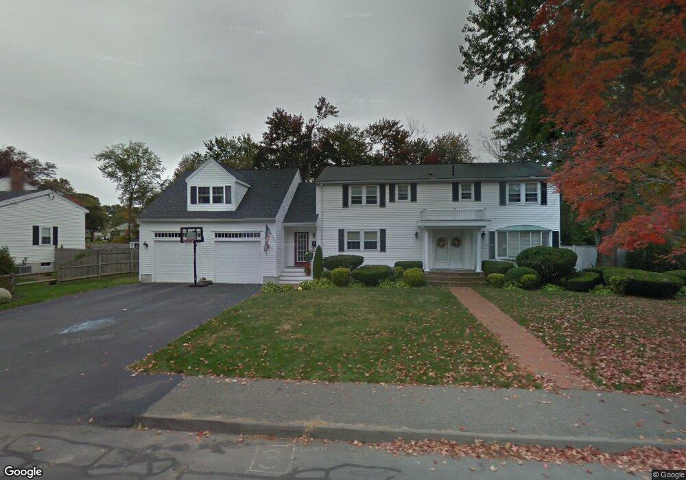
176 Cain Ave Braintree, MA 02184
Braintree Highlands NeighborhoodEstimated Value: $1,003,617 - $1,190,000
4
Beds
3
Baths
2,946
Sq Ft
$369/Sq Ft
Est. Value
About This Home
This home is located at 176 Cain Ave, Braintree, MA 02184 and is currently estimated at $1,087,654, approximately $369 per square foot. 176 Cain Ave is a home located in Norfolk County with nearby schools including Braintree High School, Boston Higashi School, and Lighthouse Baptist Christian Academy.
Ownership History
Date
Name
Owned For
Owner Type
Purchase Details
Closed on
Apr 15, 2005
Sold by
176 Cain Avenue Rt
Bought by
Burchill Kevin and Burchill Kristen
Current Estimated Value
Home Financials for this Owner
Home Financials are based on the most recent Mortgage that was taken out on this home.
Original Mortgage
$300,000
Outstanding Balance
$154,813
Interest Rate
5.78%
Mortgage Type
Purchase Money Mortgage
Estimated Equity
$932,841
Create a Home Valuation Report for This Property
The Home Valuation Report is an in-depth analysis detailing your home's value as well as a comparison with similar homes in the area
Home Values in the Area
Average Home Value in this Area
Purchase History
| Date | Buyer | Sale Price | Title Company |
|---|---|---|---|
| Burchill Kevin | $490,000 | -- |
Source: Public Records
Mortgage History
| Date | Status | Borrower | Loan Amount |
|---|---|---|---|
| Open | Burchill Kevin | $300,000 |
Source: Public Records
Tax History Compared to Growth
Tax History
| Year | Tax Paid | Tax Assessment Tax Assessment Total Assessment is a certain percentage of the fair market value that is determined by local assessors to be the total taxable value of land and additions on the property. | Land | Improvement |
|---|---|---|---|---|
| 2025 | $8,823 | $884,100 | $415,200 | $468,900 |
| 2024 | $7,851 | $828,200 | $382,400 | $445,800 |
| 2023 | $7,533 | $771,800 | $349,600 | $422,200 |
| 2022 | $7,245 | $728,100 | $305,900 | $422,200 |
| 2021 | $6,716 | $675,000 | $276,400 | $398,600 |
| 2020 | $6,408 | $649,900 | $251,300 | $398,600 |
| 2019 | $6,183 | $612,800 | $251,300 | $361,500 |
| 2018 | $5,962 | $565,700 | $218,500 | $347,200 |
| 2017 | $5,806 | $540,600 | $207,600 | $333,000 |
| 2016 | $5,611 | $511,000 | $196,700 | $314,300 |
| 2015 | $5,476 | $494,700 | $192,300 | $302,400 |
| 2014 | $5,166 | $452,400 | $167,200 | $285,200 |
Source: Public Records
Map
Nearby Homes
- 104 Milton Rd
- 16 Winthrop Ave
- 29 Woodedge Ave
- 1501 Liberty St
- 1696 Liberty St
- 61 Woodside Ave
- 44 Arlington Ave
- 1579 Washington St
- 184 Richard Rd
- 373 N Franklin St
- 115 Richard Rd
- 117 Amherst Rd
- 187 Belcher St
- 661 North St
- 30 Bradford Commons Ln
- 7 Scannell Rd
- 700 North St
- 14 Elm Ave
- 134 Tyson Commons Ln
- 148 N Franklin St