17601 563rd Ln Good Thunder, MN 56037
Estimated Value: $261,000 - $437,000
3
Beds
2
Baths
1,404
Sq Ft
$238/Sq Ft
Est. Value
About This Home
This home is located at 17601 563rd Ln, Good Thunder, MN 56037 and is currently estimated at $334,074, approximately $237 per square foot. 17601 563rd Ln is a home located in Blue Earth County with nearby schools including Lake Crystal Wellcome Memorial Elementary School and Lake Crystal Wellcome Memorial Secondary School.
Ownership History
Date
Name
Owned For
Owner Type
Purchase Details
Closed on
May 6, 2021
Sold by
Hoffman Jason J and Hoffman Hana F
Bought by
Hoffman Jason J and Hoffman Hana F
Current Estimated Value
Purchase Details
Closed on
Apr 21, 2011
Sold by
Suserud John M
Bought by
Hoffman Jason J
Home Financials for this Owner
Home Financials are based on the most recent Mortgage that was taken out on this home.
Original Mortgage
$90,642
Interest Rate
4.75%
Mortgage Type
FHA
Create a Home Valuation Report for This Property
The Home Valuation Report is an in-depth analysis detailing your home's value as well as a comparison with similar homes in the area
Home Values in the Area
Average Home Value in this Area
Purchase History
| Date | Buyer | Sale Price | Title Company |
|---|---|---|---|
| Hoffman Jason J | -- | Title Resources | |
| Hoffman Jason J | $93,000 | -- |
Source: Public Records
Mortgage History
| Date | Status | Borrower | Loan Amount |
|---|---|---|---|
| Previous Owner | Hoffman Jason J | $90,642 |
Source: Public Records
Tax History Compared to Growth
Tax History
| Year | Tax Paid | Tax Assessment Tax Assessment Total Assessment is a certain percentage of the fair market value that is determined by local assessors to be the total taxable value of land and additions on the property. | Land | Improvement |
|---|---|---|---|---|
| 2025 | $1,788 | $280,600 | $128,500 | $152,100 |
| 2024 | $1,788 | $252,800 | $113,800 | $139,000 |
| 2023 | $1,856 | $260,200 | $113,800 | $146,400 |
| 2022 | $1,842 | $247,800 | $110,800 | $137,000 |
| 2021 | $1,666 | $218,500 | $110,700 | $107,800 |
| 2020 | $1,606 | $194,200 | $95,900 | $98,300 |
| 2019 | $1,660 | $194,200 | $95,900 | $98,300 |
| 2018 | $1,526 | $198,100 | $95,600 | $102,500 |
| 2017 | $1,424 | $193,700 | $95,900 | $97,800 |
| 2016 | $970 | $184,400 | $95,900 | $88,500 |
| 2015 | $9 | $131,900 | $81,700 | $50,200 |
| 2014 | $1,074 | $123,200 | $72,500 | $50,700 |
Source: Public Records
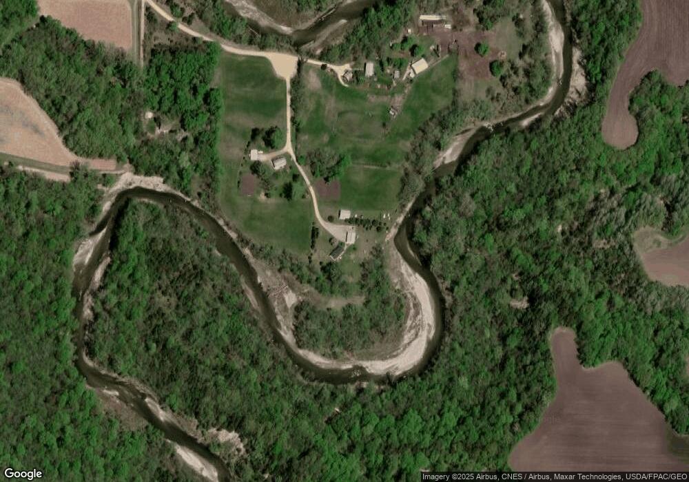
Map
Nearby Homes
- 120 Mapleridge Dr
- 3136 River Meadows Dr
- 57396 181st Ln
- 57868 179th St
- 16280 552nd Ave
- 16225 563rd Ave
- 277 Red Ridge Rd
- 210 N Halladay St
- 217 S Houk St
- 721 Main St
- 331 S Ewing St
- 0 Tbd E 161st St
- E Tbd
- 55807 River Fort Dr
- TBD 583rd Ln
- 55856 River Fort Dr
- 0 Tbd South Brook Way
- 20206 Monks Ave
- 213 Rosewood Dr
- TBD S Brook Way
- 17616 563rd Ln
- 17656 563rd Ln
- 17613 563rd Ln
- 17528 567th Ave
- 56482 173rd Ln
- 56506 177th Ln
- 17738 563rd Ln
- 17815 563rd Ln
- 55903 174th Ln
- 55897 174th Ln
- 56634 177th Ln
- 56424 171st St
- 56702 177th St
- 56299 179th St
- 17059 564th Ave
- 56407 179th St
- 56463 179th St
- 56159 179th St
- 17269 Old Hwy 66
- 56352 179th St