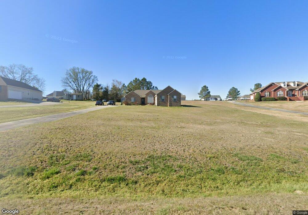
177 John Michael Dr Macon, GA 31211
Estimated Value: $199,000 - $252,000
Studio
2
Baths
2,444
Sq Ft
$92/Sq Ft
Est. Value
About This Home
This home is located at 177 John Michael Dr, Macon, GA 31211 and is currently estimated at $226,031, approximately $92 per square foot. 177 John Michael Dr is a home located in Jones County with nearby schools including Mattie Wells Elementary School, Clifton Ridge Middle School, and Jones County High School.
Ownership History
Date
Name
Owned For
Owner Type
Purchase Details
Closed on
Jun 20, 2023
Sold by
Sherard Christina
Bought by
Sherard Christina and Sherard Christopher
Current Estimated Value
Purchase Details
Closed on
Oct 16, 2008
Sold by
Farley Mary
Bought by
Sherard Christina N
Home Financials for this Owner
Home Financials are based on the most recent Mortgage that was taken out on this home.
Original Mortgage
$125,693
Interest Rate
5.78%
Mortgage Type
FHA
Create a Home Valuation Report for This Property
The Home Valuation Report is an in-depth analysis detailing your home's value as well as a comparison with similar homes in the area
Purchase History
| Date | Buyer | Sale Price | Title Company |
|---|---|---|---|
| Sherard Christina | -- | -- | |
| Sherard Christina N | $127,000 | -- |
Source: Public Records
Mortgage History
| Date | Status | Borrower | Loan Amount |
|---|---|---|---|
| Previous Owner | Sherard Christina N | $125,693 |
Source: Public Records
Tax History
| Year | Tax Paid | Tax Assessment Tax Assessment Total Assessment is a certain percentage of the fair market value that is determined by local assessors to be the total taxable value of land and additions on the property. | Land | Improvement |
|---|---|---|---|---|
| 2025 | -- | $118,718 | $11,232 | $107,486 |
| 2023 | $1,568 | $64,940 | $8,640 | $56,300 |
| 2022 | $2,036 | $60,369 | $8,640 | $51,729 |
| 2021 | $2,038 | $60,369 | $8,640 | $51,729 |
| 2020 | $2,039 | $60,369 | $8,640 | $51,729 |
| 2019 | $2,039 | $60,369 | $8,640 | $51,729 |
| 2018 | $2,039 | $60,369 | $8,640 | $51,729 |
| 2017 | $2,039 | $60,369 | $8,640 | $51,729 |
| 2016 | $2,039 | $60,369 | $8,640 | $51,729 |
| 2015 | $2,055 | $60,369 | $8,640 | $51,729 |
| 2014 | $1,922 | $61,329 | $9,600 | $51,729 |
Source: Public Records
Map
Nearby Homes
- 225 Olivia Cir
- 3608 Joycliff Rd
- 227 Dusty Ln
- 687 Jasmine Dr
- 1030 Sun Valley Ct Unit C55
- 1030 Sun Valley Ct
- 118 Oakwood Dr
- 1034 Sun Valley Ct Unit C56
- 1034 Sun Valley Ct
- 1038 Sun Valley Ct Unit C57
- 1038 Sun Valley Ct
- 3462 Joycliff Rd
- 131 Sun Valley Dr
- 240 Neptune Ct
- 2815 New Clinton Rd
- 132 Spradley Dr
- 3614 Kingsview Dr
- 168 Ruby Dr
- 155 Alton Rd
- 0 Kings Ct N Unit 10666708
- 183 John Michael Dr
- 173 John Michael Dr
- 532 Dusty Ln
- 528 Dusty Ln
- 536 Dusty Ln
- 524 Dusty Ln
- 540 Dusty Ln
- 182 John Michael Dr
- 189 John Michael Dr
- 544 Dusty Ln
- 520 Dusty Ln
- 176 John Michael Dr
- 170 John Michael Dr
- 516 Dusty Ln
- 527 Dusty Ln
- 548 Dusty Ln
- 533 Dusty Ln
- 163 John Michael Dr
- 188 John Michael Dr
- 537 Dusty Ln
Your Personal Tour Guide
Ask me questions while you tour the home.