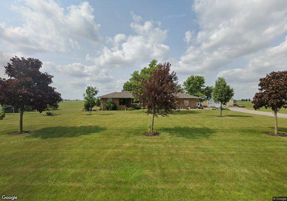
17723 Paulding Rd Monroeville, IN 46773
Estimated Value: $271,000 - $445,133
2
Beds
2
Baths
1,580
Sq Ft
$230/Sq Ft
Est. Value
About This Home
This home is located at 17723 Paulding Rd, Monroeville, IN 46773 and is currently estimated at $364,044, approximately $230 per square foot. 17723 Paulding Rd is a home located in Allen County with nearby schools including Heritage Junior/Senior High School.
Ownership History
Date
Name
Owned For
Owner Type
Purchase Details
Closed on
Apr 10, 2002
Sold by
Bowers Thomas Joseph
Bought by
Bowers Donald Paul
Current Estimated Value
Home Financials for this Owner
Home Financials are based on the most recent Mortgage that was taken out on this home.
Original Mortgage
$226,000
Interest Rate
6.82%
Purchase Details
Closed on
Jul 16, 2001
Sold by
Spangler Keith
Bought by
Bowers Thomas Joseph
Create a Home Valuation Report for This Property
The Home Valuation Report is an in-depth analysis detailing your home's value as well as a comparison with similar homes in the area
Home Values in the Area
Average Home Value in this Area
Purchase History
| Date | Buyer | Sale Price | Title Company |
|---|---|---|---|
| Bowers Donald Paul | -- | Three Rivers Title Company I | |
| Bowers Thomas Joseph | -- | -- |
Source: Public Records
Mortgage History
| Date | Status | Borrower | Loan Amount |
|---|---|---|---|
| Closed | Bowers Donald Paul | $226,000 |
Source: Public Records
Tax History Compared to Growth
Tax History
| Year | Tax Paid | Tax Assessment Tax Assessment Total Assessment is a certain percentage of the fair market value that is determined by local assessors to be the total taxable value of land and additions on the property. | Land | Improvement |
|---|---|---|---|---|
| 2024 | $5,724 | $364,300 | $120,500 | $243,800 |
| 2022 | $4,540 | $282,400 | $89,200 | $193,200 |
| 2021 | $4,219 | $234,800 | $80,700 | $154,100 |
| 2020 | $3,414 | $220,300 | $80,400 | $139,900 |
| 2019 | $3,665 | $231,600 | $91,600 | $140,000 |
| 2018 | $3,713 | $224,900 | $93,600 | $131,300 |
| 2017 | $4,028 | $233,300 | $107,600 | $125,700 |
| 2016 | $4,026 | $233,300 | $107,600 | $125,700 |
| 2014 | $3,953 | $232,500 | $111,200 | $121,300 |
| 2013 | $3,815 | $217,900 | $99,600 | $118,300 |
Source: Public Records
Map
Nearby Homes
- 19826 Howe Rd
- 19900 Dawkins Rd
- 318 W Barnhart St
- 214 Railroad St
- 10750 Bookcliff Cove
- 4701 Heathermoor Ln
- 5135 Buffay Ct
- 5065 Buffay Ct
- 5057 Buffay Ct
- 10302 Greenwood Lakes Dr
- 5011 Beechmont Ln
- 5048 Beechmont Ln
- 10325 Woodsong Cove
- 10216 Runabay Cove
- 5040 Beechmont Ln
- 5024 Beechmont Ln
- 5016 Beechmont Ln
- 1717 E Macgregor Dr
- 5008 Beechmont Ln
- 3818 Sun Stone Way
- 6135 Snyder Rd
- 18208 Paulding Rd
- 18745 Us Highway 30
- 5211 Snyder Rd
- 18228 Lincoln Hwy E
- 18256 Lincoln Hwy E
- 18146 Lincoln Hwy E
- 18136 Lincoln Hwy E
- 18310 Lincoln Hwy E
- 18126 Lincoln Hwy E
- 18308 Paulding Rd
- 18348 Lincoln Hwy E
- 18217 Lincoln Hwy E
- 18058 Lincoln Hwy E
- 18080 Lincoln Hwy E
- 18346 Lincoln Hwy E
- 18040 Lincoln Hwy E
- 18404 Lincoln Hwy E
- 18416 Lincoln Hwy E
- 18018 Lincoln Hwy E