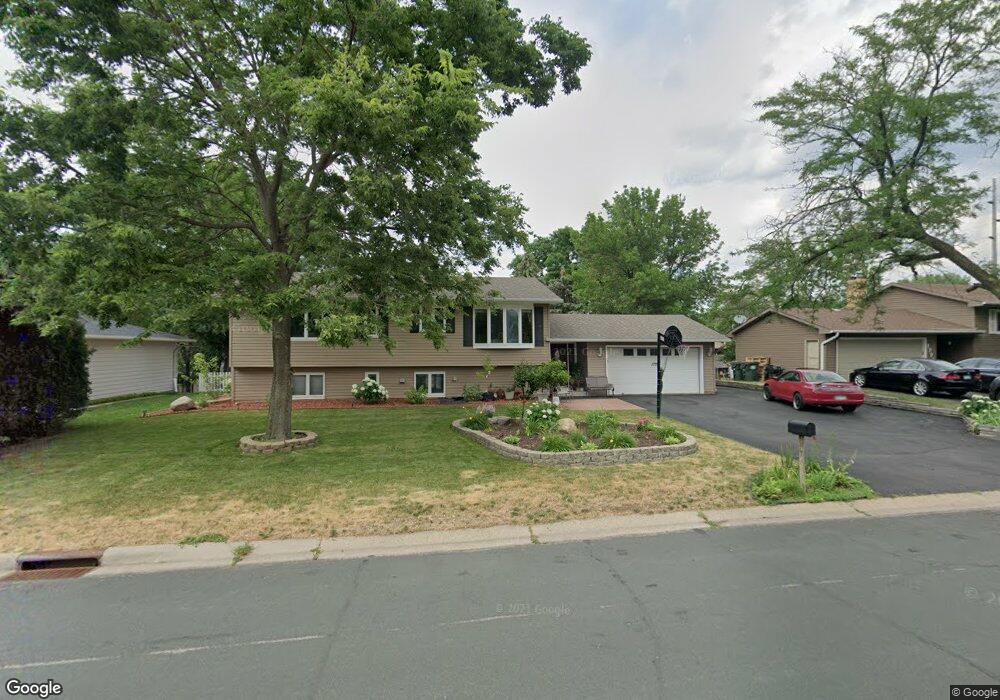
1775 Carnelian Ln Saint Paul, MN 55122
Estimated Value: $388,000 - $408,000
4
Beds
2
Baths
1,118
Sq Ft
$356/Sq Ft
Est. Value
About This Home
This home is located at 1775 Carnelian Ln, Saint Paul, MN 55122 and is currently estimated at $398,005, approximately $355 per square foot. 1775 Carnelian Ln is a home located in Dakota County with nearby schools including Burnsville High School, Becks Montessori, and Sunrise International Montessori School.
Ownership History
Date
Name
Owned For
Owner Type
Purchase Details
Closed on
Apr 30, 2007
Sold by
Whitehead Brandon and Whitehead Anna
Bought by
Bun Vanrith
Current Estimated Value
Purchase Details
Closed on
May 15, 2002
Sold by
Waldherr Michael J and Dowd Anne D
Bought by
Whitehead Brandon and Whitehead Anna
Purchase Details
Closed on
Oct 21, 1997
Sold by
Hanson Kenneth E and Hanson Doris
Bought by
Waldherr Michael Joseph and Waldherr Anne D
Create a Home Valuation Report for This Property
The Home Valuation Report is an in-depth analysis detailing your home's value as well as a comparison with similar homes in the area
Home Values in the Area
Average Home Value in this Area
Purchase History
| Date | Buyer | Sale Price | Title Company |
|---|---|---|---|
| Bun Vanrith | $260,800 | -- | |
| Whitehead Brandon | $200,000 | -- | |
| Waldherr Michael Joseph | $129,000 | -- |
Source: Public Records
Tax History Compared to Growth
Tax History
| Year | Tax Paid | Tax Assessment Tax Assessment Total Assessment is a certain percentage of the fair market value that is determined by local assessors to be the total taxable value of land and additions on the property. | Land | Improvement |
|---|---|---|---|---|
| 2024 | $3,400 | $356,400 | $85,700 | $270,700 |
| 2023 | $3,302 | $360,600 | $86,000 | $274,600 |
| 2022 | $2,920 | $344,800 | $85,800 | $259,000 |
| 2021 | $2,824 | $299,000 | $75,300 | $223,700 |
| 2020 | $2,870 | $274,300 | $71,700 | $202,600 |
| 2019 | $2,865 | $268,200 | $68,300 | $199,900 |
| 2018 | $2,600 | $257,400 | $65,000 | $192,400 |
| 2017 | $2,494 | $227,000 | $62,000 | $165,000 |
| 2016 | $2,417 | $218,200 | $59,000 | $159,200 |
| 2015 | $2,284 | $185,665 | $53,566 | $132,099 |
| 2014 | -- | $181,632 | $51,921 | $129,711 |
| 2013 | -- | $155,036 | $45,790 | $109,246 |
Source: Public Records
Map
Nearby Homes
- 4100 Meadowlark Ln
- 1781 Taconite Point
- 4055 Cinnabar Dr
- 1867 N Ruby Ct
- 1680 Oakbrooke Ct
- 3907 Mica Trail
- 3958 Riverton Ave
- 1949 N Ruby Ct
- 1902 Sapphire Point Unit 110
- 1914 Sapphire Point Unit 102
- 1924 Sapphire Point Unit 97
- 3933 Donegal Way
- 1880 Deer Hills Trail
- 4155 Durham Ct Unit 61
- 1865 Deer Hills Trail
- 3847 Lodestone Cir
- 1928 Turquoise Trail
- 4290 Blackhawk Rd
- 3895 Dolomite Dr
- 1928 Glenfield Ct Unit 14
- 1779 Carnelian Ln
- 1771 Carnelian Ln
- 1774 E Bluestone Dr
- 1778 E Bluestone Dr
- 4055 Blackhawk Rd
- 1783 Carnelian Ln
- 1782 E Bluestone Dr
- 1787 Carnelian Ln
- 4060 Blackhawk Rd
- 1775 E Bluestone Dr
- 4056 Blackhawk Rd
- 4070 Meadowlark Ln
- 4070 Meadowlark Ln Unit 14070
- 4072 Meadowlark Ln
- 4072 Meadowlark Ln Unit 14072
- 1779 E Bluestone Dr
- 4049 Blackhawk Rd
- 4074 Meadowlark Ln
- 4076 Meadowlark Ln
- 4078 Meadowlark Ln