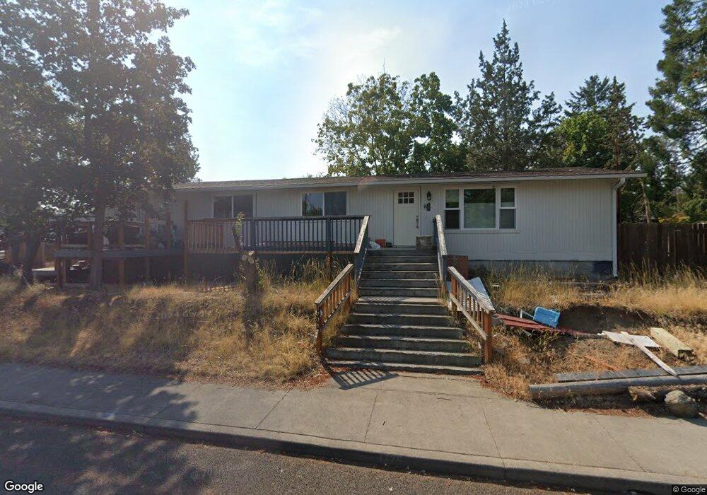
1775 NE Pheasant Ln Bend, OR 97701
Orchard District NeighborhoodEstimated Value: $469,000 - $580,000
3
Beds
2
Baths
1,554
Sq Ft
$336/Sq Ft
Est. Value
About This Home
This home is located at 1775 NE Pheasant Ln, Bend, OR 97701 and is currently estimated at $522,060, approximately $335 per square foot. 1775 NE Pheasant Ln is a home located in Deschutes County with nearby schools including Juniper Elementary School, Pilot Butte Middle School, and Bend Senior High School.
Ownership History
Date
Name
Owned For
Owner Type
Purchase Details
Closed on
Dec 29, 2021
Sold by
James Bailey Everett
Bought by
Greiner Carey Eugene
Current Estimated Value
Home Financials for this Owner
Home Financials are based on the most recent Mortgage that was taken out on this home.
Original Mortgage
$310,250
Outstanding Balance
$284,527
Interest Rate
3.05%
Mortgage Type
New Conventional
Estimated Equity
$237,533
Purchase Details
Closed on
Dec 17, 2003
Sold by
Bailey Dale Ivan
Bought by
Bailey Everett James
Home Financials for this Owner
Home Financials are based on the most recent Mortgage that was taken out on this home.
Original Mortgage
$57,500
Interest Rate
5.88%
Mortgage Type
Credit Line Revolving
Create a Home Valuation Report for This Property
The Home Valuation Report is an in-depth analysis detailing your home's value as well as a comparison with similar homes in the area
Home Values in the Area
Average Home Value in this Area
Purchase History
| Date | Buyer | Sale Price | Title Company |
|---|---|---|---|
| Greiner Carey Eugene | $365,000 | Western Title | |
| Bailey Everett James | -- | First Amer Title Ins Co Or |
Source: Public Records
Mortgage History
| Date | Status | Borrower | Loan Amount |
|---|---|---|---|
| Open | Greiner Carey Eugene | $310,250 | |
| Previous Owner | Bailey Everett James | $57,500 |
Source: Public Records
Tax History
| Year | Tax Paid | Tax Assessment Tax Assessment Total Assessment is a certain percentage of the fair market value that is determined by local assessors to be the total taxable value of land and additions on the property. | Land | Improvement |
|---|---|---|---|---|
| 2025 | $2,920 | $172,800 | -- | -- |
| 2024 | $2,809 | $167,770 | -- | -- |
| 2023 | $2,604 | $162,890 | $0 | $0 |
| 2022 | $2,430 | $153,550 | $0 | $0 |
| 2021 | $2,433 | $149,080 | $0 | $0 |
| 2020 | $2,309 | $149,080 | $0 | $0 |
| 2019 | $2,244 | $144,740 | $0 | $0 |
| 2018 | $2,181 | $140,530 | $0 | $0 |
| 2017 | $2,117 | $136,440 | $0 | $0 |
| 2016 | $2,019 | $132,470 | $0 | $0 |
| 2015 | $1,963 | $128,620 | $0 | $0 |
| 2014 | $1,905 | $124,880 | $0 | $0 |
Source: Public Records
Map
Nearby Homes
- 1801 NE Shadowcrest Way
- 1801 NE Purcell Blvd Unit 20
- 1696 NE Lotus Dr
- 1419 NE Lucinda Ct
- 2028 NE Patterson Cir
- 2101 NE Holliday Ave
- 2701 NE Canyon Park Place
- 2109 NE 11th Place
- 1407 NE Talon Ct
- 2667 NE Jones Rd
- 2640 NE 8th St
- 2508 NE Buckwheat Ct
- 2325 NE Wintergreen Dr
- 2382 NE Jackson Ave
- 1420 NE Sharkey Terrace
- 2260 NE Indigo Ln
- 1050 NE Butler Market Rd Unit 36
- 832 NE Revere Ave
- 1532 NE 9th St
- 980 NE Norton Ave Unit Lot 8
- 2051 NE Bluebird Ct
- 2043 NE Bluebird Ct
- 2142 NE Meadow Ln
- 2120 NE Meadow Ln
- 3833 NE Tellus Dr
- 3779 NE Petrosa Ave Unit 227
- 3775 NE Petrosa Ave
- 3779 NE Petrosa Ave
- 3759 NE Tellus Dr
- 1774 NE Pheasant Ln
- 2040 NE Bluebird Ct
- 2050 NE Bluebird Ct
- 2044 NE Bluebird Ct
- 2158 NE Meadow Ln
- 1800 NE Pheasant Ln
- 2021 NE Bluebird Ct
- 1687 NE Pheasant Ln
- 2034 NE Bluebird Ct
- 1776 NE Pheasant Ln
- 1688 NE Meadow Ln
Your Personal Tour Guide
Ask me questions while you tour the home.