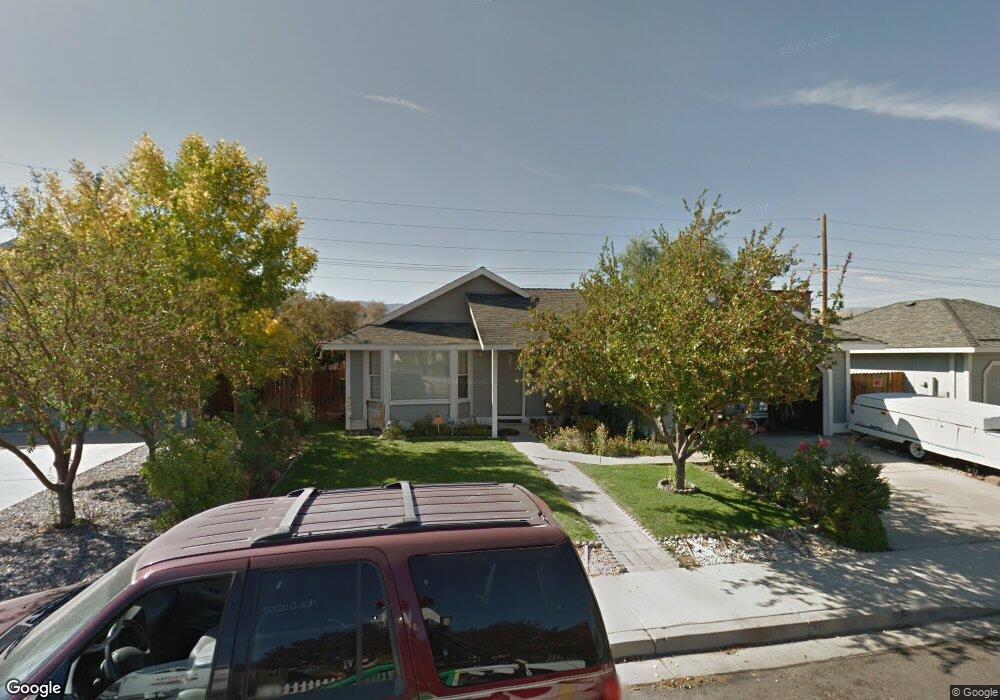
1784 Rock Ct Carson City, NV 89701
Riverview NeighborhoodEstimated Value: $426,000 - $451,000
3
Beds
2
Baths
1,298
Sq Ft
$338/Sq Ft
Est. Value
About This Home
This home is located at 1784 Rock Ct, Carson City, NV 89701 and is currently estimated at $439,306, approximately $338 per square foot. 1784 Rock Ct is a home located in Carson City with nearby schools including Empire Elementary School, Eagle Valley Middle School, and Carson High School.
Ownership History
Date
Name
Owned For
Owner Type
Purchase Details
Closed on
Dec 14, 2005
Sold by
Iliana Sandoval J and Iliana Sandoval C
Bought by
Sandoval J Francisco J and Sandoval Carmen Iliana
Current Estimated Value
Home Financials for this Owner
Home Financials are based on the most recent Mortgage that was taken out on this home.
Original Mortgage
$196,000
Interest Rate
6.31%
Mortgage Type
New Conventional
Create a Home Valuation Report for This Property
The Home Valuation Report is an in-depth analysis detailing your home's value as well as a comparison with similar homes in the area
Home Values in the Area
Average Home Value in this Area
Purchase History
| Date | Buyer | Sale Price | Title Company |
|---|---|---|---|
| Sandoval J Francisco J | -- | First Centennial Title Co Nv |
Source: Public Records
Mortgage History
| Date | Status | Borrower | Loan Amount |
|---|---|---|---|
| Closed | Sandoval J Francisco J | $196,000 |
Source: Public Records
Tax History Compared to Growth
Tax History
| Year | Tax Paid | Tax Assessment Tax Assessment Total Assessment is a certain percentage of the fair market value that is determined by local assessors to be the total taxable value of land and additions on the property. | Land | Improvement |
|---|---|---|---|---|
| 2025 | $2,345 | $77,204 | $27,300 | $49,904 |
| 2024 | $2,190 | $78,187 | $27,300 | $50,887 |
| 2023 | $2,028 | $75,060 | $27,300 | $47,760 |
| 2022 | $1,878 | $67,082 | $23,625 | $43,457 |
| 2021 | $1,824 | $62,505 | $21,525 | $40,980 |
| 2020 | $1,824 | $59,587 | $19,075 | $40,512 |
| 2019 | $1,718 | $59,224 | $19,075 | $40,149 |
| 2018 | $1,668 | $57,853 | $19,075 | $38,778 |
| 2017 | $1,619 | $57,225 | $18,550 | $38,675 |
| 2016 | $1,579 | $53,142 | $15,400 | $37,742 |
| 2015 | $1,575 | $53,049 | $15,313 | $37,736 |
| 2014 | $1,529 | $46,127 | $12,250 | $33,877 |
Source: Public Records
Map
Nearby Homes
- 1808 Rock Ct
- 1628 Brown St
- 4349 Stampede Dr
- 6 Kit Sierra Loop
- 3400 Woodside Dr Unit 23
- 3316 Woodside Dr Unit 14
- 3316 Woodside Dr Unit 16
- 1329 Stanford Dr
- 4070 Quinn Dr
- 4240 Sherman Ln
- 4057 Quinn Dr
- 3523 Stanton Dr
- 1402 La Loma Dr
- 61 Condor Cir
- 2355 Columbia Way
- 3905 Pheasant Dr
- 3913 Pheasant Dr
- 3932 Village Dr
- 3954 Village Dr
- 855 Sundance Ct