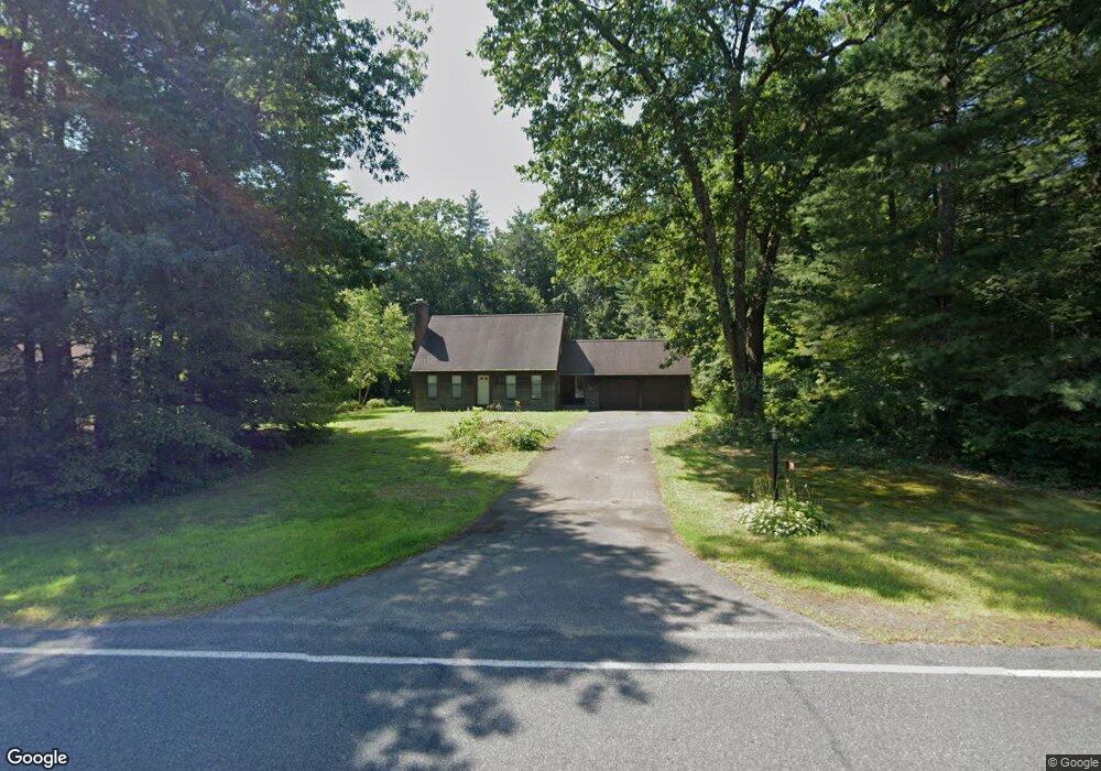
179 Plumtree Rd Sunderland, MA 01375
Estimated Value: $459,585 - $556,000
4
Beds
2
Baths
1,631
Sq Ft
$318/Sq Ft
Est. Value
About This Home
This home is located at 179 Plumtree Rd, Sunderland, MA 01375 and is currently estimated at $518,396, approximately $317 per square foot. 179 Plumtree Rd is a home located in Franklin County with nearby schools including Sunderland Elementary School and Frontier Regional School.
Ownership History
Date
Name
Owned For
Owner Type
Purchase Details
Closed on
Mar 17, 2008
Sold by
Sharyn A Wentworth Ret
Bought by
Sharyn A Wentworth Ret
Current Estimated Value
Purchase Details
Closed on
Aug 22, 1996
Sold by
Foley Mark T and Foley Linda A
Bought by
Wentworth Sharyn A
Home Financials for this Owner
Home Financials are based on the most recent Mortgage that was taken out on this home.
Original Mortgage
$20,000
Interest Rate
8.4%
Mortgage Type
Purchase Money Mortgage
Create a Home Valuation Report for This Property
The Home Valuation Report is an in-depth analysis detailing your home's value as well as a comparison with similar homes in the area
Home Values in the Area
Average Home Value in this Area
Purchase History
| Date | Buyer | Sale Price | Title Company |
|---|---|---|---|
| Sharyn A Wentworth Ret | -- | -- | |
| Wentworth Sharyn A | $160,250 | -- |
Source: Public Records
Mortgage History
| Date | Status | Borrower | Loan Amount |
|---|---|---|---|
| Previous Owner | Wentworth Sharyn A | $20,000 | |
| Previous Owner | Wentworth Sharyn A | $90,000 | |
| Previous Owner | Wentworth Sharyn A | $30,000 | |
| Previous Owner | Wentworth Sharyn A | $83,000 |
Source: Public Records
Tax History Compared to Growth
Tax History
| Year | Tax Paid | Tax Assessment Tax Assessment Total Assessment is a certain percentage of the fair market value that is determined by local assessors to be the total taxable value of land and additions on the property. | Land | Improvement |
|---|---|---|---|---|
| 2025 | $53 | $409,100 | $123,200 | $285,900 |
| 2024 | $5,376 | $409,100 | $123,200 | $285,900 |
| 2023 | $4,925 | $384,800 | $112,000 | $272,800 |
| 2022 | $4,973 | $338,300 | $96,000 | $242,300 |
| 2021 | $4,672 | $301,600 | $89,000 | $212,600 |
| 2020 | $3,449 | $301,400 | $89,000 | $212,400 |
| 2019 | $4,499 | $293,500 | $86,400 | $207,100 |
| 2018 | $3,521 | $288,800 | $82,900 | $205,900 |
| 2017 | $3,267 | $288,300 | $82,900 | $205,400 |
| 2016 | $4,240 | $289,200 | $81,300 | $207,900 |
| 2015 | $4,138 | $289,200 | $81,300 | $207,900 |
| 2014 | $4,043 | $289,200 | $81,300 | $207,900 |
Source: Public Records
Map
Nearby Homes
- 15 S Plain Rd
- 146 Old Amherst Rd
- 110 Old Amherst Rd
- 3 Depot Rd
- 10 Depot Rd
- 7 Roosevelt St
- 113 Juggler Meadow Rd
- Lot 3A-3 Leverett Rd
- 73 Depot Rd
- 39 Valley Ln
- 88 Farview Way
- 13 Harlow Dr
- 0 Henry St
- 110 Grantwood Dr
- 238 N Main St
- 11 Sheerman Ln
- 185 Cherry Ln
- Lot A Kingman Rd
- Lot C Mountain Rd
- Lot A Mountain Rd
- 175 Plumtree Rd
- 187 Plumtree Rd
- 188 Plumtree Rd
- 167 Plumtree Rd
- 184 Plumtree Rd
- 189 Plumtree Rd
- 191 Plumtree Rd
- 5 Pine Ct
- 159 Plumtree Rd
- 10 Pine Ct
- 195 Plumtree Rd
- 139 Plumtree Rd
- 0 Plumtree Rd Toye 116 Unit 30285389
- 196 Plumtree Rd
- 177 Plumtree Rd
- 168 Plumtree Rd
- 9 Pine Ct
- 147 Plumtree Rd
- 201 Plumtree Rd
- 202 Plumtree Rd