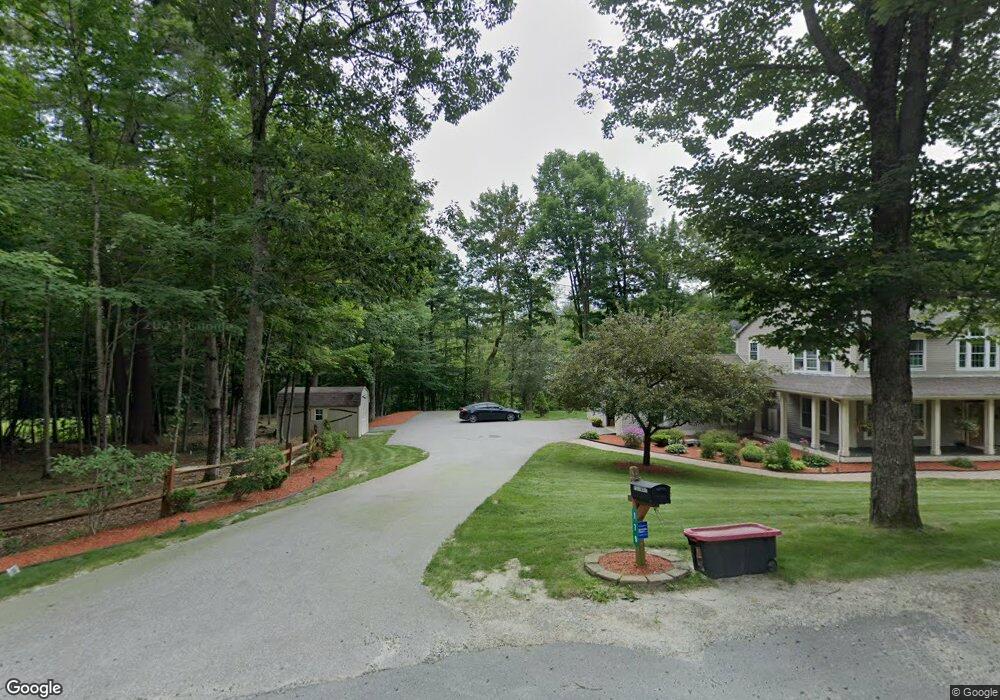
179 Walker Rd Grantham, NH 03753
Estimated Value: $753,508 - $813,000
4
Beds
3
Baths
3,264
Sq Ft
$241/Sq Ft
Est. Value
About This Home
This home is located at 179 Walker Rd, Grantham, NH 03753 and is currently estimated at $786,627, approximately $241 per square foot. 179 Walker Rd is a home located in Sullivan County with nearby schools including Grantham Village School and Lebanon High School.
Ownership History
Date
Name
Owned For
Owner Type
Purchase Details
Closed on
Jul 21, 2022
Sold by
Keith D Filiault T
Bought by
J K D
Current Estimated Value
Purchase Details
Closed on
Jan 7, 2021
Sold by
Filiault Keith and Filiault Jessica A
Bought by
Keith D Filiault and Keith Filiault
Purchase Details
Closed on
Jun 21, 2001
Sold by
Hanslin Rosli
Bought by
Filiault Keith and Filiault Jennifer
Create a Home Valuation Report for This Property
The Home Valuation Report is an in-depth analysis detailing your home's value as well as a comparison with similar homes in the area
Home Values in the Area
Average Home Value in this Area
Purchase History
We collect this data history from publicly available records. To have your information removed, we recommend requesting removal directly through your county’s website.
| Date | Buyer | Sale Price | Title Company |
|---|---|---|---|
| J K D | -- | None Available | |
| J K | -- | None Available | |
| D K | -- | None Available | |
| Keith D Filiault | -- | None Available | |
| Keith D Filiault T D | -- | None Available | |
| Keith D Filiault T | -- | None Available | |
| Filiault Keith | $42,000 | -- |
Source: Public Records
Mortgage History
We collect this data history from publicly available records. To have your information removed, we recommend requesting removal directly through your county’s website.
| Date | Status | Borrower | Loan Amount |
|---|---|---|---|
| Previous Owner | Filiault Keith | $337,000 | |
| Previous Owner | Filiault Keith | $23,000 |
Source: Public Records
Tax History
| Year | Tax Paid | Tax Assessment Tax Assessment Total Assessment is a certain percentage of the fair market value that is determined by local assessors to be the total taxable value of land and additions on the property. | Land | Improvement |
|---|---|---|---|---|
| 2025 | $13,280 | $600,100 | $74,700 | $525,400 |
| 2024 | $11,568 | $589,900 | $74,700 | $515,200 |
| 2023 | $10,376 | $589,900 | $74,700 | $515,200 |
| 2022 | $9,698 | $589,900 | $74,700 | $515,200 |
| 2021 | $10,204 | $445,200 | $79,300 | $365,900 |
| 2020 | $10,444 | $445,200 | $79,300 | $365,900 |
| 2019 | $10,582 | $409,200 | $77,300 | $331,900 |
| 2018 | $10,676 | $409,200 | $77,300 | $331,900 |
| 2017 | $9,706 | $409,200 | $77,300 | $331,900 |
| 2016 | $9,755 | $409,200 | $77,300 | $331,900 |
| 2015 | $9,870 | $409,200 | $77,300 | $331,900 |
| 2014 | $9,819 | $440,900 | $92,200 | $348,700 |
| 2013 | $9,453 | $440,900 | $92,200 | $348,700 |
Source: Public Records
Map
Nearby Homes
- 224 Walker Rd
- 155 Top of The World Rd
- 1053 Miller Pond Rd
- 0 Tall Timber Dr Unit 441
- 991 Route 10 N
- 69 Rawson Ridge
- 00 Route 10 N
- 0 Route 10 N Unit 5058175
- 27 Spring Valley Dr
- 14 Oak Ln
- 12 Old Spring Dr
- 840 Cove Dr
- 23 High Pond Rd
- 608 Otter Rd
- 14 Bay Tree Ln
- 2 Turner Brae
- 295 Frye Ln
- 626 Otter Rd Unit 626
- 64 High Pond Rd
- 8 Sandy Brae
- 119 Walker Rd
- - Walker Rd
- 201 Walker Rd
- 150 Walker Rd
- 56 Walker Rd
- 144 Walker Rd
- 244 Walker Rd
- 57 Walker Rd
- 642 Olde Farms Rd
- 0 Walker Rd
- 0 Walker Rd Unit 4194853
- 307 Walker Rd
- 532 Olde Farms Rd
- 631 Olde Farms Rd
- 631 Olde Farms Rd
- 668 Olde Farms Rd
- 331 Walker Rd
- 700 Olde Farms Rd
- 700 Olde Farms Rd
- 306 Walker Rd
Your Personal Tour Guide
Ask me questions while you tour the home.