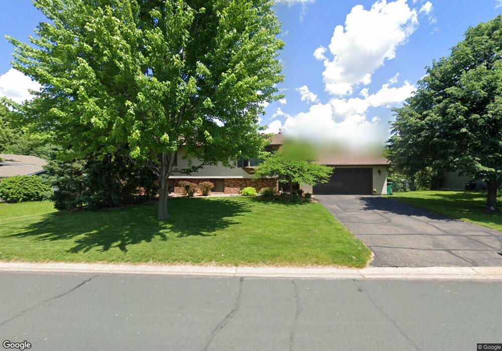
1791 Carnelian Ln Saint Paul, MN 55122
Estimated Value: $334,000 - $402,000
4
Beds
2
Baths
1,136
Sq Ft
$333/Sq Ft
Est. Value
About This Home
This home is located at 1791 Carnelian Ln, Saint Paul, MN 55122 and is currently estimated at $378,039, approximately $332 per square foot. 1791 Carnelian Ln is a home located in Dakota County with nearby schools including Burnsville High School, Becks Montessori, and Sunrise International Montessori School.
Ownership History
Date
Name
Owned For
Owner Type
Purchase Details
Closed on
Jun 8, 2022
Sold by
Marks Bernice
Bought by
Marks Elizabeth and Marks Ryan
Current Estimated Value
Home Financials for this Owner
Home Financials are based on the most recent Mortgage that was taken out on this home.
Original Mortgage
$288,272
Outstanding Balance
$273,882
Interest Rate
5.1%
Mortgage Type
New Conventional
Estimated Equity
$104,157
Create a Home Valuation Report for This Property
The Home Valuation Report is an in-depth analysis detailing your home's value as well as a comparison with similar homes in the area
Home Values in the Area
Average Home Value in this Area
Purchase History
| Date | Buyer | Sale Price | Title Company |
|---|---|---|---|
| Marks Elizabeth | $335,000 | -- |
Source: Public Records
Mortgage History
| Date | Status | Borrower | Loan Amount |
|---|---|---|---|
| Open | Marks Elizabeth | $288,272 |
Source: Public Records
Tax History Compared to Growth
Tax History
| Year | Tax Paid | Tax Assessment Tax Assessment Total Assessment is a certain percentage of the fair market value that is determined by local assessors to be the total taxable value of land and additions on the property. | Land | Improvement |
|---|---|---|---|---|
| 2024 | $3,488 | $364,200 | $83,200 | $281,000 |
| 2023 | $3,488 | $369,200 | $83,500 | $285,700 |
| 2022 | $3,042 | $352,500 | $83,300 | $269,200 |
| 2021 | $2,944 | $310,300 | $72,400 | $237,900 |
| 2020 | $2,980 | $284,600 | $69,000 | $215,600 |
| 2019 | $2,974 | $277,500 | $65,700 | $211,800 |
| 2018 | $2,670 | $266,100 | $62,600 | $203,500 |
| 2017 | $2,535 | $232,400 | $59,600 | $172,800 |
| 2016 | $2,494 | $221,300 | $56,800 | $164,500 |
| 2015 | $2,356 | $191,769 | $51,844 | $139,925 |
| 2014 | -- | $187,627 | $50,204 | $137,423 |
| 2013 | -- | $157,652 | $44,174 | $113,478 |
Source: Public Records
Map
Nearby Homes
- 4055 Cinnabar Dr
- 1781 Taconite Point
- 4100 Meadowlark Ln
- 1867 N Ruby Ct
- 3907 Mica Trail
- 1949 N Ruby Ct
- 1914 Sapphire Point Unit 102
- 1902 Sapphire Point Unit 110
- 1924 Sapphire Point Unit 97
- 1680 Oakbrooke Ct
- 3958 Riverton Ave
- 4155 Durham Ct Unit 61
- 1880 Deer Hills Trail
- 1928 Turquoise Trail
- 1865 Deer Hills Trail
- 1928 Glenfield Ct Unit 14
- 3933 Donegal Way
- 4110 Rahn Rd Unit 315
- 4110 Rahn Rd Unit 312
- 4110 Rahn Rd Unit 215
- 1787 Carnelian Ln
- 1795 Carnelian Ln
- 1790 E Bluestone Dr
- 1783 Carnelian Ln
- 1794 E Bluestone Dr
- 1799 Carnelian Ln
- 4048 Halite Ln
- 1782 E Bluestone Dr
- 1779 Carnelian Ln
- 4054 Halite Ln
- 1798 E Bluestone Dr
- 1803 Carnelian Ln
- 1778 E Bluestone Dr
- 1787 E Bluestone Dr
- 1791 E Bluestone Dr
- 4060 Halite Ln
- 4049 Halite Ln
- 1775 Carnelian Ln
- 1783 E Bluestone Dr
- 1807 Carnelian Ln